You can often spot the projects that started without proper survey information. The plans look fine on paper, then the builder finds an unexpected slope, a retaining wall that is not where anyone thought, or drainage that changes the layout completely. A topographical survey for house extension work helps prevent that kind of expensive surprise by giving your architect, designer and engineer an accurate picture of the site before design decisions are locked in.
For homeowners, that means fewer assumptions. For architects, builders and planners, it means working from measured data rather than guesswork. On sites across the Central Coast, where blocks can be sloping, irregular, coastal, constrained or affected by easements and existing services, that accuracy matters early.
What a topographical survey for house extension projects shows
A topographical survey maps the physical features of your land and the levels across it. It typically captures existing buildings, fences, retaining walls, driveways, trees, surface levels, kerbs, footpaths, stormwater pits, visible services, and other site features that may affect design and construction.
For a house extension, the survey is not just about contours. It is also about context. Designers need to understand how the proposed addition sits relative to the existing dwelling, site fall, boundaries, access points and neighbouring conditions. If the extension is planned near a side setback, over sloping ground or close to drainage infrastructure, the survey data becomes critical.
This is why a detail and contour survey is usually one of the first steps in the process. It gives the wider consultant team a reliable base plan to work from and reduces redesign later.
Why this survey matters before design starts
A house extension can look straightforward until the site starts dictating terms. A rear addition might need cut and fill. A second storey addition may trigger different height checks. A new garage or granny flat-style extension might be limited by stormwater grades or access constraints. Without an accurate survey, these issues often appear after drawings are well underway.
That creates delays, extra consultant time and sometimes avoidable changes to the footprint or floor level. In practical terms, the cost of a survey upfront is usually minor compared with the cost of revising plans, resubmitting documents or adjusting works during construction.
A good topographical survey for house extension planning also helps with council and approval requirements. If your architect or planner needs to demonstrate setbacks, building height, site coverage, drainage intent or relationship to existing site conditions, accurate survey information makes that process cleaner.
What your architect, planner or builder needs from the survey
Not every extension project needs the same level of detail. A simple enclosed patio on a relatively flat suburban lot may not require the same scope as a major addition on a steep waterfront block. The right approach depends on the site, the size of the works and the approval pathway.
In most cases, the survey should provide enough information for design and compliance decisions without leaving gaps that force follow-up site visits. That usually includes contours or spot levels, floor levels of the existing house, visible site improvements, boundary-related occupation details, adjoining street information and relevant structures near the proposed work area.
Where the project is tight to a boundary, involves drainage design, or may be affected by easements, additional detail can be especially useful. The surveyor should understand what the downstream consultants need and capture the site accordingly. That coordination saves time for everyone.
Topographical survey and boundary survey are not the same thing
This is one of the most common points of confusion for property owners. A topographical survey records physical features and levels across the land. A boundary survey deals with the legal boundaries of the property.
Sometimes a topographical survey for house extension design is enough on its own, especially where the extension is clearly internal to the site and there is no uncertainty about title boundaries. In other cases, a boundary identification or cadastral investigation may also be appropriate, particularly if the proposed works are close to a side or rear boundary, or if existing fencing does not align neatly with title information.
It depends on the risk. If a design assumes a boundary location that later proves incorrect, setbacks and compliance can quickly become a problem. This is why early advice from a registered surveyor is useful. It helps define the right scope before the project moves too far.
What happens during the survey process
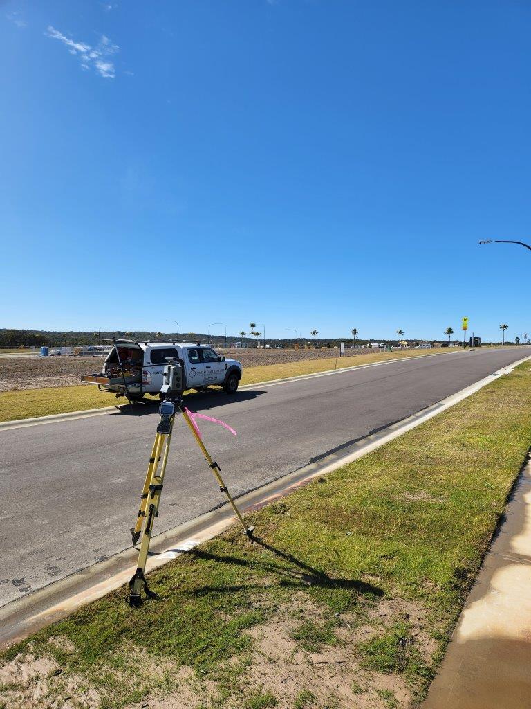
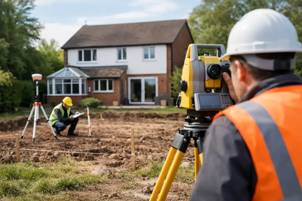
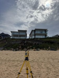
The fieldwork itself is generally straightforward, but the value comes from accuracy and experience. A surveyor attends site with specialised equipment to measure levels and features across the property. On the Central Coast, that can mean dealing with everything from narrow access and dense vegetation to steep grades and built-up residential lots.
After capture, the data is processed and drafted into a survey plan that the design team can use. That plan becomes the reference point for architectural design, engineering input and often parts of the approval documentation.
If the project later moves into construction, the same survey partner can often assist with set-out, floor level checks and final surveys. That continuity reduces handover issues because the consultant already understands the site and the approved intent.
Common site issues a topographical survey can reveal
Some of the most useful survey findings are the ones that stop assumptions early. A topographical survey may reveal that the land falls more sharply than expected, that an existing retaining wall affects the proposed extension area, or that stormwater infrastructure limits where new works can go.
It can also identify practical buildability issues. Driveway grades, access constraints, existing outbuildings, neighbouring improvements and surface drainage paths all influence how easily an extension can be built. On older properties, the relationship between the existing house and the surrounding ground can also affect finished floor levels and connection details.
None of these issues automatically stop a project. They simply need to be known early so the design responds properly.
How this helps control cost and time
The main benefit is not the drawing itself. It is the reduction in uncertainty. Better site information leads to better decisions about layout, levels, drainage and structural design. That generally means fewer redesigns, fewer approval queries and less disruption once the builder is on site.
There is also a program benefit. When architects, planners and engineers receive clear survey data early, they can progress their work faster and with more confidence. That matters when approvals are time-sensitive or when construction needs to align with financing, tenancy, family living arrangements or builder availability.
For professionals managing multiple consultants, survey accuracy also improves coordination. Everyone works from the same base information rather than interpreting site conditions differently.
Choosing the right surveyor for an extension project
For residential work, local knowledge matters more than many people expect. A registered surveyor who regularly works across the Central Coast will be familiar with the types of sites, approval conditions and practical constraints common in the region. That can help with both scope and turnaround.
It is worth choosing a consultancy that understands the full project path, not just the initial survey. An extension often involves interaction between survey, architecture, engineering, planning and later construction set-out. When the surveyor knows how that process unfolds, the initial deliverable is usually more useful.
Speed also matters, but only if it comes with accuracy. Fast turnaround is valuable when a project is waiting on survey information, yet rushed or incomplete work can create more delay later. The balance should be responsive service backed by registered expertise and reliable field-to-plan workflows.
That is the standard Central Coast Surveyors works to – clear scope, accurate site data and practical support that helps the next stage move without unnecessary hold-ups.
When to arrange a topographical survey for house extension works
The best time is before design starts in earnest. If you already know you want concept plans, council advice or builder pricing, organise the survey first. That allows the design team to respond to the actual site rather than trying to retrofit a concept once constraints emerge.
If plans are already underway without a survey, it is still worth stopping to get proper site information before the design goes too far. That small pause is often cheaper than correcting assumptions later.
A house extension is rarely just about adding floor area. It is about making the new work fit the land, the existing dwelling and the approval framework. When the survey is done properly from the outset, the rest of the project tends to move with fewer surprises and better decisions. That is usually the difference between a smooth extension and one that keeps needing to be fixed on paper and on site.

 .
.