
A Practical Guide to Cadastral Boundary Surveys
A fence that appears to divide two properties is not necessarily the legal boundary. It may have been built for convenience, shifted during earlier works, or placed before the land was formally subdivided. This guide to cadastral boundary surveys explains how legal boundaries are found, why the work matters before building or fencing, and what Central Coast property owners can expect from a registered surveyor.
What is a cadastral boundary survey?
A cadastral survey establishes, reinstates or defines the legal boundaries of land. It is the survey work behind property titles, subdivisions, easements and boundary mark-outs. In practical terms, it answers a question that can carry significant cost: where does your land legally begin and end?
The surveyor does not simply measure from an old fence or rely on the dimensions shown on a sales contract. They assess the title, deposited plans, survey records, adjoining parcels and physical evidence on site. Existing survey marks, such as pegs, pipes, drill holes or reference marks, are located and assessed alongside the legal records.
In NSW, cadastral work is undertaken by a registered surveyor. Registration matters because the result may support a subdivision plan, an easement, a boundary definition or construction work that must be positioned correctly in relation to title boundaries.
Why a title plan is not enough
Many owners assume the plan attached to their title will let a builder, fencer or homeowner measure out a boundary. It generally will not. Deposited plans are legal documents, but the drawing itself is not a scaled set-out plan for use on the ground. It must be interpreted with the relevant survey information and evidence.
A cadastral boundary survey considers more than the dimensions printed on a plan. A surveyor may need to review historical plans, field notes, adjoining titles and records held through NSW Land Registry Services. The hierarchy and quality of available evidence can affect how a boundary is re-established.
This is particularly relevant on older Central Coast properties, where original marks may be disturbed, buried, missing or affected by past building works. Sloping sites, waterfront land and irregular older subdivisions can add further complexity. The process is evidence-based, not an estimate based on a tape measure.
When should you arrange a boundary survey?
The right time depends on the project, but arranging the survey early usually prevents expensive changes later. A boundary survey is commonly needed before a new fence is installed, an extension is designed close to a side boundary, a garage or shed is set out, or a retaining wall is planned.
It is also important where an existing building appears close to a boundary, particularly when applying for a council building certificate or investigating a possible encroachment. For development and subdivision projects, cadastral information forms a critical foundation for planning, design and registration.
A boundary survey is often worthwhile during a property purchase where there is uncertainty about fencing, access, occupation or the location of improvements. It can clarify the position before a disagreement, construction commitment or transaction creates pressure.
Common project triggers
Boundary work is regularly requested for fencing disputes, building set-out, new dwellings, decks, swimming pools, boundary adjustments, easement creation and Torrens title subdivisions. It may also be required for identification surveys, particularly where a solicitor, lender, purchaser or council needs confirmation of improvements in relation to the land title.
The required scope differs between these jobs. A simple boundary mark-out may be suitable for a straightforward fencing decision, while an identification survey or subdivision requires more detailed work and formal documentation. Explaining the purpose at the outset helps the surveyor recommend the appropriate service rather than producing information that is either insufficient or unnecessarily broad.
How cadastral boundary surveys are completed
A reliable cadastral survey follows a defined sequence. The exact method varies with the age of the title, site access, terrain and the availability of original marks, but the work generally begins well before the survey team arrives on site.
1. Title and survey records are investigated
The surveyor obtains and reviews the current title and relevant deposited plans. They investigate earlier survey information and records that may identify original marks, dimensions, bearings, easements and relationships to adjoining land.
This research is essential. A mark found in the ground only has meaning when it is considered against the legal survey evidence. A peg near a fence may be an original boundary mark, a later replacement mark, a construction reference or unrelated site debris.
2. The site is measured and physical evidence is assessed
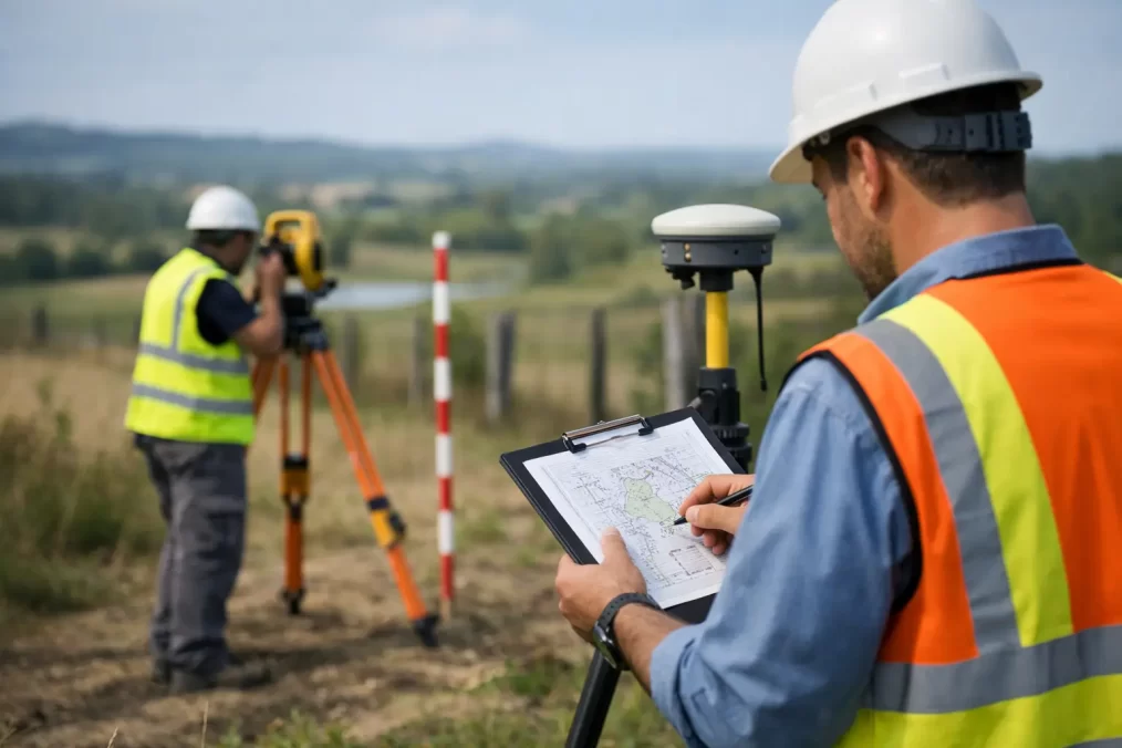
On site, the survey team searches for boundary marks and measures the property using professional surveying equipment. Modern Trimble technology assists with precise field observations, but technology does not replace professional judgement. The surveyor must assess whether the marks and measurements reconcile with the legal definition of the parcel.
Features such as fences, walls, buildings, kerbs and occupation lines are also located where relevant. These features can reveal differences between apparent occupation and the legal boundary. They are useful evidence, but they do not automatically determine ownership.
3. The boundary is calculated and checked
Field measurements and documentary evidence are processed, tested and reconciled. If the available evidence is clear, the surveyor can determine the boundary position and place or identify marks accordingly. If evidence is missing or inconsistent, further investigation may be needed.
This is one reason turnaround times can vary. A regular suburban lot with accessible marks is often more straightforward than a large rural parcel, an old subdivision with limited surviving evidence, or a site where dense vegetation and structures obstruct access.
4. Marks, plans or reports are provided for the project
The final output depends on the brief. For a boundary mark-out, visible marks may be placed or pointed out so a fence contractor or builder can work from the correct line. For an identification survey, the client may receive a plan showing title boundaries, buildings and relevant encroachments or offsets.
For subdivision, the surveyor prepares the cadastral plan and coordinates the survey component through the approval and registration process. This may involve working closely with planners, engineers, architects, certifiers and NSW Land Registry Services.
What a boundary mark-out can and cannot do
A boundary mark-out is one of the most practical applications of cadastral surveying. Once the boundary has been determined, a registered surveyor can mark key corners or line points on the ground. This gives contractors a dependable reference before fencing, excavation or construction begins.
However, a mark-out does not resolve every property issue. It does not decide ownership of a disputed strip of land, provide legal advice on adverse possession, or settle a neighbour dispute by itself. If an occupation line differs from the title boundary, legal advice may be required alongside the survey evidence.
Similarly, a boundary survey does not replace the need for planning approval, building approval or checks against setbacks, easements and zoning controls. It provides accurate land information so those decisions can be made on a sound basis.
Avoiding costly boundary mistakes
The most common mistake is treating a visible fence as proof of title. Another is starting design work before the boundaries are known. A proposed extension may comply with a designer’s assumed setback but prove unworkable once the legal boundary is located.
Owners should also avoid removing old pegs, pipes or survey marks. They may be important evidence for future surveying work, even if they do not look significant. If site works are planned, ask the surveyor which marks need protection and ensure contractors understand their location.
Clear access helps the survey proceed efficiently. Before the site visit, remove reasonable obstructions where safe to do so, arrange access to locked areas and tell the surveyor about dogs, steep ground, dense vegetation, recent earthworks or known old marks. Where access to neighbouring land may be useful, early communication can reduce delays, although a surveyor can advise what is necessary for the specific job.
Choosing the right surveyor in NSW
For legal boundary work, check that the surveyor is registered in NSW and experienced in cadastral surveying. Local knowledge is valuable too. Familiarity with Central Coast subdivisions, council processes and the typical challenges of coastal, bushland and sloping sites can make coordination more efficient.
Ask what the scope includes, what documents or marks you will receive, whether adjoining land needs to be accessed, and how the result will support the next stage of your project. If you are working with an architect, builder or planner, nominate them early so the survey information can be issued in a format they can use.
Central Coast Surveyors can coordinate cadastral boundary work with detail surveys, identification surveys, construction set-out and subdivision surveying, helping reduce the handover points that often slow a project down.
Before you commit to a fence, footing or final design line, make sure it is tied to the legal boundary rather than an assumption. A timely cadastral survey gives every person involved in the project the same reliable starting point.