
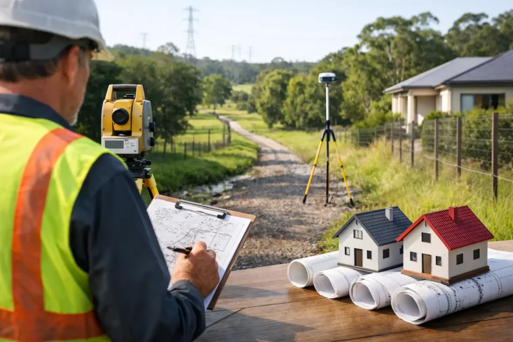
Easement Survey NSW: What Property Owners Need
A fence line looks simple until a sewer main, drainage line or access right runs straight through it. That is usually when an easement stops being a title note and starts affecting real decisions – where you can build, what council may approve, and whether a deal or project keeps moving.
If you are searching for easement survey NSW: what property owners need, the short answer is this: you need clarity before design, construction or registration work starts. An easement survey identifies where the easement sits in relation to your land, improvements and boundaries, and it provides the measured information needed for approvals, plan preparation and title registration.
What an easement survey actually covers
An easement is a legal right affecting land. It may allow access through one property, protect drainage infrastructure, carry sewer or water services, or preserve rights for utilities and neighbouring landowners. In NSW, easements are usually created, varied or removed through formal plans and legal documentation, not informal agreements or assumptions on site.
An easement survey is the surveying work required to locate, define or create that easement accurately. Depending on the job, that might involve confirming title boundaries, measuring existing improvements, locating services, preparing a survey plan for a proposed easement, or supplying data that a solicitor, planner, architect or civil engineer needs to progress the matter.
For property owners, the practical issue is not just whether an easement exists. It is whether the easement affects what you want to do with the land. A deck extension, granny flat, driveway relocation, retaining wall, subdivision layout or stormwater upgrade can all be affected.
When property owners in NSW usually need an easement survey
Most clients do not ask for an easement survey out of curiosity. They need one because a project has reached a point where assumptions are risky and delays are expensive.
A common trigger is a proposed build near a service corridor or drainage line. If plans are being prepared and the title shows an easement, the designer needs reliable surveyed information rather than scaling from old documents. Another common situation is subdivision, where a new drainage, access or services easement may be required to satisfy council or servicing authorities.
You may also need an easement survey when buying or selling a property, resolving a boundary or access issue, applying for approvals, transferring a waterfront matter, or dealing with non-compliant structures built close to an easement area. In older parts of the Central Coast, it is not unusual for physical occupation on site to tell a different story from the title and deposited plan history. That is where a registered surveyor becomes essential.
Easement survey NSW: what property owners need to understand first
The first thing to understand is that title diagrams do not always give you enough practical site information to make building or compliance decisions. They show the legal framework, but they do not replace a current field survey.
The second is that not every easement problem has the same solution. Sometimes the easement simply needs to be located and shown in relation to your proposed works. Sometimes a new easement must be created because a stormwater design, access arrangement or services connection cannot be approved without it. In other cases, a variation or extinguishment may be considered, but that depends on who benefits from the easement, what authorities are involved and whether the legal and planning pathway is realistic.
The third is timing. If an easement issue is discovered late – after architectural plans, engineering drawings or construction pricing are already underway – redesign costs can follow quickly. Surveying early is usually the cheaper option.
What the survey process usually looks like
The process starts with document review. A registered surveyor examines the title, deposited plans, any easement instruments and other relevant records to understand the legal position of the land. This matters because easements are defined by legal description, and the wording can be just as important as the dimensions.
Field work then confirms the cadastral framework and measures the site. That may include boundary evidence, existing structures, fences, driveways, pits, visible services, levels and features relevant to the easement question. If a proposed easement is being created, the surveyor also needs enough site data to position it accurately and ensure the plan will work with the design intent and title requirements.
After field work, the survey information is processed and analysed. If the project involves plan preparation, the surveyor prepares the required plan documentation for the relevant approval or registration pathway. If the project is still in design phase, the survey output may instead be issued to your architect, planner or engineer so they can proceed with confidence.
That process sounds straightforward, but the complexity can vary. A single residential drainage easement is very different from a multi-lot subdivision with new access rights, services coordination and plan registration requirements.
Why registered surveyors matter on easement work
Easements sit at the intersection of land law, measurement, construction and approval processes. That is why this is not a job for guesswork, rough set-outs or title scaling.
In NSW, a registered land surveyor has the qualifications and authority to deal with cadastral definition and the preparation of plans that support legal registration outcomes. For property owners, that means the work is grounded in proper boundary reinstatement, defensible measurements and compliance with the relevant registry standards.
It also helps avoid a common and costly problem – receiving advice from different parties that sounds reasonable but does not line up legally. Builders, neighbours and contractors often have practical observations, but they are not a substitute for a registered survey opinion when rights over land are involved.
What can affect cost and timing
Property owners often want a quick price for an easement survey, but scope matters. The cost will depend on the type of easement, site access, terrain, title complexity, availability of records, whether boundary reinstatement is required, and whether the outcome is advisory, design support or a formal plan for registration.
Timing also depends on how many moving parts are involved. If the survey is only needed to identify an existing easement against a current site survey, the turnaround may be relatively quick. If multiple owners, solicitors, councils, authorities or consultants need to coordinate, the overall timeframe expands.
The trade-off is simple. A faster early survey usually reduces downstream delays. Waiting until the design is advanced can save nothing if the easement forces redesign, approval amendments or construction changes.
Common mistakes property owners make
One mistake is assuming an easement shown on title is already obvious on the ground. It often is not. Another is building near an easement without checking restrictions, authority requirements or whether access for maintenance must be preserved.
A third mistake is treating the issue as purely legal or purely engineering. In practice, easement matters usually need both accurate survey definition and coordinated input from the wider project team. If the surveyor, designer and solicitor are not working from the same information, small inconsistencies can become major hold-ups.
Some owners also leave the question too late because they are trying to keep early costs down. That can work on very simple sites, but where boundaries, services and approvals are already tight, it is a false economy.
Easement survey NSW: what property owners need from the right consultant
You need more than a plan. You need a surveyor who can explain what is affecting the site, identify the likely pathway, and provide information that other consultants can use without rework.
That means local experience matters. On the Central Coast, approval expectations, site constraints and property history can differ significantly from one suburb or development pattern to another. A consultant who regularly works across residential lots, rural holdings, waterfront land and subdivisions is usually better placed to spot issues early and keep the process moving.
It also means responsiveness matters. Easement work often sits on the critical path for design or approval. Slow turnaround from one consultant can stall everyone else. A capable surveying team should be able to move from records review to field work to usable output efficiently, while still maintaining the precision required for legal and construction purposes.
Where a project needs broader support, Central Coast Surveyors can assist from early site survey through easement plan preparation and the registration stage, which helps reduce handover delays between separate providers.
What to have ready before you call
If you need advice on an easement matter, it helps to have the property address, any title or deposited plan references, a clear description of the issue, and copies of any concept plans, engineering sketches or council correspondence. If you know what you are trying to achieve – build over, build near, create, vary or clarify an easement – say that at the start.
That does not mean you need all the answers before making contact. It just helps the surveyor identify scope quickly and tell you whether the next step is a boundary survey, detail survey, easement investigation, plan preparation or coordination with your designer or solicitor.
The best time to sort out an easement is before it turns into a construction or approval problem. If something on title, site or design does not line up, getting accurate advice early usually keeps your options wider and your project a lot easier to manage.