
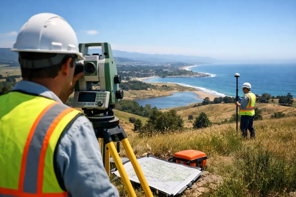
Topographic Surveys for Central Coast Projects
A contour shown 300 mm out of position can change a driveway grade, drainage solution, retaining wall height or finished floor level. That is why topographic surveys are usually the first technical step for a Central Coast development, renovation or construction project. They give the design team a reliable picture of the land before plans are drawn, costs are committed or work begins on site.
For homeowners, this may mean knowing whether a proposed extension works with the slope of the block. For architects, builders and engineers, it means having coordinated site data they can design and set out from with confidence. The quality and scope of the survey directly affect the decisions that follow.
What a topographic survey shows
A topographic survey, often called a detail and contour survey, records the shape of the land and the physical features that may affect a proposal. The final plan presents measured information in a form that architects, planners, engineers and certifiers can use for design, approvals and construction planning.
The survey will typically show contours or spot levels across the site, building footprints, fences, driveways, kerbs, paths and retaining walls. It can also locate visible services and drainage structures, trees, rock outcrops, pools, sheds, walls, power poles and other relevant improvements. Road features, adjoining structures and available survey marks may be included where they influence the design outcome.
The required scope depends on the project. A compact residential block may need a focused survey of the lot, street frontage and immediate adjoining conditions. A sloping acreage, waterfront property or subdivision site may require a wider survey extent, more detailed level coverage and information beyond the title boundary.
A topographic survey is not automatically a boundary definition or an identification survey. While it may show apparent fencing and occupation, those features do not establish the legal boundary. Where boundary position, encroachments, building certificates, a sale or title matter is involved, a separate cadastral or identification survey may be needed.
When topographic surveys should be commissioned
The best time to arrange a survey is before design starts, not after preliminary plans have been developed around assumptions. Early site data helps the design team work with real levels and constraints from the outset, reducing redesign when the site conditions are later confirmed.
Before architectural and engineering design
Architects need accurate levels, building locations and site features to position a new dwelling, alteration, duplex or commercial building. Civil and structural engineers rely on the same information to develop drainage, earthworks, retaining, access and footing designs.
On the Central Coast, changes in level can be significant even within a standard residential lot. A survey that captures the existing ground properly helps determine whether a split-level solution, retaining wall, compliant driveway or cut-and-fill approach is practical before plans are finalised.
For development applications and approvals
Councils and certifiers often require plans that reflect the existing site conditions. A current survey provides the base information for site plans, shadow diagrams, stormwater design and documentation supporting a development application or complying development proposal.
Requirements vary according to the site, proposal and approval pathway. Flood-affected land, bushfire-prone areas, waterfront sites and properties with difficult access can involve additional consultant input. A clear survey brief allows the necessary information to be captured efficiently and issued in a format that works for the broader consultant team.
Before construction and site set-out
Builders use topographic information to understand access, levels and likely site works before quoting and programming construction. Once the design is approved, construction set-out translates the approved plans to the ground. Starting with a dependable survey reduces the risk that the set-out is based on unsuitable or incomplete background information.
It is also useful for renovation projects. Existing house levels, floor levels, roof features and nearby structures may be critical when planning additions, decks, garages, pools or secondary dwellings.
The site information that makes a difference
Not every visible feature needs to appear on every plan, but missing the wrong feature can create a costly problem. Before fieldwork begins, the surveyor should understand what is being designed and which consultants will use the data.
For a typical building project, the survey scope may include:
- contours and spot levels across the site and relevant road frontage;
- existing buildings, floor levels, rooflines and major structures;
- visible drainage pits, service covers, poles, overhead wires and utility features;
- fences, retaining walls, driveways, paths, vegetation and surface materials; and
- relevant adjoining features, including building locations and levels where accessible or visible.
Visible services should not be confused with a full underground services investigation. A survey can locate what is apparent above ground and identify visible lids, pits and markers, but it does not prove the route or depth of buried assets. Where excavation is proposed, service searches and specialist locating may be required before work proceeds.
Similarly, trees can be recorded to suit a design or arborist brief, but the required level of detail should be agreed first. Tree position, trunk diameter, canopy spread and height are different data points, and the right approach depends on council requirements and the proposed works.
How the survey process works
A well-managed survey starts with the right documents. Providing the current plans, property address, lot details, any previous survey information and a short description of the proposal helps the survey team set the correct scope. Access arrangements matter too, particularly where the property is occupied, gated or includes areas that cannot be safely observed from the street.
On site, surveyors use modern equipment such as GNSS, total stations and digital data capture systems to measure features and levels accurately. Trimble surveying technology supports efficient field collection and integration with established control, but technology is only part of the outcome. The survey must be planned, checked and interpreted by people who understand the site, the purpose of the work and NSW surveying requirements.
The field data is then processed into a scaled plan. Depending on the brief, the deliverable may be supplied as a PDF for review and as a CAD file for architects, engineers or planners. Levels are commonly presented relative to Australian Height Datum where suitable control is available, allowing different consultant drawings to work from a consistent vertical reference.
Turnaround depends on site size, access, vegetation, the amount of detail required and current project demands. Straightforward residential sites can often be completed promptly, while large, steep, heavily vegetated or complex sites need more field time and checking. Fast delivery is valuable, but a rushed survey that misses critical features can delay the project later.
Accuracy, scope and cost: the practical trade-off
A survey does not need to capture every item on a property. It needs to capture the information necessary for the intended decision. Over-scoping can add cost without improving the design. Under-scoping often leads to an architect or engineer requesting further site work after the design has already started.
For example, a basic survey for preliminary feasibility may not require roof details or extensive adjoining information. A detailed survey for a new home on a constrained site may need floor levels, ridge levels, retaining walls, drainage, visible services and street data. If the project involves an existing building, the relationship between internal floor levels and external ground levels can be especially important.
Tell the surveyor if the project includes a pool, basement, drainage design, subdivision, waterfront works, a new driveway or substantial earthworks. Each can change the survey extent and detail required. This is not about adding unnecessary items. It is about issuing usable information once, rather than discovering a gap when another consultant is waiting on it.
Choosing the right survey partner
The survey should fit within the wider project sequence. A capable local surveying consultancy can coordinate with the architect, town planner, engineer, builder and certifier, ensuring the deliverable is appropriate for the next stage rather than simply producing a generic plan.
Ask whether the surveyor has experience with comparable Central Coast sites and whether they can assist beyond the initial detail survey if the project progresses. Boundary mark-outs, construction set-out, floor level reports, subdivisions and final plans each require different expertise, but continuity across those stages can reduce duplicated information and avoidable delays.
For title, boundary and subdivision matters, registered surveying expertise is essential. Registered surveyors are qualified to undertake cadastral work that affects legal boundaries and plans lodged with NSW Land Registry Services. Knowing when a topographic survey is enough – and when a separate legal boundary service is required – protects the project from assumptions that are expensive to correct.
Central Coast Surveyors approaches the initial site survey as working project information, not a stand-alone drawing. The aim is to give every consultant a clear, accurate base from which to make the next decision.
Before finalising a design fee, arranging a builder’s quote or lodging an application, make sure the site is understood in measured terms. A properly scoped topographic survey gives the project a sound starting point and lets the rest of the team move forward with fewer surprises.