What a Right of Access Survey Covers
If access to a lot is unclear, delayed or being challenged, the problem usually sits in the land records, the site conditions, or both. That is exactly where understanding what a right of access survey covers becomes valuable. It gives property owners, builders, designers and legal advisers clear survey evidence about where access rights exist, how they relate to title boundaries, and whether the physical use on the ground matches the legal position.
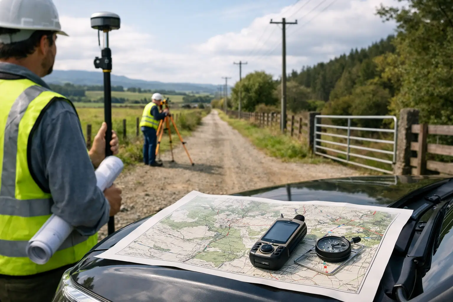
A right of access survey is not a generic site visit. It is a targeted cadastral and title-based survey that investigates how a person, neighbour, authority or lot is legally permitted to enter or pass through land. In practical terms, that often means checking an easement for access, a right of carriageway, an access handle, common property access, or an implied or long-used access path that now needs proper clarification.
What a right of access survey covers in practice
At its core, the survey covers three connected questions. First, where are the legal boundaries of the land involved? Second, what access rights are recorded on title, deposited plans or other registered documents? Third, does the physical situation on site line up with those records?
That sounds straightforward, but access issues rarely are. A driveway may sit partly outside the easement corridor. A shared accessway may have been fenced incorrectly years ago. A battle-axe handle may be narrower on the ground than shown on the plan. In other cases, there may be no visible issue at all until a development application, building certificate, subdivision or sale brings the access question into focus.
A proper survey investigates both the paperwork and the site evidence. That is what makes it useful. It is not just a title search and it is not just measuring fences. It is the combination of legal survey interpretation and physical survey control.
The title and plan investigation
One of the first parts of the process is reviewing the relevant land records. This may include the current certificate of title, deposited plans, old subdivision plans, easement diagrams, dealings affecting the land and any registered restrictions or rights benefiting or burdening the property.
The point of this review is to confirm whether access is legally created and, if so, exactly how it is defined. Some access rights are clearly shown with dimensions and bearings. Others are described by reference to older plans or created in a way that needs careful interpretation. On older lots, terminology can vary, and that can affect how the access is understood today.
For example, a title may refer to a right of carriageway with a stated width, but the plan relationship to current occupation can be less obvious. In a strata or community title setting, access may run through common property rather than a conventional easement. On rural land, access might involve long boundaries, irregular occupation lines or older monumentation that needs more investigation than a standard suburban block.
This is why registered survey input matters. The survey is not only about locating lines. It is about interpreting survey evidence correctly so decisions can be made with confidence.
Boundary definition is a major part of the job
Access rights only make sense when the parcel boundaries are accurately established. If the lot boundaries have not been properly surveyed, it is difficult to say whether a driveway, access strip, gate opening or formed track sits within the land it is supposed to occupy.
That means a right of access survey will usually include cadastral boundary investigation. Existing survey marks are searched for and coordinated. Occupation evidence such as fences, walls, kerbs, driveways and building lines may also be measured where relevant. The surveyor then compares that evidence with the title dimensions and historical survey framework.
This step often resolves issues that have caused months of confusion. Clients sometimes assume the dispute is about an easement, when the real issue is that the fence line is not on the boundary. In other matters, everyone agrees where the boundary is, but the formed accessway has drifted outside the legal corridor. Those are very different problems, and they need different solutions.
Physical features and site use
A right of access survey also considers the practical use of the access area. That can include locating driveways, gates, retaining walls, fences, gardens, parked vehicle areas, service pits, poles, drainage structures and any building encroachments that affect movement through the site.
This matters because legal access on paper is only part of the picture. If the accessway is obstructed or built over, the issue may move from title interpretation to compliance, design revision or dispute resolution. For a proposed development, the survey can show whether existing access is usable as it stands or whether redesign is needed.
For property owners, this often becomes relevant when planning an extension, replacing a fence, formalising a shared driveway arrangement or preparing land for sale. For builders and consultants, it becomes critical when access width, turning space or legal frontage needs to be verified before approvals progress.
Easements, shared driveways and battle-axe access
Many access surveys relate to common property arrangements that look simple from the street but are not simple on paper. Shared driveways are a good example. Two neighbours may both use a driveway, but the legal basis for that use might be an easement over one lot, reciprocal rights, common property rights, or merely an informal arrangement that has never been properly documented.
Battle-axe lots also come up regularly. The access handle may appear clear, but if fences, landscaping or structures have narrowed the usable width, that can affect compliance and future building work. For development sites, even a small discrepancy can create delays if access for vehicles, services or construction traffic does not match approved assumptions.
In these situations, the survey clarifies what exists legally and physically. It does not, by itself, create a new right. But it gives the evidence needed to confirm an existing right, support legal advice, assist redesign, or prepare documentation for a new easement if one is required.
What the final survey information is used for
The output from a right of access survey depends on the matter at hand, but it typically supports one or more practical outcomes. It may help a solicitor assess a title issue, assist an architect or planner with a design response, support discussions between neighbours, or provide measured evidence for council or Land Registry documentation.
Where access is disputed, the survey can form part of the factual basis for resolution. Where access needs to be created or adjusted, it can support the preparation of easement plans or subdivision documentation. Where a property owner simply needs clarity before building, buying or selling, it can remove guesswork before costs escalate.
That practical value is the reason clients seek the survey early rather than late. Once design is advanced, contracts are exchanged or a dispute becomes entrenched, even a relatively small access issue can become expensive.
What a right of access survey does not do
It is equally important to be clear about the limits. A survey identifies and maps evidence. It interprets title and cadastral information within the surveyor’s professional role. It does not replace legal advice about enforceability, compensation, prescriptive rights or court outcomes.
In some matters, the survey findings are clear but the path forward still depends on a solicitor, planner or consent authority. For example, an existing access route might be physically established yet not be legally protected in the way a lender, purchaser or approving authority expects. In that case, the survey is still essential, but it is only one part of the overall solution.
When to arrange one
The best time is usually as soon as access becomes a live issue, not after plans are finalised or disagreement has hardened. Early survey work can identify whether the access is legally secure, whether the occupied layout aligns with title, and whether any follow-up work is likely.
That is especially relevant for subdivisions, new dwellings on rear lots, duplex and multi-dwelling projects, rural access arrangements, waterfront properties and any site with shared use between owners. It is also worthwhile before purchasing a property where access relies on a long driveway, a secondary strip of land or rights over adjoining land.
For clients across the Central Coast, local knowledge can make a real difference here. Older subdivisions, waterfront lots, irregular terrain and long-established occupation patterns often require more than a quick desktop review. A registered surveyor with cadastral experience can assess the records, recover the evidence and provide clear direction on the next step.
If you are relying on access for design, approval, construction or settlement, certainty is worth getting early. A clear survey answer now is usually far easier to deal with than an access problem discovered halfway through the project.