
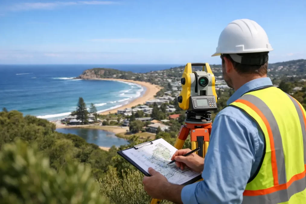
Land Surveyor Recommendations for Terrigal Sites
A boundary peg hidden beneath garden growth, a sloping block above the beach, or plans that need to be lodged before a builder can start – these are not jobs for a generic quote and a hopeful guess. When seeking land surveyor recommendations in the Terrigal area, the right choice depends on what you need surveyed, where your project is up to and whether the work must support council, construction or NSW Land Registry Services requirements.
A good recommendation should do more than point you towards a familiar name. It should help you appoint a surveyor with the registration, local experience and capacity to provide the right information at the right point in your project.
Why recommendations need to match the job
“Land survey” can describe very different work. A homeowner preparing a new deck may need an identification survey or boundary advice. An architect designing an extension usually needs an accurate detail and contour survey. A developer creating new lots needs a registered surveyor who can manage the subdivision process through to plan registration.
The consequences of choosing the wrong scope can be significant. Design teams may work from incomplete levels, a builder may set out work incorrectly, or an approval process may pause while further information is obtained. The cheapest initial quote is not necessarily the lowest project cost if the survey needs to be repeated or does not meet the requirements of the next consultant.
For Terrigal properties, the site itself often adds complexity. Sloping terrain, older development patterns, constrained access, coastal exposure and neighbouring improvements can all affect the field work and the detail needed in the final plan. A surveyor familiar with Central Coast conditions can identify likely issues early, rather than leaving them for the designer, certifier or builder to uncover later.
Land surveyor recommendations for Terrigal projects
The most useful recommendations come from people whose project was similar to yours. An architect can usually comment on the quality and usability of a contour survey. A builder can speak to set-out accuracy and responsiveness on site. A conveyancer or solicitor may have experience with identification surveys, easements or title matters. For a subdivision, ask planners and civil engineers who regularly work with surveyors through the approval and registration stages.
Even then, confirm the details yourself. A strong recommendation is a starting point, not a substitute for checking capability.
Check registration and relevant experience
If your work involves property boundaries, subdivision plans, easements or dealings with NSW Land Registry Services, ensure the person responsible is a Registered Surveyor in NSW. Registration matters because cadastral work has legal and title implications. It requires more than operating survey equipment or producing a basic site drawing.
Ask who will oversee the work, what type of projects they complete most often, and whether they have handled comparable sites. A surveyor who mainly performs construction set-out may not be the best fit for a complex title boundary question. Equally, a specialist in cadastral surveys may not be the most efficient choice for a large commercial set-out programme.
Make sure the scope is clear
Before comparing recommendations or quotes, describe the outcome you need. Explain whether the survey is for an architect, council application, building certificate, fence, waterfront licence transfer, construction work or subdivision. Provide any available plans, title documents, consultant drawings and site access details.
A clear brief allows the surveyor to nominate the correct service and explain exclusions. It also reduces the chance of confusing a topographical survey with an identification survey. They may both involve visiting the site, but they answer different questions and are prepared for different purposes.
Look for practical local knowledge
Local knowledge should mean more than knowing the suburb. It includes understanding the type of information designers and certifiers commonly need, typical access constraints, local development conditions and the way survey information is used across a project team.
That does not mean every Terrigal site needs an elaborate survey. A straightforward residential block may only need a focused service. The value of local experience is knowing when a simple approach is appropriate and when the site, title history or proposed works justify further investigation.
Questions to ask before appointing a surveyor
A professional surveyor should be able to answer direct questions in plain language. Ask what survey is recommended for your purpose, what information will be shown, when field work can occur and when you can expect the completed deliverables.
It is also sensible to ask whether the quote allows for locating visible improvements, service features, floor levels, boundary evidence or neighbouring structures where relevant. If access is difficult, mention locked gates, dogs, dense vegetation, steep driveways and tenants early. These details affect both safety and time on site.
For boundary-related work, ask whether existing survey marks are likely to be found and what happens if marks are missing or the title history requires additional investigation. No reputable surveyor should promise a boundary outcome before completing the necessary research and field work. The evidence on the ground and in the records determines the process.
For construction work, confirm how set-out requests will be managed once the job begins. Builders benefit from a surveyor who can work to programme changes, coordinate with the project manager and supply clear information to the people actually building the project.
Match the survey to your project stage
Early decisions are usually less expensive than late corrections. Appointing a surveyor at the feasibility or concept design stage can help avoid designing around assumptions that later prove inaccurate.
A detail and contour survey gives architects, engineers and planners a reliable picture of the land. It can show levels, buildings, visible features, drainage elements, trees where required and other site conditions that shape a design. On a steep or irregular block, accurate contours are particularly valuable for assessing access, retaining, drainage and building footprint options.
An identification survey is commonly needed where a building certificate, property transaction or concern about improvements near boundaries is involved. It identifies the relationship between the title boundaries and the visible occupation or structures on the land. It is not simply a sketch of fence lines.
Cadastral boundary mark-out work may be appropriate before installing a fence, planning additions close to a boundary or resolving uncertainty about where the legal line sits. Existing fences are not always on the title boundary, particularly on older sites. Building close to an assumed line can create avoidable cost and neighbour disputes.
For new homes, additions and commercial works, construction set-out translates approved design information onto the site. Accurate set-out helps the builder establish building lines, grids, levels and other critical points before work progresses. Final surveys and floor level reports may then be needed to demonstrate that completed work aligns with approvals or design requirements.
Subdivisions require a broader service. They can involve survey, planning coordination, easement requirements, plan preparation, lodgement and registration. In this situation, a surveyor with end-to-end capability can reduce handover gaps between feasibility, approvals, civil design and final titles.
Compare quotes on deliverables, not just price
When reviewing quotes, compare the stated scope, survey plan format, turnaround, assumptions and any likely additional work. A lower figure may reflect a narrower scope, fewer located features or no allowance for title research. That can be suitable if the scope genuinely meets your needs, but it should be a conscious decision.
Also consider communication. Surveying often sits between property owners, architects, engineers, planners, certifiers, builders and legal advisers. A surveyor who responds promptly, explains technical issues clearly and coordinates with other consultants can prevent small questions from becoming programme delays.
Advanced equipment is useful, but it is not a replacement for professional judgement. Modern Trimble technology can improve field efficiency and accuracy, while the registered surveyor’s research, interpretation and checking processes remain essential for reliable outcomes.
Choose a surveyor who can support the next step
The best recommendation is usually for a surveyor who understands what happens after their plan is issued. Your architect needs usable base data. Your builder needs timely set-out. Your certifier needs clear evidence. Your subdivision needs compliant documentation that can progress to registration.
Central Coast Surveyors works across these stages, from initial detail and contour surveys through construction set-out, final surveys and title registration. For property owners and project teams, that continuity can make the process easier to manage when timing and compliance both matter.
Before accepting a recommendation, take five minutes to explain your site, intended works and deadline. The right surveyor will help define the scope before problems become expensive, giving your project a sound starting point rather than another issue to solve later.