
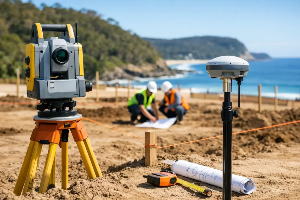
Construction Set-Out Central Coast Done Right
A slab that is 80 mm out of position, a retaining wall built beyond an easement, or a new home set too low for its approved floor level can create expensive problems long after concrete is poured. Construction set-out Central Coast projects need more than a few pegs in the ground. They need accurate control, clear communication and a surveyor who understands how approved plans translate to a real site.
For builders, owners and project managers, set-out is one of the key checks between design intent and construction reality. Done early and properly, it gives trades confidence to build in the correct location, at the correct level and within the approved footprint. Done poorly, it can lead to rework, disputes, approval issues and avoidable programme delays.
What construction set-out actually does
Construction set-out is the process of marking the design position of a proposed structure or civil element on site. Using survey control, approved plans and specialist equipment, a surveyor establishes the physical points and levels a builder needs to begin work accurately.
For a residential build, this may include the building footprint, grid lines, corners, excavation limits, pier locations and finished floor level. On a larger development, it may extend to roads, drainage, kerbs, retaining walls, services, car parks and multiple buildings.
The task sounds straightforward until the site introduces real-world variables. Plans may use coordinates, grid references or offsets that need to be interpreted correctly. Existing fences may not sit on legal boundaries. A sloping block may require several level controls. And a drawing revision issued after the first set-out can change a critical dimension.
That is why construction set-out should be treated as a controlled surveying process, not simply a marking exercise. The surveyor works from reliable reference marks and checks the proposed works against the approved documentation before transferring the design to the ground.
Why accuracy at set-out saves money later
Set-out is a relatively small component of a construction budget, but it influences work that is far more costly to correct. Once excavation, footings, concrete, framing and services are underway, even a modest positional error can multiply across the project.
A building positioned incorrectly may encroach on a boundary setback, easement or neighbouring land. A floor level that differs from the approved plans can affect drainage outcomes, flood planning requirements, accessibility and certification. Incorrect positioning of stormwater or sewer works can create clashes with other services and make future maintenance more difficult.
The consequences are not always immediate. A problem might only be identified during a final survey, occupation certificate process, sale, refinancing or future subdivision. At that point, rectification can involve redesign, legal advice, council discussions and substantial construction costs.
Accurate set-out also protects construction productivity. When builders, excavators, concreters and engineers are working from the same reliable marks, there is less time spent second-guessing dimensions or waiting for clarification. This is particularly valuable on tight residential sites in areas such as Terrigal, Wamberal, Gosford and Avoca Beach, where slopes, established homes and narrow access can leave little room for error.
The information a surveyor needs before attending site
A useful construction set-out begins before anyone arrives with a total station. The surveyor needs current, coordinated information so the marks reflect the design that has actually been approved for construction.
In most cases, this includes the latest architectural plans, engineering drawings where relevant, site or civil plans, and details of the nominated datum or benchmark. If there have been changes to the building footprint, levels, retaining walls or drainage design, those revisions must be identified clearly.
It is also essential to confirm that the legal boundary information is reliable. A fence, hedge or old peg should never be assumed to represent the title boundary. Where boundary position affects setbacks, building placement or excavation, a cadastral boundary mark-out may be required before the construction set-out proceeds.
For projects with development consent or a complying development certificate, the approved plans should be supplied rather than preliminary concept drawings. A set-out can only be as correct as the information provided. Where documents conflict, it is better to resolve the discrepancy before construction begins than to place marks based on assumptions.
How a professional set-out process works
The exact process depends on the project, but a well-managed set-out follows a clear sequence. First, the surveyor reviews the plans and confirms what needs to be marked. This avoids a common site issue: setting out a building shell when the builder also needs excavation limits, floor levels or retaining wall alignment.
Next, survey control is established or verified. This provides the fixed positional and level reference for all subsequent work. Modern Trimble equipment allows surveyors to place points with high precision, but technology does not replace professional judgement. Control must be suitable for the site and checked against the available survey information.
The design is then set out using offsets, profiles, pegs, nails, paint marks or other practical markers suited to the work. On a residential build, offset marks are often preferable to placing a peg exactly at a corner that will soon be disturbed by excavation. The marks are referenced clearly so the builder can maintain the alignment through each stage.
Finally, the surveyor communicates what has been set out and how it should be used. This may include a sketch, level information, coordinates or a record of marks left on site. Clear handover matters. A correct mark is of limited value if the team does not know whether it represents the face of wall, centreline, building corner, excavation limit or an offset.
Set-out is not a one-off event on every project
Some jobs require several survey attendances. Initial set-out may establish excavation and footing locations. A further visit can check slab formwork, steel columns or retaining wall placement. Final surveys may then confirm the completed building position and levels for certification or compliance purposes.
The right level of support depends on risk. A simple detached dwelling on a generous, level lot may need less ongoing set-out than a multi-dwelling development, waterfront site or steep block with complex drainage and retaining structures. The more constrained the site, the more valuable staged checks become.
Common set-out mistakes and how to avoid them
The most frequent problems are rarely caused by a single bad measurement. They usually arise from incomplete information, unverified boundaries or poor coordination between consultants and trades.
One common issue is working from superseded drawings. Builders should nominate one current construction issue and advise the surveyor immediately when revisions are released. Another is losing marks during excavation. Offset control, witness marks and a sensible re-establishment plan reduce the risk of starting again after machinery has cleared the site.
Level mistakes are equally serious. A benchmark may be disturbed, a temporary datum may be misunderstood, or different consultants may use different reference levels. Confirming the nominated datum at the start helps prevent a building being constructed too high or too low.
There is also a practical trade-off between speed and scope. A rapid attendance can be appropriate when plans are complete, control is available and the required marks are straightforward. But a rushed set-out is false economy if the boundary position, plans or levels remain unresolved. The best approach is to match the survey scope to the construction risk, not simply choose the shortest site visit.
When to book construction set-out on the Central Coast
Book the surveyor once the design is sufficiently finalised and before excavation, piering or formwork begins. Leaving it until machinery is already on site can put unnecessary pressure on the project and limit the time available to resolve plan discrepancies.
Early contact is especially helpful where a site has steep terrain, difficult access, existing structures close to the proposed works, waterfront constraints, bushfire-related design changes, easements or subdivision conditions. These projects often need survey input to be coordinated with architects, engineers, certifiers and builders rather than handled in isolation.
Central Coast Surveyors provides construction set-out as part of a broader surveying service, from the initial detail and contour survey through to final surveys and title registration where required. That continuity can reduce handover gaps, because the same surveying team understands the site data, boundary evidence and design history behind the project.
Before construction starts, make sure the team has one clear answer to three questions: where is the legal boundary, which approved drawings govern the work, and what level datum will every trade use? Getting those fundamentals right gives the build a far better chance of proceeding without the costly surprises that only appear once work is already in the ground.