
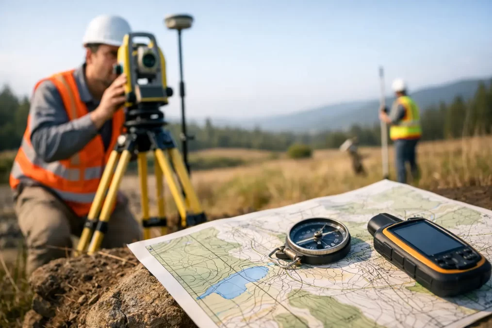
How to Prepare for a Topographic Survey
A topographic survey is often the first piece of reliable information your architect, builder or engineer needs. If you are asking how to prepare for topographic survey work, the aim is simple: give the surveyor safe, clear access to the site and the right project information before fieldwork begins. A little preparation can prevent a return visit, avoid missing detail and keep your design or approval programme moving.
For Central Coast sites, preparation matters even more. Sloping blocks, dense coastal vegetation, waterfront interfaces, older improvements and unclear boundary evidence can all affect the scope of a survey. The survey should record the land as it exists, not as it is assumed to be.
Confirm what the topographic survey needs to achieve
Before arranging site access, establish why the survey is being commissioned. A detail and contour survey for a new home may need existing buildings, levels, trees, driveways, retaining walls, services and visible drainage features. A survey supporting a subdivision, civil design or flood assessment may require wider coverage, adjoining road information or particular levels nominated by an engineer.
This is where early coordination pays off. Ask your architect, building designer, town planner or engineer whether they have a survey brief, CAD base requirements or a proposed building footprint. Providing this information before the survey starts helps ensure the fieldwork captures the details relevant to the next stage of the project.
A topographic survey is not automatically a boundary survey or identification survey. It may show apparent fences and occupation lines, but these do not necessarily represent legal title boundaries. If your project depends on a boundary position – for a new fence, building near a setback, encroachment concern, easement or building certificate – discuss whether cadastral boundary work or an identification survey is also required.
Provide the documents you already have
Your surveyor can often obtain title and deposited plan information where required, but sending through any documents you hold helps clarify the scope from the outset. This may include a recent rates notice, deposited plan, title search, old survey plan, building plans, development consent, engineering drawings or a previous identification report.
Older documents can be useful, but they should not be treated as proof of current conditions or legal boundaries. Fences move, structures are added and site levels can change through excavation, filling or landscaping. The registered surveyor will assess the available evidence and advise what can be relied on.
It is also worth identifying any information that is not obvious from the street. Tell the surveyor about underground rainwater tanks, on-site sewage systems, stormwater pits, retaining walls, pool equipment, wells, access restrictions or recent earthworks. These items may affect the survey scope, design decisions or site safety.
Make site access straightforward
The most practical preparation is to ensure the survey team can enter and move around the property safely. Arrange access with tenants, neighbours, site managers or strata representatives where needed. If there is a locked gate, provide the code or meet the surveyor on site. For vacant land, confirm which access point is suitable and whether a vehicle can reach it.
Clear manageable access to key areas where possible. Long grass, heavy vegetation, stacked materials and construction debris can conceal changes in level, drainage structures and retaining walls. There is no need to transform the property before the survey, but clearing a path to relevant corners, building edges and difficult terrain will improve efficiency.
On an active building site, advise the site supervisor that surveyors will be attending. Plant movements, open excavations, unstable surfaces and overhead work all need to be managed under the site’s safety arrangements. The survey team may need to work around construction activities, so a suitable time should be agreed in advance.
Do not remove survey marks or boundary evidence
Avoid moving pegs, marks, fencing or other physical evidence before the survey. Even an old-looking mark may assist a registered surveyor when assessing occupation and title information. If a mark has already been disturbed by earthworks or construction, say so. That detail can save time when interpreting the site.
Identify the areas that matter to your project
A topographic survey does not always need to cover every square metre of a large property. The required extent depends on the proposed works and the information needed by the design team. For example, a rear extension may need detailed levels across the house, backyard, side access and relevant road drainage, while a rural dwelling or subdivision can require much broader coverage.
Marking up a basic aerial image or sketch is often helpful. Show the proposed building area, access driveway, drainage path, retaining walls, pool location or any part of the land where development is being considered. This does not replace professional advice, but it gives the surveyor and other consultants a shared starting point.
Remember to consider the interface with the public road. Kerb levels, footpaths, driveways, stormwater pits, power poles and road grades can directly affect vehicle access, stormwater design and construction levels. On many Central Coast blocks, the relationship between the house site and the road is one of the most important design constraints.
Flag services, hazards and special site conditions
Visible services should be identified before the survey team arrives. Point out electrical connections, overhead wires, gas meters, water meters, sewer inspection openings, communications pits and solar equipment. A topographic survey commonly locates visible service features, but it does not determine the precise route or depth of underground services.
If excavation, piling or significant construction is planned, further service investigation may be necessary. Your builder, engineer or service locator can advise on the appropriate process. Treat assumed service locations with caution, particularly on older properties where records and visible features may not tell the full story.
Waterfront, bushland and steep sites need extra attention. Tidal conditions may affect access or the visibility of foreshore features. Dense vegetation can limit line of sight and may require additional field time. Steep terrain, unstable retaining walls or wet ground can affect the safe method of work. Raising these conditions during booking allows the surveyor to plan the right equipment and crew for the job.
Be clear about timing, not just the delivery date
Surveying is usually one of the first consultant tasks in a project, so it is worth booking before plans are locked in. Architects and engineers can make better decisions when they are working from current levels and site detail rather than estimates, screenshots or old drawings.
Tell the surveyor if your work is tied to a development application, construction start, property settlement or consultant meeting. A clear deadline helps with scheduling, but allow enough time for fieldwork, checking, drafting and any follow-up questions. Complex sites can take longer than a straightforward residential block, particularly where access is limited or additional boundary investigation is needed.
Also confirm the format required by the next consultant. Most design professionals need a scaled plan and digital file suitable for their software, while some approval pathways require particular information to be shown. Aligning deliverables early reduces the risk of paying for revisions later.
Keep communication open after the site visit
Once fieldwork is complete, the survey may prompt questions that are valuable rather than inconvenient. An unexpected fall across the site, a drainage feature, a retaining wall near a boundary or a difference between apparent occupation and title information can materially change the design approach.
Share the completed survey promptly with your architect, planner, engineer and builder. Each consultant will read it through a different lens, from setbacks and floor levels to stormwater, cut and fill, access and construction set-out. Early discussion is far cheaper than redesigning after approvals or after work has started on site.
Central Coast Surveyors can coordinate with your project team so the survey information is practical for design, approvals and construction, not simply a drawing filed away after the first meeting.
The best preparation is not about making a site look perfect. It is about giving your surveyor honest information, safe access and a clear understanding of what comes next. That lets the site conditions guide sound decisions before they become costly constraints on the ground.