
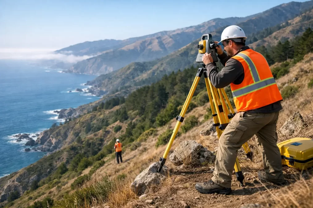
Surveying Steep Central Coast Sites Properly
A block can look manageable from the street, then fall away sharply behind the house line. On the Central Coast, that change in level can affect nearly every design and construction decision. Surveying steep Central Coast sites is not simply a matter of collecting more spot levels. It means producing reliable terrain, boundary and feature information that lets the architect, engineer, builder and owner make decisions before costly assumptions become fixed on paper or on site.
For sloping coastal, bushland and escarpment-adjacent properties, the survey is often the first practical test of what the site can accommodate. A well-scoped survey gives the project team a clear starting point for building position, access, drainage, retaining walls, excavation, floor levels and compliance work.
Why steep sites need more than a basic contour plan
A contour plan is useful only when it accurately represents the ground that matters to the project. On a steep site, small horizontal or vertical errors can materially change cut and fill estimates, the height of a retaining wall, driveway grades, stormwater paths or whether a proposed floor level works with the surrounding land.
The survey needs to capture breaks in slope, benches, rock outcrops, retaining walls, drains, stairs, driveways, kerbs, visible services, mature trees where required, buildings and adjoining features that influence design. A few widely spaced levels may describe an open paddock adequately, but they rarely provide enough definition around a steep residential building envelope.
This is particularly relevant where a site drops towards a creek, reserve, waterfront or neighbouring property. Water does not follow an assumed contour. It follows the real ground. Accurate levels help civil and structural engineers assess runoff paths and design drainage solutions that suit the land rather than create a problem downhill.
Existing structures can complicate the picture
Many Central Coast slopes have been progressively developed over decades. There may be older retaining walls, sheds, decks, pools, informal paths and extensions that are not shown clearly on available plans. Some structures can obscure sightlines or create difficult access, while others may affect the feasibility of new work.
A detailed feature survey records the existing conditions so the design team is working from current evidence. Where a proposal is close to boundaries or existing buildings, it may also be sensible to obtain an identification survey or boundary mark-out rather than relying on fences, landscaping or assumptions about where the title boundary sits.
Start with the question the survey must answer
The right survey scope depends on the next project decision. Owners planning a new home, architects testing a concept, builders pricing construction and developers preparing a subdivision each need different information. Ordering a generic survey without explaining the intended use can lead to missing data, revisions and avoidable delays.
For an early design stage, a topographical survey generally establishes the landform and existing features. The survey can be tailored to show a nominated area, proposed access route or likely building footprint, along with enough surrounding information to understand how the work relates to the site.
If title boundaries are critical, cadastral work may be needed as part of the brief. This involves assessing the legal boundary position from title information and survey evidence, rather than treating an existing fence as proof. On steep land, boundary evidence can be difficult to locate, disturbed by past works or positioned in dense vegetation. That is a job for a registered surveyor, particularly where a design, fence, retaining wall or building is proposed near a boundary.
For construction, the focus shifts again. The builder may need precise set-out of building corners, gridlines, retaining walls, excavation limits and design levels. The same project may then require an as-built or final survey to confirm completed works, support certification or prepare plans for registration.
The practical constraints of steep terrain
Steep terrain creates fieldwork challenges that should be considered before the team arrives on site. Dense vegetation, loose ground, long access paths, unstable cuttings, limited parking and locked side access can all affect the safest and most efficient way to complete a survey.
Modern equipment, including Trimble GNSS and total station technology, helps surveyors efficiently measure difficult sites. However, technology does not remove the need for professional judgement. Satellite positioning can be affected beneath a dense tree canopy, and a total station still requires suitable lines of sight. On some properties, a combination of methods is the most reliable approach.
Good preparation makes a real difference. Providing safe access, advising of dogs or locked gates, identifying known hazards and making available any existing plans can reduce lost time. If an area cannot safely be accessed, the surveyor needs to know early so the project team can decide whether another method, vegetation clearance or a revised design approach is appropriate.
Accuracy is not the same as over-surveying
There is a balance to strike. A survey should be sufficiently detailed for the project, but collecting information outside the design area can add cost without changing a decision. Conversely, reducing the survey extent too aggressively can be false economy if an engineer later needs levels beyond the original capture area for drainage, access or retaining design.
The best approach is to consider the likely scope of work, not just the immediate drawing. For example, an architect designing a dwelling on a sloping lot may need levels beyond the house footprint to resolve vehicle access and drainage. A registered surveyor can help define an efficient survey extent before fieldwork begins.
Design decisions that rely on reliable levels
On a steep site, the difference between a workable concept and an expensive redesign often comes down to setting the building into the ground intelligently. Accurate survey information allows designers to compare floor level options, assess the relationship to access and understand where excavation or retaining may be required.
Driveways deserve particular attention. Their gradient, transition points and connection to the road can influence the location of the home as much as views or orientation. A proposed driveway that looks straightforward in a concept sketch may be too steep, require extensive retaining, or create drainage issues once surveyed levels are applied.
Existing floor levels also matter for additions and secondary dwellings. A floor level report or detailed survey can provide the information needed to connect new works to an existing structure, assess drainage relationships and communicate design intent clearly between consultants.
For waterfront or foreshore-adjacent properties, the survey brief may need to include features relevant to a licence transfer, access arrangement or proposed works. These sites often combine steep topography with constrained access and sensitive boundaries, so early coordination is especially valuable.
Keep survey data moving through the project team
A survey is most valuable when it is easy for other consultants to use. Architects may require a CAD base file for design, engineers may need a digital terrain model or specific coordinate information, and builders need unambiguous set-out documentation. Agreeing the deliverables early prevents incompatible files and repeated requests for information.
Clear communication also matters when the design changes. Moving a building footprint down a slope, adding a retaining wall or changing driveway access can create a need for additional survey work. Raising this early is preferable to setting out a design based on incomplete information.
Central Coast Surveyors works with property owners and project consultants from initial site measurement through construction set-out, final surveys and, where required, plan registration. This continuity can reduce handover gaps on projects where terrain, boundaries and approval requirements are closely connected.
Common shortcuts that create expensive problems
The most common issue is designing from old plans, online mapping or assumed contours. These sources may be useful for an early conversation, but they are not a substitute for a current survey prepared for a specific project. Ground levels change through excavation, landscaping, retaining works and construction, while mapped boundary lines are not legal boundary confirmation.
Another shortcut is treating a fence as the boundary. Fences can be offset, rebuilt in a convenient location or erected without a survey. This becomes a serious issue when placing a structure close to the line, resolving a neighbour dispute or preparing subdivision documentation.
A third problem is leaving the survey until after a concept is substantially developed. By then, the design may have been shaped around an unsuitable floor level, access point or building location. Early survey input does not guarantee a particular approval outcome, but it gives the project team a factual basis for making choices before they become expensive to change.
What to provide when requesting a steep-site survey
An efficient enquiry should explain the property address, intended works, whether boundaries are relevant, the areas to be surveyed and the deliverables required by the architect, engineer, council or builder. Include any available plans, photos and information about access constraints. If the project involves a building certificate, subdivision, easement, waterfront matter or boundary concern, say so at the outset.
A registered surveyor can then assess whether the job calls for a topographical survey, identification survey, boundary mark-out, set-out work or a combination of services. That early assessment is where the right scope is established, helping the project proceed with accurate information rather than optimistic guesswork.
On steep land, good decisions begin before the first line is drawn. Give the design team a survey that reflects the site as it actually is, and the options for building, draining and accessing it become far clearer.