
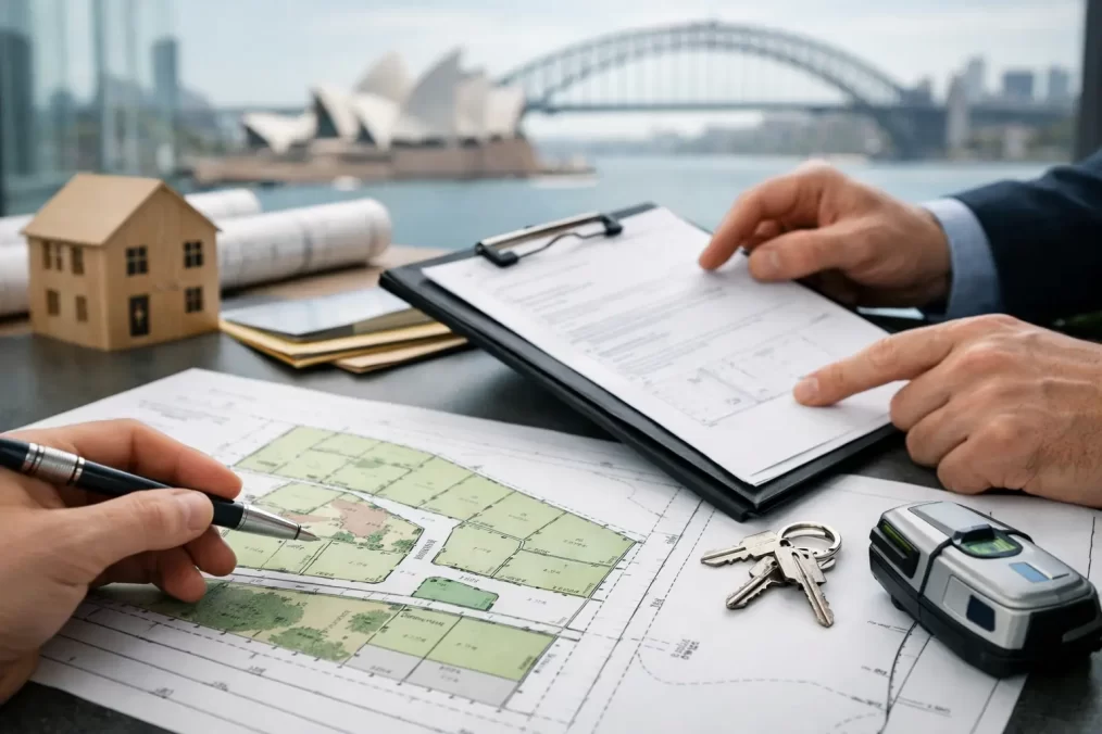
How to Lodge Subdivision Plans in NSW Correctly
A subdivision can have development consent, completed civil works and buyers waiting, yet still be unable to settle until the plan is correctly lodged and registered. Knowing how to lodge subdivision plans means understanding that the final plan is not simply sent to council. In NSW, it must satisfy your consent conditions, accurately reflect the legal boundaries on the ground, receive the required certification and be lodged electronically with NSW Land Registry Services.
For Central Coast projects, the fastest path is usually one where the registered surveyor, planner, civil engineer, certifier, council and conveyancer are working from the same information well before the final survey begins. Late changes to road widths, easements, lot numbering or service locations can hold up registration and add avoidable cost.
How to lodge subdivision plans in NSW
The exact process depends on whether you are creating a Torrens title subdivision, strata plan, community title scheme, easement or boundary adjustment. However, most land subdivisions follow a similar sequence: obtain the necessary approval, complete the final survey, prepare the legal plan and supporting documents, secure the subdivision certificate, then lodge through an approved electronic lodgement network.
A registered surveyor leads the survey and plan preparation components. Your conveyancer or solicitor generally manages title dealings, settlement requirements and electronic lodgement arrangements. On larger projects, the planner and civil engineer also have a major role in clearing consent conditions.
1. Start with the development consent and subdivision conditions
Before a final plan is prepared, read the conditions of development consent closely. These conditions set the rules for the subdivision and often require more than a new boundary line on a plan. They may address minimum lot sizes, access, drainage, road dedication, utility connections, vegetation, public open space, restrictions on use, easements and the timing of physical works.
Some conditions must be met before a subdivision certificate can be issued. Others require evidence from council, a private certifier, service authorities or other agencies. If a condition calls for an easement for drainage, access or services, the plan and the associated legal instrument must be designed to achieve precisely that outcome.
This is where early coordination pays off. A proposed lot layout that looked straightforward during the design stage may need adjustment once final levels, built works, existing services or title boundaries are confirmed. Addressing those matters before documents are circulated for signature is much more efficient than correcting a plan already under assessment.
2. Complete the final cadastral survey
The final survey determines the boundaries that will appear on the registered plan. It is a legal survey, not a conceptual design drawing. A registered surveyor investigates title records and surrounding survey information, locates existing marks, measures the site, reinstates or verifies boundaries where required, and calculates the new parcel dimensions and areas.
The surveyor must also ensure the proposal can be marked on the ground in accordance with NSW surveying requirements. If new boundaries conflict with an existing building, retaining wall, encroachment, driveway or service asset, the issue must be resolved before registration. A plan cannot simply ignore a physical constraint because it is inconvenient.
For subdivisions involving new roads or drainage, the survey must align with the approved engineering design and constructed works. For a small two-lot subdivision, the key issue might be an access handle or sewer easement. For a multi-lot estate, it may be the precise relationship between roads, reserves, drainage corridors and staged development boundaries.
3. Prepare the plan and any supporting legal instruments
Once the survey is complete, the registered surveyor prepares the subdivision plan in the format required for NSW registration. This can include the plan drawing, administration sheets and survey information needed to support the legal definition of the new lots.
Many subdivisions also need an accompanying instrument. A commonly used document is a section 88B instrument, which can create easements, restrictions on use of land and positive covenants. These provisions are not administrative extras. They affect how land can be used, maintained, accessed and developed after registration.
For example, a drainage easement needs suitable dimensions and a clear purpose. A restriction may control building envelopes, maintenance obligations or access arrangements. The wording should match the approved development and be reviewed by the relevant legal and technical advisers. An easement placed in the wrong location, or drafted without considering the infrastructure it protects, can create a long-term problem for every future owner.
Strata and community title subdivisions have additional requirements. They may involve common property, by-laws, development contracts, management statements or staged scheme documentation. The principle remains the same: resolve the legal structure and physical survey together, rather than treating registration as a final paperwork exercise.
4. Obtain the subdivision certificate
A plan cannot be registered until the appropriate certifying authority issues a subdivision certificate. Depending on the project, this may be council or an accredited certifier authorised to issue the certificate. The certifier checks whether the relevant consent conditions have been satisfied and whether the plan is suitable for certification.
The documents required vary by project, but commonly include the final plan, evidence that works have been completed or appropriately secured, service authority approvals, relevant compliance certificates and supporting documents for easements or restrictions. Council rates, contributions and development charges may also need to be finalised.
Do not leave this step until the end of a sale campaign. A missing works-as-executed plan, unregistered easement, outstanding contribution or incomplete service connection can delay the certificate. If the plan is needed for settlement, those delays can flow directly into finance costs, contract extensions and frustrated purchasers.
A practical approach is to create a conditions register early in the job. List every condition, nominate who is responsible for it, identify the evidence required and track its status. This is particularly useful where multiple consultants are involved or where works are delivered in stages.
5. Lodge electronically with NSW Land Registry Services
After the subdivision certificate is signed, the registered plan and associated dealings are lodged electronically with NSW Land Registry Services through an approved electronic lodgement network. The parties involved must ensure the correct documents, certifications, signatures and supporting evidence are included.
The registered surveyor is responsible for the survey plan and its technical compliance. The conveyancer or solicitor usually handles the electronic workspace, title dealings, mortgagee consents and settlement-related requirements. Where land is mortgaged, the lender’s consent and participation can be critical. A plan may be ready, but registration can still wait if the mortgagee documentation is not in order.
NSW Land Registry Services examines the lodged plan and documents. If a requisition is raised, the relevant party must respond before registration can proceed. Requisitions can arise from inconsistencies between the plan and supporting documents, missing consents, title issues, errors in easement details or technical survey matters.
A thorough pre-lodgement review reduces this risk. Check that lot numbers are consistent across the plan, consent, certificate, contracts and legal instruments. Confirm that all intended easements are shown and that the parties who need to sign have done so. Make sure the final plan reflects the development actually approved and constructed.
6. Registration creates the new legal parcels
Registration is the point at which the new lots, roads, easements or common property become part of the NSW land title system. NSW Land Registry Services creates the new folios of the Register, subject to any interests recorded on title. Only then can separate titles generally be dealt with, transferred or settled as intended.
That distinction matters for owners and developers. Council approval authorises a development outcome, while registration gives legal effect to the new land parcels. Both are essential, but they are separate milestones managed through different processes.
Common causes of subdivision plan delays
Most registration delays are preventable, but they usually start well before lodgement. The recurring causes are incomplete consent conditions, late changes to the approved layout, easements not coordinated with engineering, unresolved mortgagee requirements, missing signatures and discrepancies between documents.
Boundary complications can also surface on older properties. Missing survey marks, historic occupation that does not match the title boundary, informal access arrangements and structures near proposed boundaries all need careful assessment. They do not always stop a subdivision, but they should be investigated early enough to allow for a practical solution.
Timing is another factor. A simple boundary adjustment may move from survey to registration relatively quickly once approvals are in place. A residential subdivision with civil works, contributions, service approvals and several easements will take longer. The right programme depends on the approval pathway, site complexity and how promptly each party provides information and signs documents.
Keeping the process moving
The best way to avoid a last-minute scramble is to appoint the surveyor early and keep the project team connected. Provide the current title documents, development consent, approved plans, engineering drawings and any relevant service information at the outset. If the layout changes, notify the surveyor before work is built or contracts are prepared.
At Central Coast Surveyors, our registered surveyors can coordinate the final survey and subdivision plan work with your planner, engineer, certifier and legal representatives, helping identify registration issues while they are still straightforward to resolve. A properly planned lodgement is not just a compliance task – it is what turns an approved subdivision into land that can be sold, financed and built on with confidence.