
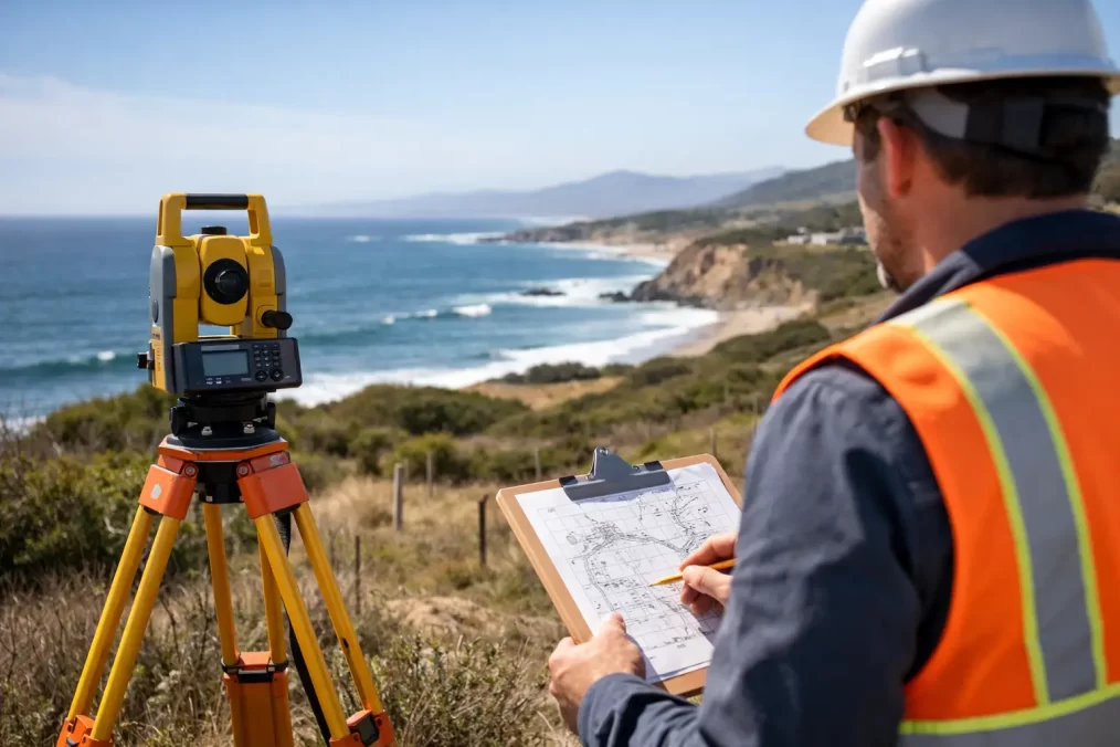
How Long Does a Survey Take on the Central Coast?
A builder is ready to set out, an architect needs levels for a design, or a property sale has raised a boundary question. At that point, the practical question is: how long does a survey take? The answer depends on the type of survey, the property’s history and whether the work needs to support a council, construction or NSW Land Registry Services process.
On-site time is only one part of the job. A reliable survey also requires research, precise field measurements, calculations, and plan preparation, and it requires a registered surveyor; the survey is produced by someone trained to understand land, measurement, title, and statutory requirements, not just field capture. That distinction matters when the data will influence approvals, construction setting out and later registration work. certification. Understanding what goes into the final plan helps you allow enough time in your project programme and avoid expensive hold-ups later.
How long does a survey take from booking to plan?
For many residential jobs, the fieldwork may take from a few hours to a full day. The complete process, from instruction to receiving a usable plan, commonly takes several business days. More complex sites, title investigations, subdivisions and work requiring lodgement can take significantly longer.
A straightforward detail and contour survey of an accessible suburban block may be measured in half a day and delivered promptly once processing and drafting are complete. An identification survey, where the surveyor must investigate title boundaries and locate structures in relation to them, often needs more office-based research and checking than clients expect.
For subdivision, easement or strata work, the timeframe is usually measured in weeks or months rather than days. Surveying is one part of a larger approval and registration pathway involving planners, engineers, council, certifiers, solicitors and NSW Land Registry Services. The right survey information at the start can keep that pathway moving, but no surveyor can responsibly promise the timing of every external approval.
The survey type makes the biggest difference
Different surveys answer different questions. Choosing the right one early prevents a common problem: paying for a plan that does not provide the information your designer, builder, council or conveyancer actually needs.
Detail and contour surveys
A detail and contour survey records the existing features and levels of a site. It may show buildings, fences, driveways, retaining walls, trees, services visible on site, kerbs, drainage features and ground contours. Architects, building designers, town planners and engineers use it as the base information for design.
On a clear, accessible residential site, measurement can often be completed within a day. Processing the data into a coordinated, accurate plan then takes additional time. Sloping blocks, dense vegetation, waterfront land, larger acreage and difficult access naturally increase the field component.
Identification surveys
An identification survey is commonly needed for a council building certificate, a property transaction, a waterfront licence transfer or to confirm whether buildings and improvements sit within title boundaries. It is not simply a quick check of a fence line.
The surveyor reviews title information and relevant records, searches for existing marks and evidence, measures improvements, and prepares a plan that identifies any encroachments or issues requiring attention. A site visit may be relatively short, but the research and professional assessment are critical. If original marks are missing, buried or disturbed, further investigation may be needed.
Boundary mark-outs
A boundary mark-out establishes or re-establishes the position of a legal boundary on the ground. This is often requested before fencing, building close to a boundary, resolving uncertainty with a neighbour or planning a new structure.
Timing depends heavily on whether reliable survey marks can be found and verified. Older Central Coast properties, irregular lots, bush blocks and land with a long history of alterations can require more investigation than a newer estate. A registered surveyor must apply cadastral evidence correctly, rather than relying on occupation lines, old pegs or online mapping.
Construction set-out surveys
Construction set-out is usually scheduled around the builder’s programme. Once approved design information is supplied and the site is ready, a set-out can often be arranged efficiently. The work may include locating building corners, grids, excavation lines, retaining walls, roads, drainage or service works.
The key timing risk is late information. Changes to architectural or engineering drawings after set-out can mean rework on site. Providing final, coordinated plans before the survey is booked gives the construction team the best chance of staying on programme.
Floor level reports
Floor level reports generally involve measuring existing finished floor levels and relating them to an appropriate datum. They can support design decisions, flood planning, renovation work and approval documentation.
The site measurement may be completed quickly for an accessible dwelling. Delivery time will depend on the number of structures, the reporting requirements and whether additional level or boundary information is required alongside the report.
Subdivisions, strata plans and easements
Subdivisions and easement plans require careful cadastral work, plan preparation and a sequence of approvals and certifications. A Torrens title subdivision may also involve development consent, civil works, subdivision certificates, statutory certifications and plan registration. Strata and community title projects have their own documentation and coordination requirements.
The surveyor’s component should start early, often while the project is being designed. Waiting until construction is nearly complete can expose title, boundary, easement or compliance issues when there is least time to resolve them.
What can make a survey take longer?
A professional survey timeline is shaped by the evidence available, the site conditions and the intended use of the plan. Fast turnaround is valuable, but accuracy and compliance cannot be rushed.
Delays are more likely where boundaries are poorly defined, original marks cannot be readily located, access is restricted or the property has challenging terrain. Heavy vegetation, steep land, water frontage, extensive structures and large rural holdings all require more measurement and checking.
Documentation also matters. Older titles, complicated easements, prior subdivisions and inconsistencies between occupation and title boundaries may require a deeper records review. A fence is not proof of ownership, and a wall that has stood in the same place for decades is not automatically on the legal boundary.
Weather can affect some fieldwork, particularly where visibility, safety or ground access is compromised. Construction projects can also be delayed when the site is not ready, survey control has been disturbed, or other trades are working through the area that needs to be measured.
How to help your survey proceed without avoidable delays
The clearest instruction produces the best result. At the quoting stage, explain what you are planning and who needs the survey. A plan for an architect has different requirements from one needed for a building certificate, a fence dispute or title registration.
Before the site visit, provide the property address, lot and deposited plan details if available, recent plans, architectural drawings, engineering drawings, council correspondence and any information about known boundary marks. If a builder, designer or planner is involved, confirm the format and information they need from the final plan.
Access is equally important. Arrange entry to the entire property, including side yards, rear areas, under-house spaces and any locked gates. Let neighbours know if access to a shared boundary area may be needed. Move vehicles, stored materials or temporary site items where practical, and advise the surveyor of hazards such as dogs, steep banks or unprotected excavations.
For construction work, issue the latest approved drawings and confirm that design changes have been finalised. For boundary work, avoid moving suspected survey marks or starting fencing and excavation near the boundary until the survey is complete.
Why the fastest site visit is not always the fastest project outcome
It can be tempting to compare survey quotes only by the promised turnaround. However, a plan that lacks critical levels, misses relevant structures or is unsuitable for its intended approval purpose can create a much larger delay down the track.
A registered land surveyor brings the qualifications, competency and legal understanding needed for cadastral work, as well as the practical experience to identify issues before they become site problems. Modern Trimble equipment supports efficient, accurate measurement, but the equipment does not replace the professional judgement required to interpret evidence, certify plans and coordinate with the wider consultant team.
For homeowners, that may mean certainty before building a fence or purchasing a property with a questionable structure near the boundary. For architects, builders and developers, it means survey data that is fit for design, construction and compliance rather than needing to be redone mid-project.
Allow survey time before it becomes urgent
The best time to arrange a survey is usually before a design, approval, purchase or construction deadline makes it urgent. If you need a detail survey, boundary advice, identification plan, set-out or subdivision support on the Central Coast, provide the project purpose and deadline at the outset. That allows the survey scope, access requirements and delivery sequence to be planned properly – giving every other consultant a more dependable starting point.