
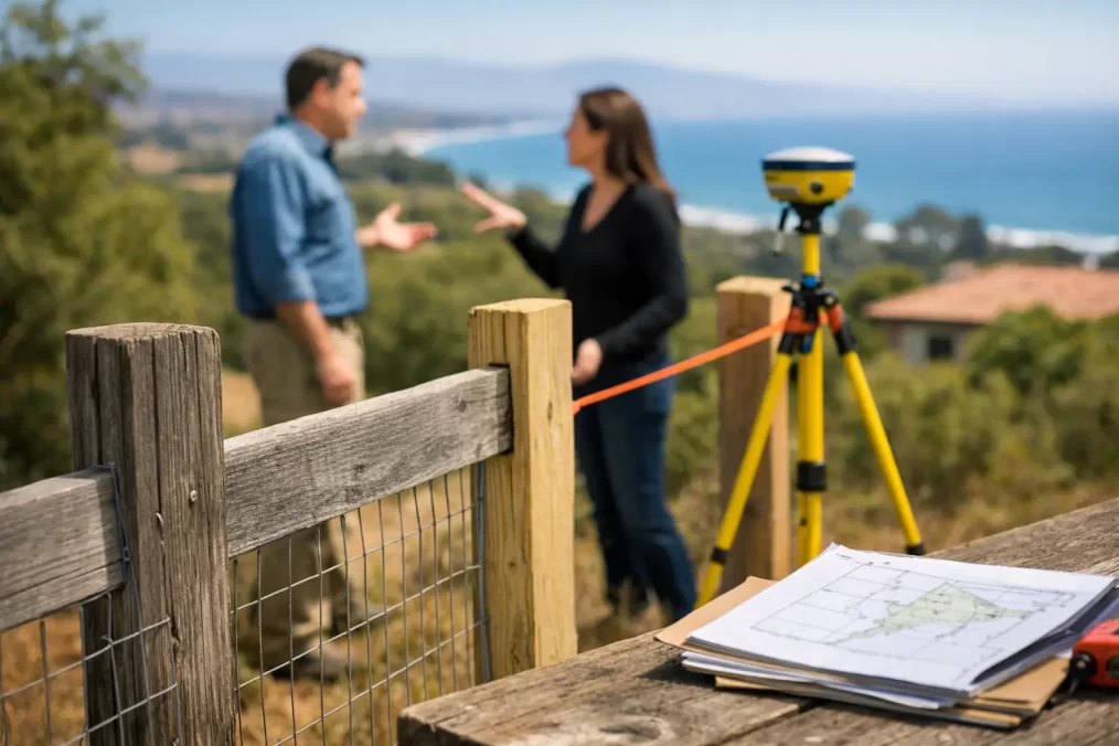
Boundary Issues on Established Central Coast Properties
A fence that has stood for 40 years, a garden bed maintained by the same family, or a neighbour’s driveway that appears to sit comfortably in place can all create a false sense of certainty. Boundary issues on established Central Coast properties often come to light only when someone plans a new build, sells, subdivides, replaces a fence or receives a concern from a neighbour. By then, the cost of getting it wrong can be far greater than the cost of confirming the boundary early.
On older residential, rural and waterfront sites, visible occupation and the legal property boundary are not always the same thing. A registered surveyor can investigate the title, relevant survey records and physical evidence on site to determine where the boundary is located and whether structures or improvements create a problem worth addressing.
Why established properties can have boundary uncertainty
Many Central Coast properties have changed hands several times and been altered gradually. Fences are rebuilt, retaining walls are added, garages are extended and landscaping creeps towards a side boundary. In some cases, the original survey marks are no longer visible because of roadworks, excavation, dense vegetation or later construction.
A fence is not proof of a legal boundary. It may have been built for convenience, placed inside the boundary to avoid a dispute, or set out without reliable survey information decades ago. The same applies to hedges, concrete paths, pool fencing, sheds and old retaining walls. They show occupation, not necessarily title position.
Local conditions can add complexity. Sloping blocks in areas such as Terrigal, Wamberal, Avoca Beach and Saratoga may have retaining walls and stepped fences that obscure original evidence. Larger rural holdings can have long, ageing fence lines, creeks, bushland and limited access. Waterfront land may involve additional considerations around foreshore boundaries, licences or encroachments near Crown land.
Common boundary issues on established Central Coast properties
The most common issue is an encroaching fence. This may be a fence that sits partly over the line, leaves a strip of land on the wrong side, or changes direction near the rear of the block. It can be minor in practical terms, but still matter when a purchaser, lender, builder or adjoining owner needs certainty.
Buildings and structures can create more urgent concerns. A carport, shed, deck, retaining wall, eave, pool coping or driveway may extend beyond the title boundary. A structure built close to a boundary may also raise questions about whether it complies with approved plans, setback requirements or easements. The surveyor’s role is to establish the cadastral facts accurately. Advice on legal rights, building approval or dispute resolution may then require a solicitor, certifier, council or other specialist.
Easements are another regular source of confusion. A registered easement for drainage, access, services or support can affect where and how land may be built on. An easement does not always look obvious on site, particularly where pipes are underground or an access route is no longer visibly used. Building over, obstructing or altering land affected by an easement without proper investigation can cause approval delays and expensive redesign.
There are also cases where the title dimensions do not appear to match what is occupied. This does not automatically mean land has been lost or gained. Older plans may use different reference information, and a proper boundary determination involves more than measuring a tape distance between fences. A registered surveyor applies the legal principles and evidence required to re-establish the boundary position.
When to arrange a boundary survey
The right time is before a decision becomes expensive. If you are planning a new boundary fence, garage, pool, extension, retaining wall or driveway close to a property line, a cadastral boundary mark-out can give your designer and builder reliable information before work begins.
It is also sensible to investigate when buying or selling an older property where fences, structures or access arrangements look unusual. An identification survey may be required for a council building certificate or a waterfront licence transfer, and it can identify whether improvements encroach on boundaries or easements. It is far easier to understand the position before contracts are exchanged or construction is underway.
A neighbour raising a concern does not necessarily mean there is a serious issue, but it should not be dismissed on assumptions. Early, factual information often keeps a practical conversation from becoming a drawn-out dispute. Equally, if you are replacing a shared fence, a boundary survey may not be needed in every case. It depends on the age of the property, the clarity of existing marks, the proposed fence location and whether either owner has doubts about the line.
What a registered surveyor actually does
Boundary work is a legal and technical process, not simply a matter of locating pegs with a GPS device. A registered surveyor examines title information, deposited plans, previous survey records and available survey marks. They then conduct fieldwork to locate physical evidence and make the measurements needed to re-establish the boundary in accordance with NSW surveying requirements.
Modern Trimble equipment improves field efficiency and measurement precision, but technology does not replace professional judgement. On an established site, the surveyor must assess the reliability of old marks, compare evidence across adjoining land where necessary, and resolve differences between physical occupation and the title boundary.
Once the boundary has been determined, marks may be placed or reinstated where practical. The surveyor can also prepare a plan or report showing the relationship between boundaries, easements and visible improvements. The appropriate deliverable depends on the purpose. A builder setting out a new wall needs different information from an owner seeking an identification survey for a building certificate.
Avoid assumptions that can create costly problems
A few common shortcuts regularly cause avoidable trouble. Using an online mapping image, relying on a real estate plan, measuring from a kerb or accepting a neighbour’s estimate may be useful for broad planning, but none establishes a legal boundary. Mapping imagery can be offset, sales plans are usually indicative, and kerbs or fences may not relate to title lines.
Another mistake is building first and checking later. A new fence may be relatively easy to relocate. A masonry retaining wall, pool or extension is not. Where construction is near a boundary, the survey should be completed early enough for the architect, engineer and builder to respond to the actual site constraints.
Property owners should also avoid moving or removing existing survey marks. Even an old-looking mark can be significant evidence. If excavation or construction is likely to disturb marks, speak with a registered surveyor before work starts. Protecting the evidence can save time during the survey and reduce the risk of later uncertainty.
A practical way to move forward
Start by gathering what you already have: a current title search, deposited plan, past survey plans, building approvals and any correspondence about fences or access. These documents may help the surveyor understand the site history, although they do not replace field investigation.
Be clear about the decision you need to make. Are you planning to build near a boundary, settle a fencing question, satisfy a council requirement, sell the property or investigate a suspected encroachment? A concise brief helps the surveyor recommend the right service rather than producing information that does not suit the project.
If there is an adjoining owner involved, keeping communication calm and factual is usually worthwhile. A survey can clarify the physical position of the boundary, but it may not by itself settle every question about responsibility, access or compensation. Where a significant encroachment or disagreement exists, obtain legal advice alongside the surveying work.
Central Coast Surveyors provides cadastral boundary mark-outs, identification surveys and related survey services for established residential, rural and development sites. A registered surveyor can assess the evidence relevant to your land and provide clear information for the next step.
The best outcome is not simply finding a peg. It is being able to proceed with a fence, sale, approval or construction decision knowing the boundary information has been properly established before the stakes become higher.