
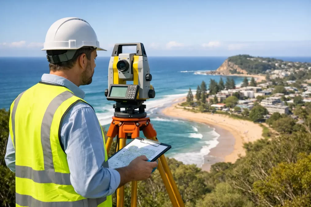
Surveyors Central Coast for Property Projects
A boundary question can stop a fence, a missing level can hold up a design, and an incomplete plan can delay a subdivision at the point where time matters most. When property owners search for surveyors Central Coast, they are usually not looking for a drawing alone. They need reliable information that allows a purchase, approval, construction job or title matter to move forward with confidence.
The right survey depends on the decision in front of you. A homeowner planning an extension needs different information from a builder setting out a new dwelling, while a developer creating new lots needs a registered surveyor who can manage the process through to plan registration. Knowing the difference early helps avoid duplicate work, consultant delays and costly changes on site.
What Central Coast surveyors do for a project
Land surveying turns the physical site, title information and design intent into accurate data that can be used for decisions and construction. On the Central Coast, that work often involves more than locating a few visible pegs. Sloping blocks, bushland, older subdivisions, waterfront land, narrow access and established buildings can all affect what needs to be measured and checked.
A surveyor may be engaged at the very start, before an architect or designer begins. They may return during construction to position a building accurately, then complete final work required for a title, strata plan or authority process. Using one capable surveying team across these stages creates continuity: the underlying control, site knowledge and project records are already in place.
For matters affecting property boundaries, new titles and legal plans, a registered surveyor is essential. Registration reflects the qualifications, practical competency and professional responsibility required for cadastral surveying in NSW. It is particularly important where a survey may affect ownership, easements, subdivision or a disagreement about where land begins and ends.
Start with the decision you need to make
The most useful question is not simply, “What does a survey cost?” It is, “What must this survey allow us to do next?” That next step determines the scope, timing and level of detail required.
Designing a house, extension or development
A detail and contour survey, often called a topographical survey, records the features and levels that influence design. This can include buildings, driveways, fences, trees, retaining walls, service features, visible drainage elements and changes in ground level. Designers use it to position a building, plan access, assess stormwater paths and respond to site constraints.
For a steep site in areas such as Terrigal, Avoca Beach or Wamberal, accurate levels can substantially affect excavation, retaining, drainage and building design. On a more level suburban block, the same survey can still prevent avoidable redesign by identifying existing structures, surface levels and apparent site conditions before plans are advanced.
A topographical survey is not automatically a boundary survey. If setbacks, encroachments or a proposed building location depend on the true title boundary, ask whether cadastral boundary work is also required. Assuming a fence is on the boundary is one of the most common and expensive mistakes in residential projects.
Buying, selling or dealing with an existing building
An identification survey is often required for a council building certificate application and can be relevant where the location of improvements needs to be established against title boundaries. It identifies the property and generally shows buildings and other relevant structures in relation to the boundaries.
This can reveal issues that are difficult to assess from a contract plan or visual inspection alone, such as a structure close to a boundary, an apparent encroachment, or differences between built conditions and available records. It does not necessarily mean there is a problem, but it gives owners and advisers a sound basis to address one before a transaction or approval process becomes more complicated.
Waterfront properties may also require surveying information for licence transfers or related tenure matters. These sites can involve additional interfaces between private land, physical improvements and adjoining waterway areas, so the survey brief should be discussed before work begins.
Building, fencing or retaining work
A boundary mark-out establishes or marks the position of title boundaries on the ground. This is valuable before fencing, retaining walls, garages, additions or other work near a boundary. It is especially worthwhile where original marks are not visible, a block is irregular, neighbouring fencing does not align, or there is uncertainty between owners.
For construction, a building set-out transfers approved design positions from plans onto the site. A surveyor can set out building corners, grids, offsets, levels and other critical points so the construction team has clear references to work from. The benefit is practical: errors are far cheaper to correct before concrete is poured or framing is underway.
Set-out should be coordinated with the builder, engineer and project manager. The required points, tolerances and timing vary between a new dwelling, commercial building, civil works and a small addition. A clear scope avoids turning up to site only to find that the plans, access or benchmarks needed for the work are not ready.
Subdivision requires more than a plan
Subdivision is a staged process involving survey, planning, servicing, approvals and registration. Whether the outcome is Torrens title lots, a strata scheme or a community title arrangement, the surveying work must support the legal creation of the new interests as well as the physical development.
A registered surveyor can prepare the cadastral plans needed for subdivision and work alongside town planners, civil engineers, architects, solicitors and certifiers. Depending on the project, work may include an initial survey, proposed lot design support, easement creation, boundary definition, final plan preparation and lodgement processes with NSW Land Registry Services.
There are trade-offs to manage. Starting survey work early can identify constraints before a layout is locked in, but the final survey cannot be completed until relevant works and approval conditions are sufficiently advanced. Changes to road layouts, drainage, retaining, building footprints or service corridors can affect easements and final titles. Good coordination keeps those changes visible before they become registration delays.
Why local site knowledge matters
Survey accuracy is non-negotiable, but project efficiency also depends on understanding how local conditions affect fieldwork and approvals. Coastal exposure, dense vegetation, difficult access, older title patterns and varied topography can change the time required to establish survey control and collect reliable data.
Local knowledge is also valuable when survey information needs to be handed to other consultants. An architect needs usable levels and feature data. A civil engineer needs dependable existing-condition information. A builder needs set-out references that make sense on site. A property owner needs plain language about what the survey shows and what should happen next.
Central Coast Surveyors uses modern Trimble surveying technology alongside registered expertise to produce clear information for these different users. Technology improves efficiency in the field, but it does not replace professional judgement. Records must be assessed, marks investigated, measurements checked and plans prepared for the purpose they are intended to serve.
How to get a useful quote and avoid delays
The fastest way to obtain an accurate survey proposal is to explain the project outcome, not just the survey name. Provide the site address, available plans or sketches, the purpose of the work, any relevant approval deadline and contact details for the architect, builder or planner if they are already engaged.
It also helps to mention access constraints, locked gates, dogs, heavy vegetation, waterfront access, active construction or known boundary concerns. These details allow the surveyor to allow appropriate time and equipment from the outset.
Before engaging, confirm what the deliverable will include and who needs to use it. For example, a designer may need a digital drawing in a particular format, while a boundary matter may require marks to be placed on site and a plan suitable for the relevant process. If council, a certifier, lender or solicitor has requested a document, provide the request rather than relying on a verbal description.
Do not leave survey work until every other decision has been made. The best time to engage a surveyor is usually before design, construction or a property commitment depends on information that has not yet been verified. A short early conversation can establish the right scope and prevent the project from being designed around assumptions.
Whether you are clarifying a fence line, planning a new home or progressing a multi-lot development, treat the survey as the project information that lets everyone else work with greater certainty. That is where accurate fieldwork, responsive communication and registered professional advice pay for themselves.