
When to Hire a Surveyor for Rural Property Boundaries
A fence line running through scrub, an old post beside a creek, or a neighbour’s long-held assumption can all look like a boundary. None of them, on their own, proves where the legal boundary sits. A surveyor for rural property boundaries provides the evidence needed to establish that line on the ground, so decisions about fencing, building, access and land transactions are based on surveyed fact rather than guesswork.
For rural landholders, boundary uncertainty can remain unnoticed for years. It tends to become urgent when a new fence is planned, a shed or dwelling is proposed, land is being sold, or adjoining owners disagree about where responsibility begins and ends. Addressing it early is usually simpler than trying to resolve a problem after construction has started.
When to engage a surveyor for rural property boundaries
The clearest reason to engage a registered surveyor is when a decision depends on the legal position of a boundary. That may include replacing a boundary fence, locating a proposed building near a side or rear boundary, creating an access track, arranging a rural subdivision, or dealing with an encroachment concern.
A survey is also sensible before purchasing acreage or accepting a boundary arrangement that appears to have been in place for decades. Existing fences may have been built for convenience around terrain, trees or stock movement. They may sit inside or outside the title boundary. In some cases, they may follow a former occupation line that has no connection to the deposited plan.
If a property is being sold, an identification survey may be required or requested to identify the land and improvements in relation to the title boundaries. This can reveal issues such as a structure crossing a boundary, a fence inconsistent with the surveyed line, or an apparent easement affecting access or services. Finding these matters before settlement gives owners more options and avoids rushed negotiations.
Why rural boundaries are rarely straightforward
Rural properties often have challenges that are less obvious on suburban sites. Boundary marks may be a considerable distance apart and can be obscured by vegetation, disturbed by earthworks, or located in difficult terrain. A boundary may cross bushland, steep gullies, creeks or paddocks with limited vehicle access.
The title plan is essential, but it is not a scaled map to be measured with a ruler or matched to an online aerial image. A registered surveyor assesses the relevant plans, survey records and title information, then searches for and evaluates physical evidence on site. Measurements are connected to the cadastral framework so the boundary can be determined in accordance with the applicable survey evidence and NSW requirements.
Natural features can add another layer of complexity. A creek, watercourse or shoreline may be near a boundary, but it does not automatically form the legal boundary. The exact wording and definition on the title and plan matter. Similarly, a track that has been used for years may cross private land, be subject to an easement, or have no formal access right at all.
What a rural boundary survey involves
The work generally begins in the office. The surveyor obtains and reviews the relevant deposited plans, titles, survey information and any available records for adjoining parcels. This research is not administrative padding. Older rural parcels can have plans prepared under different standards, and a proper assessment of the historical survey evidence is central to a reliable outcome.
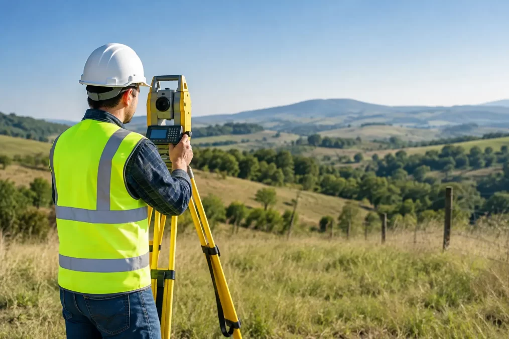
On site, the surveyor searches for boundary marks and other relevant evidence. Depending on the property, this may include survey pegs, corner posts, reference marks, old fence alignments and marks on adjacent roads. Modern equipment, including high-accuracy GNSS and total station technology, supports efficient field measurement, but the equipment does not replace professional judgement. The surveyor must interpret the evidence and apply cadastral principles to determine the boundary position.
Where appropriate, boundary corners can be marked or reinstated on the ground. If the purpose is to guide fencing or construction, the surveyor can discuss practical set-out marks and offsets that are visible and useful to contractors. This is particularly valuable where the true boundary runs through dense vegetation or terrain that makes a direct fence line impractical.
The deliverable depends on the purpose of the engagement. It may be a boundary mark-out, an identification survey plan and report, or survey information prepared for a subdivision, easement or development application. The right scope should be agreed before fieldwork starts, because confirming a boundary for a fence is different from preparing land for a registered subdivision.
Boundary mark-out versus an identification survey
These services are related, but they are not interchangeable. A boundary mark-out is generally focused on locating and marking the boundary for a defined practical purpose, such as fence replacement or planning building setbacks.
An identification survey is a more formal assessment of the property and its improvements in relation to the title boundaries. It is commonly needed for property transactions, council matters, building certificates or waterfront licence transfers. If there is a structure close to a boundary, an identification survey can be the more appropriate starting point because it documents the relationship between the improvements and the legal parcel.
A registered surveyor can recommend the right service once they understand what you are planning, the available records and the site conditions. Choosing the cheaper-looking service without confirming its suitability can create a second round of work later.
Information to have ready before you call
You do not need to understand cadastral plans before making an enquiry. A property address, Lot and DP details if available, and a clear explanation of the issue are usually enough to start. It is also helpful to explain whether the work is connected to a new fence, proposed dwelling, sale, neighbour discussion, access concern or subdivision.
If you have copies of older plans, previous surveys, correspondence about access, or photos of existing marks, keep them available. They may assist the initial assessment, although the surveyor will still need to independently review the authoritative records and site evidence.
Access conditions should be raised early. Locked gates, livestock, steep tracks, wet ground and heavy vegetation all affect how fieldwork is planned. On larger Central Coast properties, particularly around the hinterland areas, practical access planning can make a real difference to timing and cost.
Cost and timing: what changes the scope
There is no single fixed price for rural boundary work because the effort required can vary significantly. A relatively accessible parcel with clear survey marks and straightforward records may be completed efficiently. A heavily vegetated property with long boundary runs, missing marks, difficult terrain or older survey evidence may require more field time and detailed office analysis.
The size of the land is only one factor. The number of corners to be located, the intended use of the survey, access, available evidence and whether adjoining parcels need to be investigated all influence the scope. A clear quote should identify what is included and whether the engagement is for a limited mark-out, an identification survey, or a wider cadastral and development requirement.
Timing also depends on the job’s complexity and the surveyor’s current programme. If fencing contractors, builders or settlement dates are involved, raise those dates at the outset. Early engagement gives the surveyor time to complete the research properly and helps prevent your project being held up while a boundary question is resolved.
Choosing the right survey professional
For legal boundary work in NSW, engage a registered surveyor. Registration matters because cadastral boundary determination requires specific qualifications, competency and professional responsibility. A contractor may be able to locate features with GPS, but that is not the same as determining a title boundary from survey evidence.
Ask whether the surveyor has experience with rural cadastral work and whether they can support the next stage of your project. For example, a property owner may need a boundary marked now, then later require a topographical survey for design, construction set-out for a new building, or an easement plan for access or services. Working with a consultancy that can coordinate those stages reduces handovers and keeps the project information consistent.
Central Coast Surveyors approaches this work as part of the wider property process, whether the immediate need is a fence line, a building decision or a land transaction. The aim is not simply to put marks in the ground, but to give owners and their project team reliable information they can act on.
Before spending money on a fence, committing to a building footprint or relying on an old occupation line, have the boundary assessed properly. A surveyed answer gives you a sound basis for the next conversation, whether it is with a neighbour, builder, solicitor, planner or contractor.