
How to Check Building Encroachment in NSW
A fence that looks slightly out of line, an older garage close to a side boundary, or a neighbour’s roof gutter crossing the apparent boundary can become a serious issue when you sell, renovate or apply for a building certificate. Knowing how to check building encroachment means replacing assumptions with surveyed evidence before the issue delays an approval, contract or construction programme.
In NSW, an encroachment occurs where part of a building or structure extends over a property boundary, whether above, below or at ground level. It may involve a wall, eave, gutter, deck, footing, retaining wall, balcony, carport or pool structure. The visible part of the structure is not always the whole story. Footings and underground services can cross boundaries without any obvious sign on the surface.
Start with the right question
The first question is not simply, “Where is the fence?” It is whether the building has been constructed wholly within the legal parcel shown on the title, and whether any apparent overlap is authorised by an easement, lease, agreement or other registered interest.
Fences, hedges, garden beds and old pegs are useful clues, but they are not reliable proof of a boundary. Fences can be built for convenience rather than on the legal line. They may also have moved, been replaced or been set inside a boundary to avoid a retaining wall, creek line or difficult terrain. On Central Coast sites, sloping land, dense vegetation and older coastal development can make visual judgement particularly unreliable.
Aerial imagery and online mapping can help identify a possible concern, but they are not accurate enough to establish a legal boundary. Their image alignment can be offset by metres. Likewise, a deposited plan shows parcel dimensions and boundaries, but cannot confirm whether an existing building sits correctly in relation to them without field measurement and survey analysis.
How to check building encroachment properly
The dependable method is to engage a registered land surveyor to complete an identification survey. This survey compares the title boundary with the physical improvements on the land and identifies relevant encroachments, if any.
1. Gather the documents you already have
Start with the current certificate of title, deposited plan and any available building plans, previous surveys, easement documents or development consent drawings. If the property was recently purchased, the contract may include a survey report or references to known boundary issues.
These documents give the surveyor useful background, but do not replace their own title investigation. A registered surveyor examines the current legal information and the surrounding cadastral evidence required to determine the boundary correctly.
2. Identify what needs to be checked
Be specific about the structure and the reason for the survey. A purchaser may need to know whether a neighbouring garage or awning crosses the boundary. A homeowner planning an extension may need confirmation that an existing dwelling is correctly located before design work proceeds. A builder may need an accurate boundary mark-out before excavation and set-out.
Tell the surveyor about suspected issues, proposed works and tight project dates. This helps define whether an identification survey alone is suitable or whether you also need a detail and contour survey, boundary mark-out, construction set-out or a separate report for council.
3. Have the boundary and building measured on site
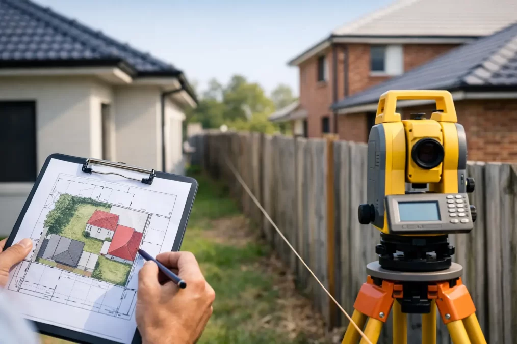
The surveyor locates available survey marks, measures physical evidence across the site and, where necessary, considers adjoining parcels. Modern field equipment improves efficiency, but the legal determination comes from the registered surveyor’s analysis of the evidence, plans and measurements.
The building is then measured in relation to the determined boundaries. This may include walls, eaves, gutters, decks, steps, retaining walls and other improvements relevant to the purpose of the survey. If access to a neighbouring property is needed to measure a suspected encroachment accurately, the surveyor will discuss the practical requirements with you.
4. Review the identification survey results
The survey plan or report will show the relationship between the improvements and the property boundaries. It may reveal that the apparent issue is not an encroachment at all. For example, a fence may be offset while the house is correctly located, or a roof overhang may sit inside the boundary despite looking close from ground level.
If there is an encroachment, the result should identify what crosses the boundary and the extent of the overlap. The next steps depend on the structure, how long it has existed, the title position, the parties involved and whether future development is proposed.
5. Act before the issue becomes urgent
Do not wait until contracts have been exchanged, a builder is booked or a council deadline is approaching. Boundary questions can involve discussions with neighbours, legal advice, design changes, approvals or title documentation. Early identification provides more options and usually reduces disruption.
Common signs that warrant an identification survey
A survey is worthwhile whenever a structure is close to a boundary and the consequences of being wrong are significant. This often arises before buying or selling a property, lodging a building certificate application, building an addition, replacing a boundary fence, subdividing land or resolving a neighbour dispute.
Pay particular attention to older garages, carports, decks and sheds near side or rear boundaries. Eaves and gutters are often the first visible sign, while balconies, stairs and retaining walls can create more complex questions. Waterfront, irregular and heavily sloping sites also benefit from early boundary clarification because physical occupation may not align with the parcel shown on a plan.
A neighbour raising a concern is another reason to act promptly, but it does not prove an encroachment. Keep communication factual and avoid agreeing to move or alter a structure until the legal boundary has been surveyed. A measured result gives both parties a clearer basis for discussion.
What happens if an encroachment is found?
An encroachment does not automatically mean a building must be demolished. The appropriate response depends on the facts. A minor eave intrusion may be approached differently from a dwelling wall, footing or retaining structure extending over a boundary. Existing easements, the age of the works, planning controls, lender requirements and the intended use of the property can all matter.
Possible pathways can include negotiating an agreement with the adjoining owner, altering or removing part of the structure, creating an easement, adjusting a proposed design, or seeking legal advice about available remedies. Some solutions require survey plans for registration with NSW Land Registry Services. Where a boundary adjustment or easement is proposed, a registered surveyor can prepare the necessary survey documentation and coordinate with the project team.
Do not assume that neighbour consent alone resolves the title issue. An informal agreement may not satisfy a future purchaser, lender, council assessment or conveyancer. Equally, do not assume a survey result answers every legal question. A survey establishes the location of boundaries and improvements; legal advisers provide advice on rights, obligations and dispute resolution.
Avoid costly shortcuts
The most common mistake is treating an old fence line as the boundary. Another is relying on a real estate listing plan, satellite image or builder’s sketch as though it were a cadastral survey. These sources may be useful for preliminary planning, but they are not designed to determine legal occupation.
It can also be tempting to order the narrowest possible service when an issue first appears. That may be appropriate for a straightforward question, but projects often need more than one survey outcome. If an extension is planned, combining early boundary confirmation with a detail and contour survey can give the architect reliable site information from the outset. Before construction, a precise boundary mark-out and building set-out protect the design intent on the ground.
For property owners, the value is certainty before committing to expensive decisions. For architects, builders and developers, it is dependable information that reduces redesign, site delays and difficult conversations after work has started.
When timing matters
Allow time for field work, title research, plan preparation and any follow-up discussions. Turnaround requirements vary with site access, vegetation, terrain, the availability of survey marks and the complexity of adjoining titles. A straightforward residential site is different from a large rural parcel, strata development or property affected by multiple easements.
If you suspect an encroachment, provide the issue early and request an assessment from a registered surveyor rather than guessing from a fence or online map. A clear identification survey gives you a practical starting point for design, negotiation or legal advice – before a small boundary question becomes an expensive project problem.