
Do I Need a Boundary Survey Before Designing a House?
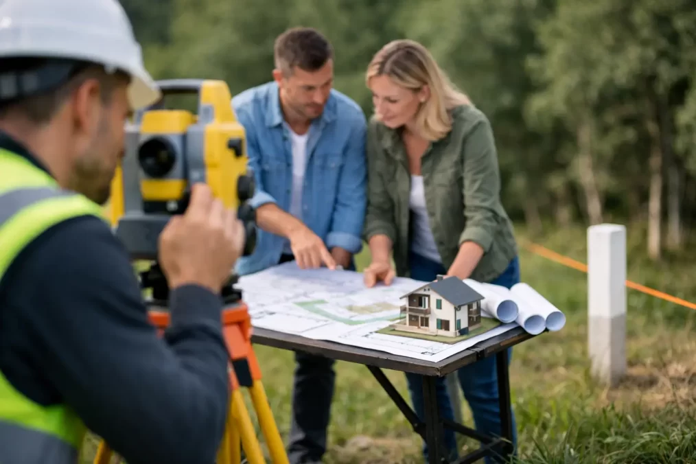
A house design can look perfect on paper and still be unbuildable where it sits on the land. If you are asking, “do I need a boundary survey before designing a house?”, the practical answer for most new homes, major additions and constrained Central Coast sites is yes – or at least, you should have a registered surveyor assess the boundary evidence before the design is allowed to progress too far.
A boundary survey does more than show where a fence appears to run. It establishes the legal parcel boundaries from title information, deposited plans and physical survey evidence on site. That information gives your architect, builder and engineer a reliable starting point for designing setbacks, garages, decks, pools, retaining walls and drainage without relying on assumptions.
Why a boundary survey should come before house design
Design decisions are expensive to unwind. When a designer works from an aerial image, old council records, an estate plan or the position of existing fences, there is a real risk that the building footprint is based on the wrong boundary line.
Fences are useful visual references, but they are not proof of ownership. They may have been built inside or outside the legal boundary, shifted during previous works, or installed without any survey control. On older properties, it is not unusual to find occupation features that do not align with the title dimensions.
Once boundaries are established, the design team can position the house with confidence. They can check required setbacks, identify whether an existing structure encroaches, allow room for construction access, and make sensible choices about windows, eaves and stormwater. This is particularly valuable on narrow lots, waterfront land, sloping blocks and established neighbourhoods where there is little tolerance for error.
A boundary survey early in the process usually costs far less than redrawing plans after a boundary issue is found. More importantly, it reduces the chance of commencing work in the wrong location or creating a dispute with a neighbour.
Do I need a boundary survey before designing a house in NSW?
It depends on the site, the proposed work and the survey information already available. A recent, suitable survey prepared by a registered surveyor may be enough for a straightforward project. However, a survey prepared for a previous purpose may not provide the level of boundary certainty your new design needs.
For a vacant lot in a newer estate with clear survey marks, the boundary position may be relatively easy to verify. Even then, the building designer needs dependable data, not an assumption that pegs are still in their original position. Pegs can be disturbed by fencing, landscaping, excavation and nearby building work.
For an established home, a knock-down rebuild or a substantial extension, a current boundary survey is generally the safer approach. The risk rises where the house is close to a side boundary, the proposal includes a secondary dwelling, or you are planning a new garage, carport, pool, retaining wall or deck near the edge of the property.
You should also seek registered surveyor advice before design if any of the following apply:
- a fence, driveway, wall or neighbouring building appears close to the title boundary;
- the land has irregular angles, a battle-axe handle or an access easement;
- you cannot locate original survey marks, or the marks appear disturbed;
- the property is waterfront, rural, heavily vegetated or on a steep site;
- a neighbour has raised a concern about the fence line or use of land; or
- the proposed building will sit close to a required setback.
These conditions do not automatically mean there is a problem. They simply mean the cost of getting the position wrong is higher.
A detail and contour survey is not always a boundary survey
This distinction matters at the start of a project. Architects commonly need a detail and contour survey to understand the site. It records ground levels, existing buildings, trees, kerbs, services visible on site, drainage features and other elements that influence the design.
A boundary survey focuses on identifying and marking the legal property boundaries. Depending on the brief and available evidence, these services may be completed together or as separate stages. For a new house, combining reliable boundary information with detailed topographical data often provides the most useful design base.
Do not assume a plan labelled “site survey” includes a full boundary determination. Ask what has been surveyed, whether boundaries have been re-established or adopted from existing information, and whether the plan is suitable for your proposed design, council application and construction set-out.
An identification survey is another related service, usually used to show the relationship between existing improvements and title boundaries. It can be required for matters such as council building certificates or property transactions. It is not simply interchangeable with a survey prepared for architectural design, so the purpose should be clear from the outset.
What the surveyor checks before marking a boundary
A registered land surveyor does not determine a boundary by measuring from the nearest fence. The work involves examining the relevant title and survey records, locating original or supporting marks, assessing occupation on site, and applying cadastral surveying principles to determine the boundary position.
The amount of work required varies. On some sites, existing marks and records provide clear evidence. On others, the surveyor may need to investigate adjoining properties, historical plans or older survey connections to resolve the position correctly. This is why two blocks of a similar size can require very different levels of survey effort.
For design purposes, the resulting plan can show the boundary dimensions and relationship of existing structures to those boundaries. If appropriate, boundary corners can also be marked on the ground. This gives the project team a physical reference, but it does not replace formal construction set-out when it is time to place the new building.
The project risks a survey helps you avoid
The most obvious risk is designing a building that does not meet the required setback once the real boundary is established. A small discrepancy can affect a whole floor plan, particularly where bedrooms, garages or external living areas have been designed to maximise a tight site.
There are other consequences too. A boundary survey can expose an existing encroachment that needs to be understood before demolition or construction. It can identify an easement that limits where you can build or excavate. It can also help the designer respond to actual site dimensions rather than assumed dimensions, which often improves the layout from the beginning.
For builders, accurate survey information supports cleaner pricing and sequencing. It reduces late changes to retaining, excavation, access and stormwater arrangements. For neighbours, it helps keep conversations factual if work is proposed close to a shared boundary.
A survey will not remove every approval or construction risk. Planning controls, bushfire requirements, flooding, geotechnical conditions, services and structural design all need their own consideration. But it establishes the legal frame that every other site decision relies on.
When can you proceed without a new boundary survey?
There are limited situations where a new boundary survey may not be necessary before early concept design. For example, a preliminary feasibility sketch may use existing reliable information while you assess whether a project is financially viable. A modest internal renovation with no external changes will not usually need boundary work.
The key word is preliminary. Before plans are finalised, lodged for approval or priced for construction, the information should be checked against the level of risk. If the design depends on a setback, a boundary-adjacent structure or a precise building envelope, verify the boundary before committing to the layout.
Your architect or builder may have an old plan on file. It can be helpful background material, but its age, purpose and accuracy should be reviewed. Site conditions change, survey marks can be lost, and a plan prepared for a different project may omit details that now matter.
A practical order for a smoother design process
Start by engaging a registered surveyor with the property address, title details if available, and a clear description of what you intend to build. Explain whether the project is a new dwelling, extension, knock-down rebuild, pool, garage or subdivision-related development.
The surveyor can advise whether you need a boundary survey, a detail and contour survey, an identification survey, or a combined scope. Providing the plans or even an early sketch helps the surveyor focus on the areas that matter to the design.
Once the survey plan is complete, give the same current version to your architect, planner, engineer and builder. This reduces the common problem of different consultants working from different base plans. When the building is ready to be constructed, arrange construction set-out so the approved design is transferred accurately onto the ground.
For Central Coast properties, local experience can be especially useful where sloping terrain, older subdivisions, coastal conditions, access constraints or complex drainage shape the design response. Central Coast Surveyors can coordinate the survey information needed from early design through to construction set-out, keeping the project team working from accurate ground and boundary data.
The best time to clarify a boundary is before it becomes a design constraint, a variation or a difficult conversation over the fence. Get the site facts established early, then let your design team make the most of the land with confidence.