
Drone Site Mapping for Better Project Decisions
A steep backyard, a large acreage block or an active construction site can be difficult to understand from ground level alone. Drone site mapping gives project teams a clear overhead record of the land, existing features and changing site conditions – often far more quickly than traditional site walks alone. Used properly, it helps architects, engineers, builders and property owners make earlier, better-informed decisions.
For Central Coast projects, this can be particularly useful where sites include slopes, dense vegetation, waterfront edges, restricted access or broad areas of earthworks. The value is not simply having an impressive aerial image. It is having reliable spatial information that can support design, planning and construction decisions.
What drone site mapping actually delivers
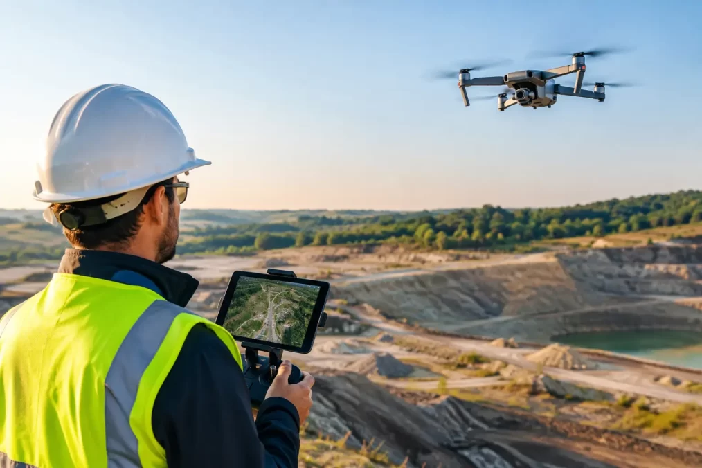
Drone site mapping uses a remotely piloted aircraft to capture overlapping aerial photographs across a site. Specialist processing software combines those images to create useful mapping outputs, such as a high-resolution orthomosaic, a three-dimensional model or a point cloud showing the shape of the ground and visible structures.
An orthomosaic is more than a standard aerial photograph. It is corrected and scaled so it can be viewed from directly above and measured when it has been prepared with appropriate survey control. This makes it useful for identifying site features, comparing construction progress, planning access and communicating a site layout to the wider consultant team.
Depending on the brief, the data may also support contour modelling, surface comparisons, stockpile volume calculations and cut-and-fill assessment. On a broad development site, that can give a civil engineer or project manager a quick visual reference alongside the formal design and survey information.
The crucial point is that image quality and legal survey accuracy are not the same thing. A drone can collect a large amount of visual data quickly, but results need suitable ground control, checking and professional judgement before they are relied on for design set-out, levels or property decisions.
When drone mapping is the right tool
Drone mapping is most effective when site coverage, speed and visual context matter. It is particularly suited to large residential lots, rural land, subdivision sites, civil works, quarries, earthworks and projects where site conditions are changing regularly.
Before an architect begins concept design, an aerial image and terrain model can help reveal drainage lines, retaining walls, driveways, roof forms, tree cover and neighbouring development patterns. For a builder, regular flights can provide a dated visual record of progress, access routes and material storage. For a developer, the model can assist with early feasibility discussions and give consultants a common reference for a complex site.
It also has practical safety benefits. Surveying a steep embankment, watercourse edge or unstable excavation entirely on foot may expose staff to unnecessary risk. A drone does not remove the need for fieldwork, but it can reduce the time spent in difficult locations and provide a clearer view before a team enters the area.
There are limits. Dense canopy prevents a standard aerial camera from seeing the ground beneath it. Shadows, reflective surfaces, narrow laneways and poor weather can affect image capture. A drone is also not a replacement for locating underground services, inspecting title boundaries or establishing the precise levels required for construction set-out.
Survey control makes the difference
The most useful drone site mapping is tied to a known coordinate and height system. This is achieved by establishing survey control points around the site and measuring them with professional survey equipment. Those points allow the drone imagery and model to be accurately positioned, scaled and checked.
Without control, a drone model can still be valuable as a visual planning aid. However, its position and elevation may shift enough to create problems if someone assumes it is suitable for engineering design or construction. That distinction matters when decisions affect excavation quantities, stormwater grades, finished floor levels or clearances.
A registered surveyor can determine the appropriate level of control for the intended use. For an early feasibility exercise, a practical site model may be sufficient. For detailed civil design or earthworks verification, the project may require tighter control, field validation and conventional survey observations at critical locations.
This combined approach is often more efficient than treating drone capture and ground survey as competing methods. The drone gives broad coverage and context. Ground survey supplies the control, detail and confidence needed where accuracy is critical.
Aerial mapping is not a boundary survey
This is one of the most common misunderstandings. Seeing fences, walls or occupation lines clearly in an aerial image does not establish the legal boundary. Fences can be offset, moved over time or built for reasons unrelated to the title line.
If a project involves fencing, a new building near a boundary, an encroachment concern, subdivision or a sale requiring clarity over improvements, a cadastral boundary survey or identification survey may be required. These services rely on title evidence, survey records, field measurement and the professional assessment of a registered surveyor.
Drone imagery can be a helpful supporting record, but it cannot replace that process.
A practical workflow for a mapped site
The best results start with a clear question. Is the project team trying to understand the existing terrain? Monitor bulk earthworks? Calculate volumes? Brief an architect? Record the site before construction? The answer determines the flight plan, control requirements, outputs and accuracy checks.
A typical workflow begins with a site review and risk assessment. Airspace conditions, nearby people and property, powerlines, vegetation, access, weather and ground conditions all need consideration. The drone operation must comply with applicable aviation requirements, and the site still needs to be managed safely as a work area.
Survey control is then placed and observed where required. The drone captures planned image runs with enough overlap to support processing. After processing, the model is checked against surveyed points and reviewed for gaps, distortions and features that need confirmation on the ground.
The final deliverable should suit the next person who needs to use it. An architect may need an aerial base and contours. A civil designer may need a point cloud or surface model in an agreed coordinate system. A project manager may need a simple dated map and progress images. Providing a technically impressive file that cannot be used in the project software is of little value.
Using drone data through design and construction
The strongest value often comes from using drone data at more than one project stage. A mapped existing-condition survey can inform early design, while later capture can show site changes before and after demolition, earthworks or construction.
For earthworks, comparing surfaces from different dates may assist with quantity tracking and programme discussions. It should not be treated as a substitute for contractual measurement without agreement on methodology, tolerances, control and verification. Small errors spread across a large area can become significant volume differences.
During construction, aerial imagery can help coordinate teams who are not on site every day. It gives engineers, planners, clients and project managers a common visual reference when discussing drainage works, retaining structures, road formation or access constraints. It may also create a useful project record, particularly where temporary conditions will later disappear.
For residential work, the application may be simpler but no less useful. A drone image can clarify a constrained block for an architect, show the relationship between a proposed addition and existing rooflines, or help communicate a site’s slope and access to consultants before they attend.
Choosing a survey partner for drone mapping
Ask what the data will be used for, rather than asking only for a drone flight. The right provider should be able to explain whether aerial mapping is appropriate, what accuracy is realistic, where conventional survey is still necessary and which outputs will work for the project team.
Look for a surveying practice that can integrate the aerial work with detail and contour surveys, set-out, level reports, boundary work and final plans. That avoids disconnected datasets and reduces the risk of one consultant designing from imagery that does not align with the control used by another.
Central Coast Surveyors approaches drone capture as part of a broader survey solution, not as a stand-alone photo service. That means the mapping can be coordinated with the data needed for design, approvals and construction, with registered surveyor oversight where the project demands it.
A well-planned drone survey does not eliminate the need to inspect a site properly. It gives the project team a clearer starting point, a faster way to see change and better information for the decisions that need to be made next.