
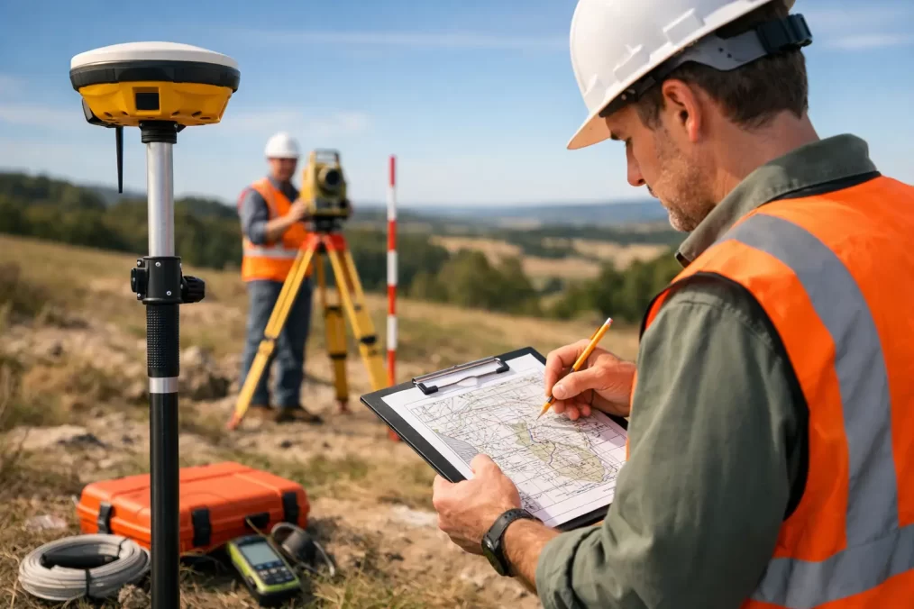
How to Prepare for Topographic Survey Work
A contour plan that misses a retaining wall, stormwater pit or level change can set a design team back before the first concept is drawn. Knowing how to prepare for topographic survey work helps the field team collect the right information on the first visit, keeps your project moving and gives architects, engineers and planners a reliable base to work from.
For Central Coast properties, preparation matters particularly where sites are sloping, heavily vegetated, waterfront-facing or affected by older structures and informal drainage. A good survey starts before the surveyor arrives on site.
Confirm what the survey needs to achieve
A topographic survey, also called a detail and contour survey, records the visible features and ground levels of a site. It commonly includes buildings, fences, driveways, retaining walls, trees, services visible above ground, drainage structures, kerbs, footpaths and contours. The exact extent and level of detail should suit the project, not simply follow a generic checklist.
Start by explaining what you are planning. Are you considering a new dwelling, renovation, secondary dwelling, pool, subdivision, civil works or a commercial development? The answer affects the area to be surveyed and the detail required. For example, an architect designing an extension may need accurate floor levels, roof lines, window locations and neighbouring features that affect privacy or setbacks. A civil engineer may need broader levels across the site and the adjoining road reserve to design drainage and vehicle access.
Give the surveyor any drawings, consultant sketches or planning advice you already have. Even preliminary plans are useful because they show where decisions are likely to be made. If council has requested particular information, provide that request at the outset rather than waiting until the plan has been issued.
It is also worth confirming whether you need more than a topographic survey. A detail survey records physical features, but it does not by itself establish legal boundaries. If a boundary position is critical for design, fencing, construction or a building certificate, an identification survey or cadastral boundary mark-out may also be needed. Combining work can be efficient, but it depends on the title information, site history and purpose of the project.
Provide property and site information early
The lot and deposited plan number, street address and a current copy of the title are a strong starting point. If you have older survey plans, building plans, easement documents, development consent conditions or correspondence about boundaries, send them through as well. These documents do not replace field measurements or title research, but they can help identify issues before site attendance.
Tell the surveyor about anything unusual on the property. This may include an unregistered access arrangement, a shared driveway, a recent excavation, a demolished structure, a pool, a seawall, a creek, a steep embankment or an area that becomes wet after rain. On Central Coast sites, drainage paths, mature vegetation and changes between the front street level and the rear of the lot can materially affect design options.
Be clear about the survey extent. Do you need the whole parcel, only the proposed building area, or neighbouring levels beyond the boundary? A narrow survey area can reduce cost, but it can also leave designers without information they later need for cut and fill, stormwater design, overlooking assessment or driveway grades. The right approach is to survey enough area for the current design stage while avoiding unnecessary fieldwork.
Arrange safe, complete access
Surveying equipment is precise, but it cannot measure features that are locked away, obscured or unsafe to approach. Arrange access to every relevant part of the property, including side passages, rear yards, garages, basements, undercroft areas and accessways. If a tenant occupies the property, give them clear notice of the appointment and the approximate arrival window.
Where the survey must extend into adjoining land, the road reserve or common property, discuss access requirements early. Your surveyor can explain what is required, but permission is generally best organised before the site visit. Do not assume an open gate means access is available.
Before the team arrives, secure dogs and other animals, unlock gates, clear parked vehicles where possible and make sure site hazards are disclosed. On construction sites, the surveyor may need to complete site induction requirements and comply with the builder’s safety procedures. Let the project manager know the survey is booked so access does not conflict with deliveries, excavation, crane operations or concrete pours.
You do not need to clear an entire block. However, move temporary items that hide permanent features or levels, such as trailers, stored materials, garden furniture and piles of green waste. If long grass, dense lantana or heavy undergrowth conceals the ground, consider whether selective clearing is appropriate before the survey. This is especially relevant where accurate contours are needed for a proposed building pad, driveway or drainage design.
Make services and structures visible where practical
A topographic survey will locate visible service features such as inspection openings, pits, meters, poles and overhead wires. It cannot confirm the exact underground route, depth, size or condition of a buried service unless a separate utility investigation has been arranged.
Point out known services and recent works when the surveyor arrives. If you know where a septic system, irrigation line, rainwater tank overflow, old well, unmarked drainage line or electrical conduit is located, share that information. It may need separate verification, but it gives the design team valuable context.
For projects involving excavation, service connection or significant earthworks, discuss utility searches and locating with the project team. Plans from asset owners are often indicative rather than construction-ready. Physical locating, non-destructive digging and engineering advice may be required before work begins near underground assets.
Also make major structures accessible. If floor levels are needed, rooms should be open and reasonably clear. If a retaining wall, deck or drainage channel is hidden by stored goods or thick planting, the field team may not be able to capture its dimensions accurately. A quick conversation before attendance can prevent a return visit.
Coordinate the right people and timing
A topographic survey has the most value when it arrives before the design team has committed to a layout. Engage the surveyor early, ideally before architectural concept plans are finalised. Accurate levels can change the practical location of a driveway, garage, pool, building platform or stormwater system. Finding that out after a design has been developed usually costs more than addressing it at the start.
If an architect, building designer, town planner, civil engineer or structural engineer is already appointed, ask what information they require. They may need the plan in a particular format, coordinate system or datum. Confirming this before fieldwork avoids conversions, redraws and incomplete data later.
Timing also depends on site conditions. Heavy rain can make steep ground slippery, conceal drainage flow paths or limit access. Dense summer growth may hide natural ground and minor features. Conversely, a survey completed before demolition may be necessary where existing building information is needed, while a post-demolition survey may better support new earthworks design. There is no universal best time – it depends on what the next consultant needs to know.
Central Coast Surveyors uses advanced Trimble equipment and registered surveying expertise to capture site information efficiently, but field technology works best with a clear brief and accessible site. A short pre-survey discussion is often the fastest way to identify the likely scope, turnaround and any additional survey requirements.
Check the draft plan against the brief
Once the survey is issued, do not treat it as a document to file away. Review it against the agreed scope while the site visit is still fresh in mind. Check that the relevant structures, visible pits, significant trees, access points and areas of proposed work are shown. If something appears to be missing, raise it promptly.
Your surveyor can explain the symbols, contour interval, datum and notes on the plan. This is particularly useful for property owners who are reading a survey drawing for the first time. For professional consultants, it is an opportunity to confirm that the CAD data, levels and survey coverage suit the next design task.
Keep in mind that a survey represents conditions at the time of measurement. If you later remove a building, install a retaining wall, reshape the site or undertake bulk earthworks, the original plan may no longer be suitable for construction set-out or final certification. Updating survey information at the right project stage protects the accuracy of decisions that follow.
A prepared site and a well-defined brief give everyone a better starting point. Before booking, gather the available property information, identify access constraints and tell the surveyor what decision the plan needs to support. That simple preparation can turn a routine site visit into a plan your project team can confidently build on.