
Are Survey Pegs Legally Binding in NSW Property?
A peg near a fence line can look decisive, particularly when you are planning a new fence, extension, retaining wall or sale. But are survey pegs legally binding? In NSW, the short answer is that a peg alone is not a document that creates a boundary or settles a dispute. Its meaning depends on who placed it, why it was placed, whether it is an original or replacement survey mark, and how it corresponds with the title and survey records.
For Central Coast property owners, acting on the wrong assumption can be expensive. A fence or building set-out based on an old, moved or unofficial peg may encroach on neighbouring land, trigger a dispute, or require costly changes after construction has started. The reliable course is to have a registered surveyor identify and re-establish the boundary before work begins.
Are survey pegs legally binding in NSW?
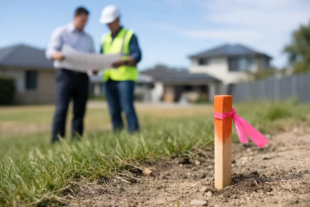
Survey pegs are physical marks used to show a position on the ground. They may indicate a cadastral boundary corner, a line of a boundary, a construction reference point, an easement location or another surveyed feature. They are useful evidence, but they do not operate independently of the legal records that define the land.
In practical terms, a genuine boundary mark placed or adopted during a registered survey has legal significance. It forms part of the evidence a registered surveyor considers when determining the position of a parcel boundary. However, the peg is not the whole answer. The boundary is determined by applying the relevant title information, registered plan, deposited plan, survey records and accepted surveying principles to the site evidence.
That distinction matters when a peg is missing, damaged, displaced or inconsistent with fences and occupation. A boundary does not move simply because a peg has disappeared, nor does a newly installed peg become legally authoritative because it has been there for years. Land boundaries are tied to the legal description of the parcel, not to the most convenient feature on the ground.
Only a registered surveyor can undertake the cadastral work needed to properly locate and mark a title boundary in NSW. If the location of a boundary is disputed, legal advice may also be required. A survey provides the technical foundation; it does not replace the separate legal process required where parties cannot agree.
Not every peg is a boundary peg
The word “peg” is used loosely on building sites, which is where confusion often starts. Before relying on one, you need to know its purpose.
A cadastral survey mark may be a timber peg, metal pin, nail, drill hole, concrete mark or other recognised mark associated with a property boundary. It may be original, placed under an earlier survey, or set during a more recent boundary re-establishment. Its location needs to be assessed against the survey evidence.
A construction set-out peg is different. Builders and surveyors use these pegs to transfer an approved design onto a site. They can indicate building corners, grid lines, excavation limits, floor levels or offsets. They are essential for construction accuracy, but they do not define ownership boundaries unless the work specifically relates to a verified boundary.
An informal peg may have been installed by an owner, contractor, neighbour or fencing crew. It may be intended as a guide only, or it may simply mark where someone believes a boundary sits. It has no authority to alter title boundaries and should never be used as the basis for permanent work without verification.
A peg near a fence can also be misleading. Fences are commonly built inside a boundary, outside it, or on a line agreed for convenience. On older Central Coast properties, changes to landscaping, driveways, retaining walls and rebuilding can make the physical occupation look settled even where it does not match the title line.
What gives a boundary its legal standing?
A property boundary in NSW is established through the registered title system and the plans and survey information supporting it. A surveyor does not simply measure from one visible peg to another. They investigate the available evidence and assess its reliability.
This usually involves reviewing the current title and relevant registered plans, searching prior survey information, locating marks on and around the property, and comparing measurements on the ground with the legal dimensions and relationships recorded in the plans. Occupation features such as fences, walls and buildings are also measured because they may reveal an encroachment or help explain the history of the site.
Where original marks still exist and fit the surrounding evidence, they can carry considerable weight. Where they do not exist, a registered surveyor may need to re-establish the corners from other reliable marks and survey records. This is why an identification survey or boundary mark-out is more than a quick tape measure along a fence.
The outcome is a defensible professional determination of the boundary position, with marks placed where appropriate. It gives owners, designers and builders a reliable line to work from and creates a clear record for future decisions.
When should you arrange a boundary mark-out?
A verified boundary is particularly valuable before work that is close to a side, rear or waterfront boundary. This includes new fencing, garages, carports, extensions, pools, retaining walls, driveways, granny flats and demolition. It is also sensible before buying a property where buildings or fences appear close to a boundary, or where a neighbour has raised a concern.
For development and subdivision projects, boundaries should be confirmed early enough for architects, planners and engineers to design with confidence. A topographical survey may show visible fences and features, but it is not automatically a cadastral boundary survey. If setbacks, site coverage, easements or building locations depend on the true boundary, request the appropriate boundary work at the outset.
This early step can prevent a common and costly sequence: design to an assumed fence line, obtain approvals, commence construction, then discover the approved building footprint conflicts with the actual title boundary. Adjustments at that point can affect certification, structural design, drainage, neighbour relations and programme timing.
Can you move or remove a survey peg?
Do not move, remove, cover or damage a survey mark simply because it is inconvenient. Survey marks are protected under NSW surveying legislation, and interfering with them can create legal consequences as well as practical problems for current and future surveys.
If a peg is in the way of proposed works, speak with your surveyor before anything is disturbed. They can record the mark, establish suitable reference marks and advise how it can be managed while preserving the survey evidence. This is especially important before excavation, fencing, pavement works or retaining wall construction.
It is also worth treating temporary site marks carefully. Construction pegs may need to be replaced during the project, but that should be done from controlled survey information, not guessed from a string line or an old photograph. Clear communication between the surveyor, builder and site supervisor keeps the set-out intact.
A practical approach before you build or fence
If you have found a peg and need to make a property decision, start by assuming it is evidence rather than proof. Take clear photographs, avoid disturbing it and note its relationship to nearby fences, buildings and visible marks. Then arrange for a registered surveyor to inspect the site and review the relevant records.
For straightforward fencing, a cadastral boundary mark-out may be the right service. For a sale, building certificate or suspected encroachment, an identification survey may be more suitable because it compares existing improvements with the title boundaries. Larger projects may require boundary work alongside a detail and contour survey, construction set-out and final survey so every stage is coordinated from the same reliable control.
Central Coast Surveyors can assess the available evidence, re-establish boundaries where required and provide practical marks for your builder or fencing contractor to follow. The right scope depends on the property, the age and quality of existing marks, and what you plan to build.
A survey peg can be a valuable clue, but it should not be the last word on where you own. Confirm the boundary before committing to permanent work, and you will give your project a far better chance of proceeding cleanly, compliantly and without an avoidable neighbour dispute.