Cadastral Survey for Development Explained
A project can look straightforward on paper until a boundary does not line up with the fence, an easement affects the building footprint, or title dimensions do not match what is on the ground. That is where a cadastral survey for development becomes essential. It gives developers, builders, architects and property owners reliable boundary information early, before design decisions turn into approval delays, redesign costs or construction disputes.
For development work in NSW, cadastral surveying is not just about measuring land. It is about interpreting title, deposited plans, easements, restrictions and physical evidence on site, then applying that information in a way that stands up for design, approvals, construction and registration. When done properly, it creates a clear legal and spatial framework for the whole project.
What a cadastral survey for development actually covers
A cadastral survey for development focuses on land ownership boundaries and the legal definition of the parcel being developed. That sounds simple, but in practice it can involve old survey marks, title inconsistencies, road alignments, occupation evidence, encroachments and statutory interests that affect how land can be used.
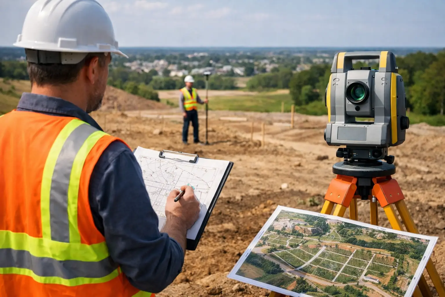
On a development site, the cadastral component often sits alongside other survey work such as a detail and contour survey. The detail and contour survey shows levels, features, services and site conditions. The cadastral survey confirms where the legal boundaries sit within that physical environment. Both matter, but they answer different questions. One helps the design team understand the landform and constraints. The other confirms what land can legally be developed and where structures, setbacks, access and services relate to title boundaries.
This is why boundary assumptions can become expensive. A designer might work from existing fences or aerial imagery, but those are not a substitute for a registered cadastral survey. Fences can be built out of position. Old pegs can be disturbed. Occupation lines can reflect convenience rather than title.
Why developers and consultants need it early
The best time to commission a cadastral survey is usually before concept design is locked in. Early boundary clarity reduces rework. It also gives planners, architects and engineers a more accurate base to assess setbacks, easements, driveway access, private open space, stormwater design and subdivision potential.
For small residential projects, this might mean confirming whether a proposed extension, secondary dwelling or duplex can sit where the concept intends. For larger projects, it can affect lot yield, building envelopes, asset protection requirements and the feasibility of future subdivision or title creation.
There is also a practical scheduling reason. If boundary issues appear late, they rarely stay contained to the survey package. They can hold up planning reports, amended drawings, consultant coordination, construction set-out and final registration. A relatively small uncertainty at the start often becomes a much bigger issue once multiple disciplines are working from the same incorrect assumption.
Common issues a cadastral survey identifies
A proper cadastral survey for development often brings issues to light that are not obvious from title documents alone. Easements are a common example. A drainage easement or right of carriageway can materially affect building placement, service routing or future subdivision design.
Encroachments are another. Existing fences, retaining walls, driveways or structures may sit over a boundary, even where neighbouring owners have treated them as established for years. That does not always stop development, but it does mean the issue needs to be addressed with clear advice and a practical pathway forward.
Dimensions on older plans can also create complications. Some parcels were defined under older survey standards, and their reinstatement depends on evidence, adjoining surveys and professional judgment by a registered surveyor. This is one reason local experience matters. Understanding how a particular area has developed over time helps with identifying the most reliable evidence and resolving discrepancies efficiently.
How cadastral surveys support approvals
Council and certifier requirements vary depending on the type of development, but accurate cadastral information underpins many approval pathways. If the boundary position is wrong, setback calculations may be wrong. If an easement is missed, the design may not comply. If the site area is inaccurate, planning controls tied to lot size can be affected.
For subdivision projects, the role is even more direct. Cadastral surveying forms the basis for creating new lots, defining roads or access handles, establishing easements and preparing plans that can ultimately be registered with NSW Land Registry Services. In other words, this is not only about helping a project get approved. It is also about making sure the approved outcome can actually be delivered and legally created.
That distinction matters. Some projects appear feasible from a planning point of view but become more difficult once title, occupation and servicing constraints are properly mapped. Knowing that upfront allows the team to adjust early, rather than trying to solve title issues after money has already been committed to a design direction.
Cadastral survey for development and construction
Once approvals are underway or granted, the cadastral survey continues to play a practical role on site. Building set-out, boundary mark-outs, infrastructure alignment and compliance checks all rely on a correct legal framework. If the original cadastral position is wrong, construction can proceed in the wrong place with serious consequences.
This is where end-to-end survey involvement helps. When the same consultancy can move from boundary definition to detail survey, set-out, final surveys and registration, the risk of information loss between project stages is reduced. It also makes communication easier for the builder, architect, engineer and project manager because they are not trying to reconcile different survey assumptions from multiple parties.
There is a clear cost benefit here as well. Fast survey turnaround is useful, but speed without continuity can create more problems than it solves. The better outcome is responsive delivery backed by registered expertise, quality control and a clear understanding of the project from day one.
What to expect from the survey process
The process usually starts with a review of title documents, deposited plans, easements and other relevant records. From there, the surveyor carries out field work to locate existing marks, identify occupation evidence and measure the parcel in relation to adjoining boundaries and site conditions.
Back in the office, that field data is analysed against legal and historical survey information. In straightforward cases, the boundary position may be clear and readily reinstated. In more complex sites, the surveyor may need to weigh conflicting evidence, review adjoining surveys or account for legacy plan geometry. That is why cadastral work is specialist work, not just site measurement.
The final output depends on the project stage. It may be a boundary identification for design, a cadastral base for a development application, a boundary mark-out before construction, or a subdivision plan prepared for registration. Each output serves a different purpose, but they all rely on the same underlying discipline – defining the legal parcel correctly.
Choosing the right surveyor matters
Not every surveying task carries the same level of legal responsibility. Cadastral work linked to development should be handled by a registered surveyor with current competency and experience in NSW land titling requirements. That is especially true where there are old titles, waterfront interfaces, easements, subdivision proposals or compliance risks tied to building location.
Local knowledge also adds real value. On the Central Coast, site conditions, council expectations, development patterns and historic survey fabric can vary significantly from one area to another. A surveyor who works regularly with local architects, planners, engineers and certifiers can often anticipate issues before they become formal requests for information or costly redesigns.
Central Coast Surveyors works across that full project chain, which is often the difference between a smooth process and a fragmented one. For clients, that means one reliable point of contact from early site advice through to final plan registration.
When a cadastral survey may need to be paired with other surveys
A cadastral survey on its own does not answer every development question. Most projects also need a detail and contour survey so the design team can work with levels, structures, vegetation, drainage paths, services and site features. Depending on the project, there may also be a need for floor level reporting, identification surveys, easement creation or construction set-out.
The key point is that these services should work together, not operate in isolation. If the cadastral boundary information is disconnected from the topographical survey or the set-out package, mistakes can creep in between stages. Coordinated surveying reduces that risk and gives the broader consultant team a more reliable project base.
A cadastral survey for development is one of those services that tends to be overlooked when everything looks straightforward. Then the project reaches approvals or construction and boundary certainty suddenly becomes urgent. Getting that certainty early gives the whole team better information, fewer surprises and a much cleaner path from concept to title. If you are planning any form of development, treating the cadastral survey as an early project input rather than a late compliance task will save time where it matters most.