
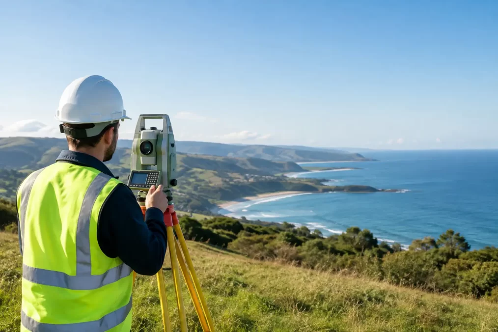
Central Coast Topographical Survey Guide
A topographical survey is often the first technical document that determines whether a proposed project will move efficiently or become expensive to redesign. This Central Coast topographical survey guide explains what the survey captures, when to arrange it and how accurate site information supports better design, approvals and construction decisions.
For a new home, extension, dual occupancy, subdivision or commercial project, assumptions about a site are risky. A block that appears level can have meaningful falls. A retaining wall, drainage line, easement, flood constraint or neighbouring structure may affect what can be designed and where it can be built. A properly prepared survey gives the architect, designer and engineer a measured base to work from rather than a sketch, old plan or online mapping image.
What is a topographical survey?
A topographical survey, often called a detail and contour survey, records the physical features and levels of a property and its immediate surrounds. It converts the existing site into accurate, coordinated survey data and drawings that a project team can use for planning and design.
The scope depends on the project, but a typical survey records boundaries where they can be identified from available evidence, building footprints, fences, driveways, kerbs, footpaths, retaining walls, visible services, trees, drainage structures, pools and other improvements. It also includes spot levels and contours to show the shape and fall of the land.
The resulting plan commonly shows adjoining roads, nearby buildings, overhead power infrastructure and other features outside the title boundary that could influence access, overshadowing, stormwater design or construction. For waterfront, bushland, steep or constrained sites, the required extent of survey information may be greater.
A topographical survey is not automatically a legal boundary definition. If a fence position or assumed boundary needs to be confirmed for a building close to a side boundary, a sale, a dispute or a new fence, a cadastral boundary survey or identification survey may also be required. A registered surveyor can assess the available plans, site evidence and intended use before recommending the appropriate service.
When to commission a Central Coast topographical survey
The best time to arrange a survey is before concept design begins. Designers can then position the building around actual levels, existing structures, views, access and site constraints from the outset. This is usually more efficient than revising drawings after a preliminary design has been based on incomplete or inaccurate information.
For a straightforward residential extension, a current survey may be needed before the architect or building designer starts detailed work. For a larger development, it can support feasibility testing, town planning, civil engineering, stormwater design and subdivision planning. Builders also benefit from current levels and features when pricing work and preparing for construction set-out.
Timing matters on the Central Coast because vegetation growth, new fencing, demolition, earthworks and nearby construction can quickly make an older plan less useful. A survey prepared several years ago may not reflect the current site. Council, designers and certifiers may also require specific information that was not included in an earlier survey.
If the project involves a sloping block at Terrigal, Avoca Beach, Copacabana or other coastal locations, survey early enough to allow for design coordination. Level changes can affect cut and fill, retaining, driveway gradients, stormwater paths and floor level decisions. Leaving this work until plans are advanced can create avoidable approval and construction delays.
What your project team needs from the survey
A useful survey is more than a drawing with contours. It needs to be fit for the decisions that follow. Before fieldwork starts, the surveyor should understand whether the plan is for architectural design, a development application, construction, a flood assessment, drainage design, an easement, subdivision or another purpose.
For design work, the survey data is normally supplied in a clear plan format and may also be provided as a digital file for the project team. Architects and engineers can use this information to build their models and drawings on an accurate base. The coordinate system, datum, contour interval and level information should suit the consultant requirements and the site conditions.
Some projects need additional detail. A proposed dwelling near a creek, for example, may require levels beyond the immediate building area to assist hydraulic or civil design. A steep bushland site may need carefully located contours and feature pickup around access routes, retaining structures and visible drainage paths. A commercial redevelopment may require more extensive coverage of adjoining roads, service features and vehicle access areas.
The right scope is not always the largest scope. It is the scope that gives the design team enough reliable information without paying for unnecessary work. Clear communication at the start is the practical way to get this balance right.
How the survey process usually works
After receiving the property address, proposed project details and any available plans, the surveyor reviews the likely scope, access requirements and relevant title information. This early review helps identify whether a standard detail survey is suitable or whether boundary work, an identification survey or additional records may be needed.
Fieldwork is then completed using professional surveying equipment, including GNSS and robotic total station technology where appropriate. The survey team measures levels and site features, checks observations and gathers the information needed to prepare the final plan. Dense vegetation, difficult access, parked vehicles and locked gates can affect what is visible on the day, so practical site access makes a real difference.
The office process involves reducing observations, drafting the plan, checking data and ensuring the deliverable matches the agreed purpose. For projects that will proceed to construction, the topographical survey often becomes the reference point for later set-out work. Maintaining continuity between the initial survey and construction stages helps reduce transfer errors and repeated explanation between consultants.
Preparing your site for efficient fieldwork
Property owners do not need to clear an entire block before a survey, but visibility is valuable. If possible, unlock gates, arrange access to relevant areas and let the surveyor know about dogs, hazards, steep terrain or restricted parking. Move vehicles from key driveways or building areas where practical, particularly if levels, structures or drainage features beneath them need to be measured.
Provide any relevant documents you have, such as deposited plans, previous surveys, architectural sketches, development application requirements or correspondence that identifies a particular issue. These documents do not replace field measurements or a registered surveyor’s assessment, but they help establish the intended purpose and identify questions before work begins.
If the site has recently been excavated, demolished or altered, say so. The survey should reflect the condition that designers and authorities need to assess. Likewise, advise the surveyor if you intend to retain particular trees, walls, sheds or access points. These decisions can affect what requires detailed pickup.
Common issues that change the scope
Topographical surveys are site-specific. Large or heavily vegetated acreage, waterfront land, narrow access, steep slopes and complex built-up sites can require more field time and planning than an open suburban block. The same applies where extra detail is needed across a road reserve or outside the property to address drainage, access or proposed works.
Visible fences are another common source of confusion. A fence may be close to the title boundary, but it is not proof of the legal boundary position. Where a project depends on boundary location, such as a new building near a setback line or a replacement fence, ask for advice before relying on fence lines shown on a detail survey.
Existing services also need care. A topographical survey can record visible service structures such as pits, poles and meters, but it does not locate every underground pipe or cable. Where excavation is planned, specialist service locating and safe digging procedures may be required in addition to the survey.
Choosing a surveyor for the next stage
The most useful question is not simply how quickly a plan can be produced. Ask whether the surveyor is registered, whether the proposed scope suits the design or approval requirement, what the deliverables include and whether they can continue to assist through set-out, final survey and title work if the project proceeds.
Central Coast Surveyors works with property owners and project consultants from early detail and contour surveys through to construction set-out and registration work. That continuity is particularly useful when site levels, boundary information and approved design details need to remain consistent across several project stages.
Before approving a quote, ensure the purpose is clear and the project team has identified any special requirements. A well-scoped survey provides more than lines and numbers on a plan: it gives every consultant a dependable starting point for making decisions with confidence.