
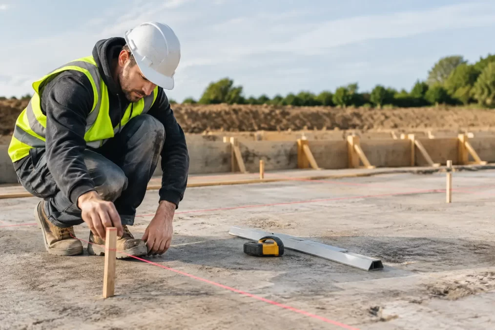
How to Organise Set-Out Before a Concrete Slab
A concrete slab is difficult and expensive to move once it is poured. If a building is in the wrong position, too close to a boundary, or set at the wrong level, the issue can affect approvals, drainage, construction sequencing and resale. The right time to organise a set-out before the slab is after the design has been confirmed but before excavation, formwork and reinforcement make changes harder.
For residential builds, additions, duplexes and commercial work, a professional construction set-out provides the control the builder needs to establish the approved building footprint accurately on site. It turns drawings into physical reference points that can be checked throughout the slab stage.
Why slab set-out needs more than a tape measure
A slab set-out is not simply marking where the corners of a house will sit. It starts with confirming the legal boundary, identifying the approved building position and transferring the relevant dimensions and levels from the construction documentation to the land.
On a clear, level block, some measurements may appear straightforward. On many Central Coast sites, however, sloping ground, irregular boundaries, existing structures, retaining walls, easements, coastal conditions and tight access can make an apparently simple set-out less forgiving. A small error at the front corner of a slab can become a larger issue where it affects a side setback, driveway grade or connection to an existing dwelling.
A registered surveyor uses established survey control and calibrated equipment to position the works in relation to the title boundaries and design coordinates. This is different from a builder establishing internal formwork dimensions. Both processes matter, but they serve different purposes. The survey set-out establishes where the building belongs on the site. The builder then constructs the slab and frame to the drawings within that control.
Confirm the information before booking the set-out
The best set-outs are organised before machinery arrives, not when excavation is already under way. The surveyor needs current, coordinated information so the marks issued on site reflect the approved design rather than an earlier concept plan.
Provide the latest architectural site plan, floor plan and relevant engineering drawings. The site plan should clearly show the proposed building footprint, setbacks, easements, boundary offsets, finished floor level and any features that affect placement, such as a garage, pool, retaining wall or driveway. If the project has been revised, make sure superseded plans are removed from circulation.
It is also sensible to confirm whether council approval, a complying development certificate or construction certificate imposes conditions affecting location or levels. Your certifier, architect, planner or builder may need to clarify an inconsistency before work starts. A surveyor can set out the design supplied, but should not be expected to resolve competing dimensions between drawings without direction from the project team.
For an addition, the survey may also need to relate the proposed slab to the existing building. This is particularly relevant where a new floor level must align with an existing doorway, meet accessibility requirements or maintain drainage clearances.
Make sure the boundary position is reliable
Before a slab is placed near a boundary, confirm that the boundary information being used is suitable for construction. Fence lines, garden edges, old pegs and neighbouring buildings are not reliable proof of the legal boundary position. Fences are often built inside, outside or at an angle to the boundary, especially on older properties.
Where boundary marks are missing, disturbed or uncertain, a cadastral boundary survey may be required before the construction set-out. This involves examining the title information and available evidence, locating or reinstating survey marks and determining the boundary position in accordance with NSW surveying requirements.
This step is especially valuable for narrow lots, dual occupancies, townhouses and projects with tight side setbacks. It can also prevent a difficult conversation with a neighbour after the slab has been poured. The cost and timing of a boundary check are modest compared with altering a structure that has encroached or failed to meet approved setbacks.
Coordinate levels before excavation starts
Position is only half the slab set-out. Levels control how the finished building works with the surrounding land, stormwater system, access and any future landscaping.
The nominated finished floor level should be checked against the site survey, engineering design and drainage strategy. On sloping land, this affects excavation depth, pier depths, retaining requirements and the amount of fill needed beneath or around the slab. On lower-lying sites, levels may also be influenced by flood planning controls or minimum floor level requirements.
The builder and earthworks contractor need a clear datum or benchmark from which to work. Without one, levels can be transferred informally between machines, forms and temporary pegs, increasing the chance of a cumulative error. A surveyor can establish reliable level control and identify the required reference points for the works.
Finished levels should not be changed casually on site to save excavation or reduce retaining. Even a seemingly minor adjustment can affect approved heights, drainage falls, thresholds and connections to existing services. If the design needs to change, involve the designer, engineer and certifier first, then arrange revised set-out information where required.
What should be marked on site?
The precise marks depend on the building design and the condition of the site. In most cases, the aim is to provide durable, accessible control that will remain available while excavation and formwork are under way.
Rather than relying solely on corner pegs that may be removed by excavation, surveyors commonly place offset marks outside the work area. These allow the builder to re-establish wall lines after digging begins. Reference nails, pegs, marks on kerbs or other stable control points may also be used where appropriate.
The set-out can identify the main building corners, grid lines, wall alignments, garage position and nominated levels. Where a project includes separate structures, such as a detached garage, pool or retaining wall, confirm whether these are included in the scope. They may require separate set-out visits, particularly if their design is finalised later.
Before machinery starts, walk through the marks with the site supervisor. Confirm which marks are to be protected, who will retain the set-out information and how questions will be raised if the formwork does not appear to match the plans.
Allow for practical site conditions
A construction set-out is most efficient when the site is accessible and ready. Long grass, stored materials, demolition debris and parked vehicles can obstruct survey work. Gates should be unlocked and safe access arranged, particularly on occupied properties or sites with restricted entry.
Timing matters as well. Organise the set-out early enough that the builder can act on it, but not so early that pegs are likely to be disturbed during demolition, bulk earthworks or service trenching. For a new dwelling, the usual sequence is to confirm boundaries and levels, complete the necessary earthworks, then set out the building immediately before detailed excavation and formwork.
There are exceptions. On larger or complex sites, survey control may be established during early works and checked again before the slab pour. This added verification is worthwhile where multiple contractors are working around the same reference marks or where retaining and fill operations have altered the ground significantly.
Check the work before concrete is ordered
The final opportunity to identify a placement issue is before the concrete trucks are booked. Once formwork and reinforcement are in place, compare the building lines and offsets with the approved plans. Check that survey marks have not been moved, buried or misread.
For projects close to a boundary, with difficult geometry, or where the consequences of error are high, arrange a check set-out or formwork verification. This provides an independent confirmation of the critical corners, alignments and levels before the irreversible stage of the build.
A check does not replace the builder’s responsibility to construct in accordance with the plans, and it does not remove the need for engineering or certifier inspections. It does give the project team a reliable point of reference before the slab locks the building into place.
Keep the surveyor involved as the build progresses
The slab is a major milestone, not the end of construction control. A building set-out may need to be carried through to wall frames, columns, roof features, retaining walls or other structures where exact position is important. Final surveys may also be needed for certification, subdivision, strata work or confirmation that completed works align with approval requirements.
Central Coast Surveyors coordinates construction set-out with the architects, builders, engineers and project managers involved, using current survey control and practical site communication. The aim is straightforward: give the construction team accurate information when it is needed, before a small issue becomes an expensive site delay.
Organising the survey work early gives every contractor a clearer starting point. Before excavation begins, make sure the current plans, boundary information, levels and site access are ready, then treat the set-out marks as critical construction control rather than temporary pegs.