
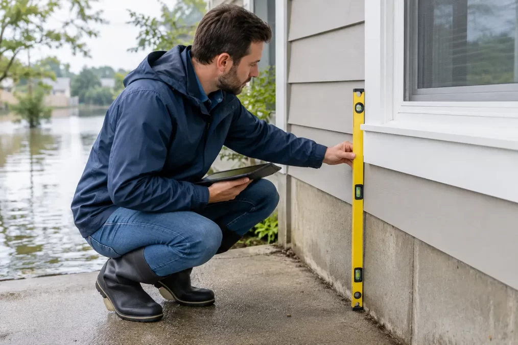
How to Assess Flood Floor Levels on a Property
A floor level can look satisfactory on a set of building plans yet still create a costly approval or construction problem. On flood-affected land, a difference of a few centimetres may affect whether a proposed addition needs to be raised, whether access needs further design, or whether the existing dwelling is suitable for the work planned.
The need to assess flood floor levels property by property is particularly relevant across the Central Coast, where coastal catchments, creeks, lakes and local drainage conditions can change significantly between nearby streets. A reliable answer starts with accurate survey information, then compares that information against the applicable flood planning data and project requirements.
What does assessing flood floor levels involve?
Assessing flood floor levels is not simply measuring from the ground to a doorstep. It is the process of establishing the finished floor level of an existing or proposed building in a recognised datum, then comparing it with relevant flood levels, planning controls and design advice.
For an existing home, the key question may be whether the current floor sits above, below or close to an identified flood planning level. For a new dwelling, extension, secondary dwelling or commercial project, the question is usually what minimum floor level should be adopted before the architect finalises the design.
A surveyor measures and documents levels. The applicable flood planning level is generally determined through Council flood studies, planning certificates, flood mapping, development controls and, where required, specialist flood engineering advice. These are connected tasks, but they are not interchangeable. A level report cannot, by itself, certify that a development meets every flood-related planning requirement.
Start with the correct level datum
The most common source of confusion is comparing numbers that are not referenced to the same datum. A floor level recorded as 3.25 metres is meaningless unless everyone involved knows what that figure is measured from.
For planning and engineering purposes, levels are commonly related to Australian Height Datum, often shown as AHD. Council flood information, engineering drawings and a detailed survey should use a compatible datum so that the comparison is valid. Measuring from a driveway, kerb, garden edge or an assumed benchmark can be useful for a rough discussion, but it is not reliable enough for design or approval decisions.
A registered surveyor can establish the existing floor level, ground levels and site features using survey control tied to an appropriate datum. This gives the architect, planner, engineer and certifier a consistent base for their work.
The information needed for a reliable assessment
A useful assessment usually brings together three sources of information: a detailed survey of the site and building, the relevant flood planning information, and the proposed scope of work.
Accurate existing floor and ground levels
A floor level report may record the finished floor level at nominated points within a dwelling or building. Depending on the purpose, it may also identify garage, carport, verandah, threshold and external ground levels. This helps show how water could approach or enter the structure, and whether an addition will connect to an existing floor at a practical level.
For design work, a topographical or detail and contour survey may be more suitable because it captures a wider picture. This can include building footprints, ridges and gutters, visible services, retaining walls, driveways, drainage structures, trees, fences and contours across the land. The right survey depends on the project. A simple floor level report may be sufficient for a narrow question, while a new home or subdivision will usually need broader site data.
Applicable flood planning information
Flood information can include mapped flood extents, flood planning levels, designated flood events, freeboard allowances, overland flow paths and site-specific conditions. The relevant requirements may differ according to the land, the type of development and the planning pathway.
Do not assume a property is free from flood considerations because it has not flooded in recent memory, or because neighbouring homes appear to be lower. Historical experience can be helpful context, but it is not a substitute for current flood studies and formal planning advice. Conversely, being shown on a broad flood map does not automatically mean every part of a site is subject to the same level or restriction.
A clear development proposal
The intended work affects the level assessment. Raising an old home, adding a ground-floor room, building a detached studio or rebuilding after demolition can trigger different design questions. The location of bedrooms, garages, storage areas, electrical equipment, driveways and pedestrian access may all matter.
Provide the surveyor and design team with a clear outline of what is proposed. Early information reduces the risk of an architect designing a floor level that later needs substantial revision.
A practical process to assess flood floor levels on a property
The best time to address floor levels is before plans are locked in. Leaving the issue until a development application, construction certificate or builder pricing stage can cause avoidable redesign and delay.
First, confirm the property address, lot details and proposed works. If the project involves an existing building, identify which rooms or structures need levels recorded. If there is a previous survey, share it, but do not rely on it without checking its date, datum and suitability for the current work.
Next, arrange a survey appropriate to the purpose. A registered surveyor attends the site, establishes survey control and measures the relevant floor, ground and feature levels. The output should state the datum used and clearly identify the locations to which each level relates.
The design team can then obtain and review the applicable Council flood information. Where the site, development or controls require it, a qualified flood or civil engineer may undertake further assessment. Their role may include interpreting hydraulic conditions, confirming design levels, considering flood storage or flow impacts, and addressing access and evacuation matters.
Finally, compare the nominated design floor level with the surveyed existing levels and applicable flood requirements. This comparison needs to consider more than the main living-room floor. A compliant-looking internal floor can still leave a garage, entry, driveway or connection point with a difficult outcome. The practical buildability of the result matters.
Why small level differences can have major consequences
A 100 millimetre change to a proposed floor level can affect steps, ramps, ceiling heights, retaining walls, stormwater design, driveway grades and connections to an existing dwelling. On a sloping block, raising one portion of a building can increase excavation or fill elsewhere.
There are trade-offs. Raising a floor may improve flood resilience, but it can complicate accessibility, street presentation or the relationship with neighbouring land. Lowering the building may reduce earthworks, but it may not meet the required design level. A coordinated review by the surveyor, architect, engineer and builder is usually the quickest way to resolve these competing requirements before construction starts.
This is also why estimates based on online mapping or a laser level held from the footpath are risky. They may be adequate for an early conversation, but not for decisions that affect approval, structural design or a building contract.
Common mistakes property owners can avoid
One mistake is treating the existing floor level as proof that a new extension can be built at the same height. Older homes may have been approved under different controls, built before a current flood study, or altered over time. Matching an existing level can create an awkward junction with a new part of the building if the new works must sit higher.
Another is confusing natural ground level with finished floor level. Both are relevant, but they answer different questions. Ground levels help assess site fall, drainage and flood behaviour; finished floor levels establish where the occupied building sits.
It is also risky to engage consultants in isolation. A floor level report should reach the architect or building designer promptly, and flood-related advice should be available before the design is finalised. Clear survey drawings and direct communication between consultants save time because discrepancies are found while changes remain inexpensive.
Who should be involved?
A registered land surveyor provides the measured spatial information that underpins the assessment. For Central Coast projects, that often means a detail survey or floor level report prepared in a form that can be used by the wider consultant team.
Council is the source of planning controls and available flood information. An architect or building designer translates constraints into a workable building layout. A flood engineer or civil engineer may be needed where the development requires technical flood modelling, a flood impact assessment or detailed drainage and access design. A certifier and planner may also have roles depending on the approval pathway.
Central Coast Surveyors can provide the accurate level and site survey data that allows these professionals to work from the same factual base. Engaging the survey early is often the simplest way to prevent level questions from holding up the next stage.
Before committing to a design, obtain surveyed floor levels, confirm the datum, and have the applicable flood criteria reviewed against the actual proposal. That early check gives you room to make sensible design choices rather than expensive corrections on site.