
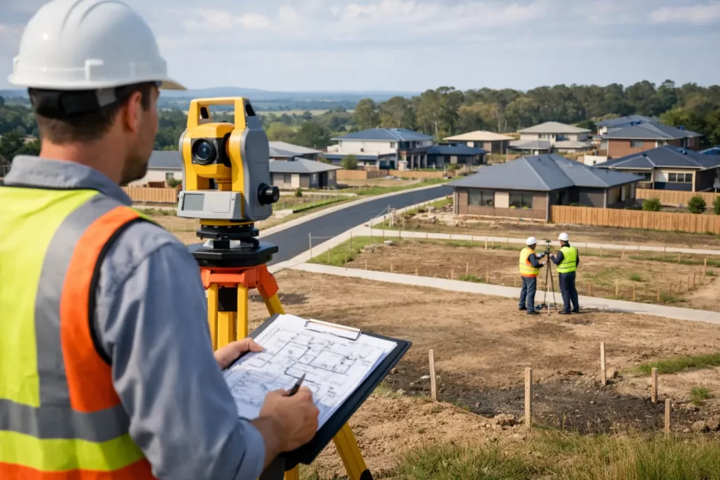
Residential Subdivision Survey Guide for NSW
A residential subdivision can look straightforward on a concept plan: draw a new boundary, provide access and create another title. On the ground, it is a legal, planning and construction process that depends on accurate measurements from the outset. This residential subdivision survey guide explains where surveying fits, what to expect in NSW and how early advice can prevent costly changes later.
For Central Coast property owners and project teams, the key is to treat the surveyor as part of the approval and delivery team, not simply the consultant engaged to prepare a final plan. Boundary evidence, site levels, easements, drainage requirements and existing structures can all influence whether a proposed lot layout is practical.
What a residential subdivision survey covers
Subdivision surveying establishes the precise legal framework for new land parcels, while supplying the spatial information needed by architects, planners and civil engineers. The scope varies with the site and approval pathway, but it commonly begins with a detail and contour survey, followed by cadastral investigation and boundary work.
A detail and contour survey records features that affect design and approvals. This may include buildings, fences, driveways, kerbs, retaining walls, service pits, trees, visible drainage and spot levels across the property. It gives the design team a reliable base plan rather than asking them to work from an old title diagram, aerial image or assumed fence line.
Cadastral work is different. It involves examining the title, plans and available survey evidence to determine the position of the legal boundaries. Existing occupation is useful evidence, but a fence is not automatically the boundary. It may sit inside or outside the title line, or have been placed for practical rather than legal reasons.
When the proposed layout is ready to proceed, the registered surveyor prepares and marks the subdivision. This generally includes placing new boundary marks where required, undertaking final field measurements and preparing the plan and associated documentation for certification and registration.
Why the first survey can shape the whole project
Early survey information has a direct effect on yield, buildability and cost. A narrow site may appear capable of a battle-axe lot until the survey identifies a constrained access width, a road widening, a drainage easement or a retaining wall that makes the design more expensive. Similarly, contours can reveal that a seemingly modest split will require substantial earthworks, stormwater infrastructure or difficult driveway grades.
A proper survey also reduces the risk of designing over land that is not included in the title. This matters where garages, sheds, landscaping, seawalls or older fences are close to the apparent boundary. Resolving these issues before a development application is lodged is usually far more efficient than redesigning after council, a neighbour or a builder raises a question.
For a two-lot residential subdivision, the work may be relatively contained. For a multi-lot development, community title or staged project, the surveyor’s role often expands to coordinate with planners, civil engineers, architects, conveyancers and project managers throughout the process.
Residential subdivision survey guide: the NSW process
There is no single timeline for every subdivision. Council requirements, servicing, site conditions, title constraints and the type of subdivision all matter. However, most Torrens title residential subdivisions in NSW follow the stages below.
1. Establish feasibility and constraints
Before committing to a layout, obtain current title information and arrange a detail and contour survey with a cadastral assessment. The surveyor can identify the legal boundaries, existing easements and relevant physical constraints. Your town planner can then assess zoning, minimum lot size, frontage, environmental controls and other planning provisions.
This is the stage to ask practical questions. Can each lot achieve compliant vehicle access? Is there enough room for building envelopes? Will sewer, water, electricity and stormwater be available to the new lot? Does an existing easement need to be protected, varied or extended? The answers shape both the design and the budget.
2. Prepare the subdivision design and seek approval
The planner, architect or civil engineer prepares the development application documentation using accurate survey information. Council assesses the proposal and may impose conditions addressing road frontage works, drainage, servicing, landscaping, access, bushfire, flooding or environmental matters.
Survey input remains valuable here. A condition may require an easement for drainage, access or services. It may also require land to be dedicated for road widening or a reserve. These are legal land matters that need to be correctly reflected in the final survey plan rather than treated as an administrative detail at the end.
3. Complete required civil and service works
Approval conditions often require physical works before the new titles can be created. Depending on the project, this could include a driveway crossover, stormwater system, sewer connection, water servicing, retaining works or road upgrades.
The surveyor may provide construction set-out so builders and civil contractors can position works to the approved design. Set-out is particularly important for new boundaries, retaining walls, drainage structures and driveways close to lot lines. Small construction errors can become significant if they affect access, easements or compliance clearances.
4. Carry out the final subdivision survey
Once the layout and relevant works are in place, the registered surveyor completes the final field survey. This verifies the new parcels, marks boundaries in accordance with the approved design and gathers the measurements needed for the deposited plan.
The plan must do more than show new lot numbers. It needs to accurately define boundaries and record interests affecting the land, such as easements, restrictions on use or positive covenants where applicable. In NSW, these interests are commonly created through a section 88B instrument prepared with appropriate legal input.
If the project involves a strata or community title subdivision, the process differs. Building plans, floor plans, lot boundaries, common property and by-laws can all require specialist attention. Engage the surveyor early so the proposed ownership structure is understood before construction reaches a point where changes are difficult.
5. Obtain subdivision certification and register the plan
Before registration, the plan must be certified by the relevant certifier, often council or an accredited certifier where permitted. Conditions of consent need to be addressed, and supporting documents from service authorities, council and other parties may be required.
After certification, the plan and associated documents are lodged with NSW Land Registry Services for examination and registration. Registration is the point at which the new lots and titles are legally created. Until then, a proposed lot shown on a planning drawing is not a separate title that can be sold or financed as an independent parcel.
Common issues that cause avoidable delays
The most frequent problems are rarely caused by a single drawing error. They arise when survey, planning, engineering, construction and legal documentation do not align. An approved layout that ignores a registered easement, a driveway built outside the design envelope or a late request to add a drainage right can all slow certification and registration.
Boundary assumptions are another common issue. Owners may have relied on an old fence, online map or neighbouring building line for years. When a subdivision requires precise boundaries, those assumptions must be tested against title evidence and survey measurements. Addressing a discrepancy early gives the project team options. Discovering it after works have started may mean redesign, negotiation or additional cost.
Timing also matters. A final survey cannot be completed properly if access is blocked, construction has obscured marks or civil works are incomplete. Build survey milestones into the programme alongside planning, engineering and service authority tasks. This helps avoid a situation where the project is physically finished but cannot proceed to certification because critical documentation is still outstanding.
Choosing the right survey support
For subdivision work in NSW, use a registered land surveyor with experience in the relevant title type and local approval environment. Registration matters because the final plan is a legal document, not simply a scaled drawing. It needs to satisfy statutory standards and stand up to examination during the registration process.
Ask whether the surveyor can support the project from initial detail survey through to final plan preparation and registration coordination. A team that understands the full lifecycle can flag issues before they reach the expensive end of the project and communicate effectively with your planner, engineer, builder and conveyancer.
At Central Coast Surveyors, this means combining local site knowledge with registered expertise, precise Trimble technology and clear communication at each stage. The objective is not to add another layer of administration. It is to provide reliable survey information that keeps decisions moving.
A subdivision is best progressed in measured steps: confirm the land, test the design, satisfy approval conditions, build accurately and register the plan correctly. Starting with clear survey advice gives every consultant working on the project a sound point from which to proceed.