
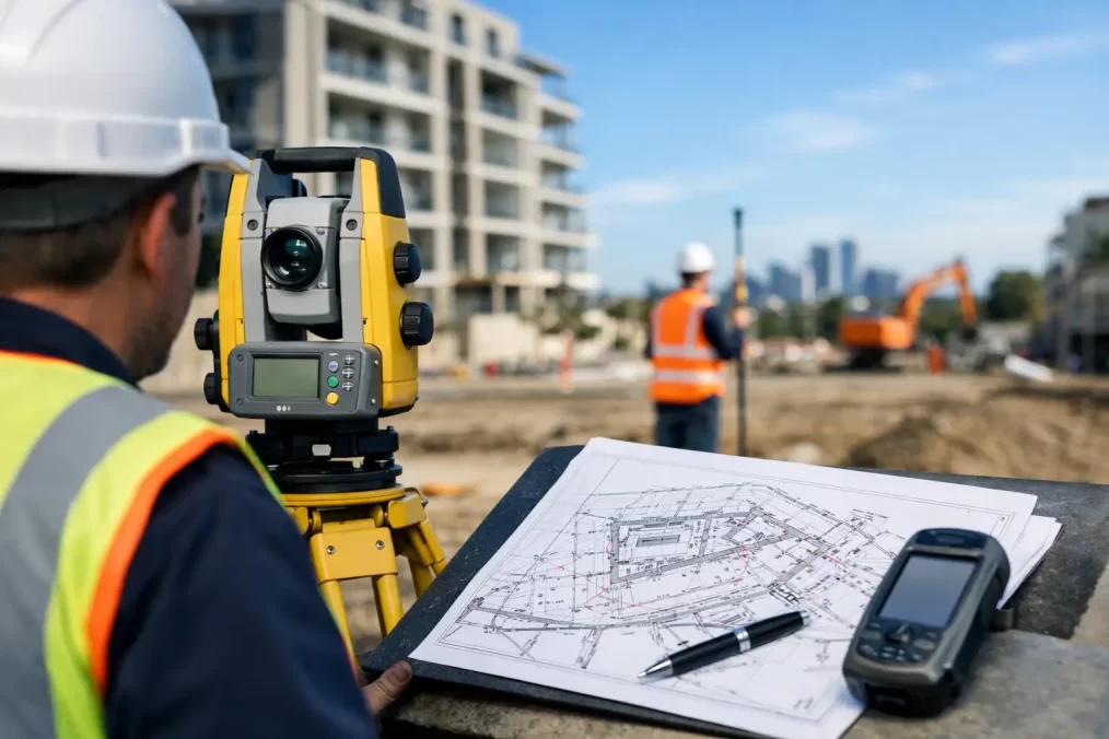
As Constructed Survey Requirements in NSW
A driveway may look complete, a drainage line may already be covered and a new building may be ready for occupation. But if the final works do not match the approved design, or nobody can demonstrate their finished location and level, the project can stall at the point it should be closing out. Understanding as constructed survey requirements before construction starts gives owners, builders and design consultants the evidence needed to manage approvals, certification and future asset records with far less pressure.
An as constructed survey is not simply a final site measure. It is a record of what was actually built, positioned and installed on the land. On Central Coast projects, it is often the document that connects the approved plans, construction work and final compliance process.
What is an as constructed survey?
An as constructed survey, also called a work-as-executed survey, accurately records completed works in relation to property boundaries, design set-out, existing features and a recognised level datum. The resulting plan shows the constructed outcome rather than what was proposed at design stage.
The information captured depends on the project. For a new dwelling, that may include the building footprint, finished floor level, driveway grades, retaining walls, stormwater infrastructure and the relationship of the work to boundaries. For civil or subdivision works, it may cover roads, kerbs, pits, pipes, basins, service connections, easements and finished surface levels.
A registered surveyor uses survey control, field observations and appropriate equipment to produce reliable spatial data. This is materially different from measuring from a construction drawing, relying on a contractor’s mark-up, or estimating locations after excavation has been backfilled.
Why the requirements vary from project to project
There is no single checklist that applies to every NSW site. As constructed survey requirements are usually driven by the development consent, approved engineering drawings, construction certificate conditions, certifier requests and the asset owner’s specifications. A council may require particular drainage or public infrastructure details, while a private certifier may need clear confirmation of building levels and setbacks.
The most efficient approach is to review the relevant documents before work begins. Waiting until practical completion can create an avoidable problem: the critical pipe, pit invert or footing level may no longer be visible, and the surveyor may have to work around finished landscaping, paving or structures.
For works connected to council-controlled assets, the requirements can be particularly detailed. Plans may need nominated coordinates, Australian Height Datum levels, pipe sizes, materials, invert levels, pit details, connection points and final road or drainage grades. The required format, scale, annotation and digital files should be confirmed with the relevant authority rather than assumed from a previous job.
Consent conditions come first
The development consent and stamped plans are the starting point. Look for conditions requiring a work-as-executed plan, certification of drainage, confirmation of finished levels or evidence that an approved design has been followed. Conditions may specify when documents must be provided, such as before the release of a subdivision certificate, occupation certificate or final asset handover.
If changes were made on site, the team also needs to establish whether they are minor construction adjustments or changes that require formal approval. A survey can identify the difference, but it does not make a non-compliant variation acceptable. Early communication between the owner, builder, certifier, engineer and planner is usually the quickest way to resolve it.
Engineering designs set the technical detail
Civil engineers commonly nominate the features and tolerances that require verification. This may include design surface levels, kerb alignments, pipe grades, drainage structures, detention systems and retaining wall locations. Their specifications may also identify a coordinate system, datum and required survey accuracy.
A good survey plan makes it easy for the engineer to compare design against construction. It should provide clear, usable information, not a crowded drawing that leaves the reviewer guessing which level or structure is being shown.
What an as constructed plan commonly includes
The exact scope should be set for the job, but most plans need enough information to identify the site, locate the constructed works and verify key levels. That generally means title details, boundaries, north point, survey datum, plan scale and notes explaining the survey basis.
For a residential building project, the survey may record the following elements where relevant:
- building corners and external walls, including distances to boundaries;
- finished floor levels, garage levels and relevant threshold levels;
- retaining walls, decks, pools, driveways and external stairs;
- stormwater pits, pipes, outlets, on-site detention components and easement connections; and
- finished ground levels where drainage, flood planning or building height is being assessed.
For subdivision and civil construction, the plan can be more extensive. It may need to show lot boundaries, road works, footpaths, kerbs, services, manholes, pits, pipe inverts, headwalls, drainage structures, batters and public-domain works. A schedule of coordinates and levels is often useful where an asset owner needs data for its records.
Not every feature needs the same level of detail. Recording every garden edge on a completed house site adds cost without necessarily helping approval. Conversely, omitting a stormwater connection because it is concealed can prevent final certification. The survey brief should focus on the items the approval authority, engineer or certifier must assess.
When to arrange the survey
The best time to engage a surveyor is before the work starts, ideally as the construction set-out and engineering documentation are being finalised. This allows the survey team to check the conditions, establish control and identify hold points for features that will later be hidden.
For a typical dwelling, a survey may be needed after slab completion to confirm location and level, then again when external drainage and site works are complete. A drainage inspection before trench backfill can be essential where pipe alignment, depth and invert levels need to be proven.
On larger civil jobs, as constructed observations are often collected progressively. Surveying kerb, pavement, pits and pipework at the relevant construction stages is more accurate and usually more economical than attempting one large final survey. It also gives the project manager an early warning if finished works depart from design tolerances.
Accuracy, datum and boundary confidence
A plan is only useful if its measurements are referenced properly. Levels need a clear datum, commonly Australian Height Datum where required by the approval or engineering design. Coordinates also need to match the project’s nominated system so data can be compared without introducing conversion errors.
Boundary issues deserve separate attention. An as constructed survey can show the relationship between visible works and a boundary, but the certainty required depends on the purpose. If a new wall, building or structure is close to a title boundary, a cadastral survey and boundary mark-out by a registered surveyor may be needed before construction, not merely at final inspection.
This distinction matters on constrained sites around Terrigal, Avoca Beach and other established Central Coast suburbs, where older fencing, sloping land and tight setbacks can make assumptions expensive. A fence is not reliable evidence of the legal boundary, and an approved building design does not remove the need for accurate construction set-out.
Common causes of close-out delays
Most late problems are preventable. The first is treating the final survey as an administrative task rather than part of construction quality control. By the time a certifier asks for evidence, the necessary features may be concealed.
The second is using the wrong documents. A surveyor needs the current approved architectural and civil drawings, not an early concept plan or a superseded issue. The third is unclear responsibility. On many projects, the owner assumes the builder is arranging the survey, while the builder assumes the engineer or developer will do it.
A short pre-start conversation can settle the scope, timing and deliverables. Confirm who will supply drawings, which works require pre-backfill observations, whether a registered surveyor’s certification is needed, and who receives the final PDF and any digital survey files.
Choosing the right survey support
The lowest-priced final plan is not always the lowest project cost. A surveyor who understands the approval pathway can identify missing inputs before the team reaches a deadline. They can also coordinate with architects, engineers, certifiers and construction crews so measurements are taken when access is available and the information is still visible.
For clients, the practical questions are straightforward: What does the consent require? Which features must be captured? At what stage should the survey occur? And does the plan need registered surveyor certification or a specific authority format?
Central Coast Surveyors can review the available plans and conditions, define a survey scope suited to the works, and coordinate field observations around the construction programme. That support is particularly valuable where levels, drainage, boundary proximity or subdivision works affect the final approval.
Treat the as constructed survey as a planned project record, not a document to chase at the finish line. When the right information is captured at the right time, final certification and handover become a controlled next step rather than a costly search for evidence.