
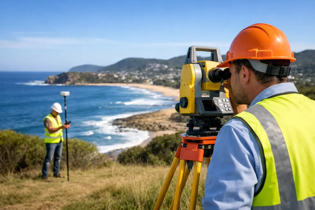
Top Rated Land Surveyors on the Central Coast NSW
A survey that arrives late, misses a critical level or does not match a planner’s requirements can hold up far more than a set of drawings. It can delay a DA, push back a build, create uncertainty around a boundary or leave a subdivision plan unable to progress. When searching for top rated land surveyors on the Central Coast NSW, the right choice is not simply the firm with the strongest online profile. It is the one with the registration, local knowledge and practical systems to keep your particular project moving.
For a homeowner, that may mean a clear identification survey before selling, renovating or applying for a building certificate. For an architect or builder, it may mean accurate contour data delivered early enough to inform design. For a developer, it often means a surveyor capable of managing the work from initial feature survey through to subdivision and plan registration.
What makes a land surveyor highly rated in practice?
A good reputation should be supported by outcomes that matter on site and in the approval process. Land surveying is regulated professional work, not just measuring a block with GPS equipment. The survey information can affect property rights, design decisions, construction levels, council documentation and title registration.
The strongest indicators of a dependable surveyor are usually registration, relevant experience, responsive communication and a clear understanding of the required scope. A registered land surveyor has the authority and competency to undertake cadastral work, including boundary definition and subdivision plans. That distinction matters whenever the work concerns title boundaries, easements, strata plans or dealings with NSW Land Registry Services.
Speed also matters, but it should mean organised fieldwork, capable staff and efficient processing rather than rushed work. A rapid turnaround is valuable when a builder is ready to start, a contract is conditional on an identification survey or consultants are waiting on base information. It still needs to be backed by checking, sound records and a plan that the next consultant can use confidently.
How to assess top rated land surveyors on the Central Coast NSW
Rather than comparing firms on a single rating or a broad service description, ask how they would approach your site and deliverable. The answer will quickly show whether they understand the job.
Confirm the surveyor is registered for title and boundary work
If you need to locate a boundary, create an easement, subdivide land or prepare a plan for registration, confirm that the work is led by a NSW registered land surveyor. This is especially important where old fencing, occupation lines or neighbouring improvements do not appear to match the title boundary.
A fence is not automatically a legal boundary. Nor is a peg found in the ground necessarily reliable without the survey evidence and calculations needed to verify it. A registered surveyor investigates title information, existing marks and relevant records before determining the position of a boundary. That work can prevent costly assumptions before a fence, retaining wall, driveway or new building goes in.
Match the service to the decision you need to make
The phrase ‘land survey’ covers several different services. Appointing the wrong type can create a second round of work and unnecessary delay.
A detail and contour survey records features, levels, buildings, trees, services visible on site and other information needed for design. It is commonly the first step for architects, designers and engineers. An identification survey focuses on the relationship between property boundaries and existing improvements, and may be needed for a building certificate, a sale, a waterfront licence transfer or to clarify encroachments.
Construction set-out transfers approved design information onto the ground so builders can establish building corners, grids, levels and structural elements accurately. Floor level reports provide verified levels against nominated benchmarks or flood-related requirements. Subdivision work can involve boundary definition, easements, survey plans and the coordination required to progress Torrens, strata or community title outcomes.
Explain the reason for the survey when you make contact. A clear brief lets the surveyor recommend the correct scope rather than supplying a generic plan that does not serve the next stage of the project.
Look for local planning and site knowledge
Central Coast sites can bring practical complications that do not always show up in an aerial image. Sloping blocks, bushland, older subdivisions, waterfront land, narrow access, dense vegetation and established residential areas each affect fieldwork and design decisions. Local experience helps a surveyor anticipate what an architect, certifier, council officer, builder or adjoining owner may need to see.
This does not mean every project needs the largest possible scope. A straightforward urban building set-out and a complex waterfront subdivision demand different levels of investigation. The value of local expertise is in identifying those differences early, before they become variations or approval questions later.
Ask how the survey data will work with other consultants
Surveying should make it easier for the project team to do their work. For design projects, ask whether the survey will be issued in formats suitable for architectural and engineering software, and whether the plan will clearly show the information needed for concept design, stormwater design or structural planning.
For construction, establish the nominated datum, control points, design files and set-out responsibility before site work begins. Small discrepancies between plans, levels and assumed boundaries can become expensive once excavation or concrete is underway. A surveyor who communicates directly with your architect, engineer, planner, project manager or builder can resolve questions before they reach site.
Advanced field technology, including Trimble surveying equipment, can improve accuracy and efficiency. However, equipment is only part of the picture. The quality of the field records, office calculations, professional judgement and checking process remains just as important.
Questions worth asking before you appoint a surveyor
A practical conversation at the quotation stage can save weeks later. Ask what information the surveyor needs from you, what the deliverables include, whether a site visit is required before pricing, and what timeframe applies from instruction to final plans.
It is also sensible to ask whether title documents, deposited plans, development consent, architectural drawings or engineering files are needed. For an identification survey or boundary mark-out, ask how existing boundary evidence will be assessed and whether any adjoining issues may need further investigation. For a subdivision, ask which parts of the process the surveyor can coordinate and which approvals or specialist reports sit with other consultants.
Price matters, but the cheapest fee is not always the lowest project cost. A quote may look attractive because it excludes field complexity, plan formats, liaison, additional marks, construction visits or registration-related work. Compare scopes line by line. A transparent quotation should identify the purpose of the survey, what will be delivered, key assumptions and likely factors that could affect the fee.
When a quick survey is appropriate – and when it is not
Some work genuinely needs a fast response. A builder may need set-out before a scheduled pour, or a property owner may require an identification survey to satisfy a transaction deadline. A well-equipped local consultancy can often respond quickly when the brief, access and documents are ready.
Other work needs time because the risk is higher. Boundary discrepancies, incomplete records, difficult terrain, complex title histories and subdivision designs can require additional research and field verification. In these circumstances, a surveyor who explains the reason for the extra work is protecting the project, not creating unnecessary delay.
Early engagement usually provides the best balance. Involve the surveyor before finalising building placement, signing off civil design or committing to a fence line. The earlier accurate information is available, the more cheaply a design issue can be resolved.
Choose a project partner, not just a plan provider
The best surveying appointment gives you more than a PDF at the end of a job. It gives your team dependable information, a clear point of contact and practical guidance when the site or title records raise questions. Central Coast Surveyors supports this full process, from detail surveys and boundary work through construction set-out, subdivision and registration requirements.
Before committing, provide the property address, the project purpose, any available plans and your required timeframe. A capable registered surveyor can then define the right scope, identify foreseeable issues and help you take the next step with confidence rather than assumption.