
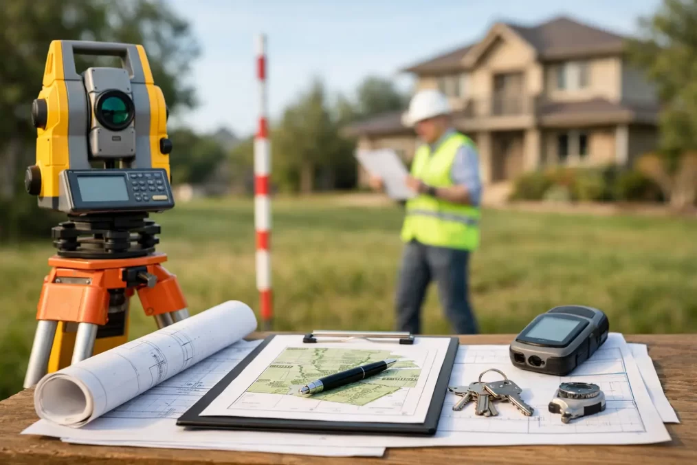
Property Survey Approval Process Guide for NSW
A survey is rarely the document that receives development consent on its own. It is the evidence that lets your architect, planner, engineer, certifier, council and NSW Land Registry Services make the right decisions. This property survey approval process guide explains where surveying fits, what to organise first and how to avoid the errors that hold up Central Coast projects.
The first question is not, “Which survey do I need?” It is, “What decision needs to be made?” A new dwelling, secondary dwelling, extension, subdivision, building certificate, waterfront licence transfer or boundary dispute each calls for different information. Ordering the right survey early saves redesign, repeat site visits and avoidable approval delays.
Start with the project outcome, not a generic survey
Before a surveyor attends site, clarify the intended work, the property address and lot details, whether construction has already occurred, and the approval pathway you expect to use. Your surveyor can then advise what survey information is likely to be required and coordinate it with the wider consultant team.
For a new home, alteration or development application, a detail and contour survey is often the practical starting point. It records the existing ground levels, buildings, visible services, trees, fences, roads, kerbs and other site features relevant to design. Your architect can use this base information to position the building, manage drainage and assess the site against planning controls.
If the question is whether an existing building sits within its legal parcel, an identification survey may be the appropriate document. This is commonly requested for council building certificate matters, property transactions and waterfront licence transfers. It compares improvements and occupation with the title boundaries and identifies issues that need to be addressed.
A cadastral boundary mark-out has a narrower purpose. It identifies the legal boundary position on the ground, which is useful before fencing, building near a boundary, resolving uncertainty or planning an easement. It should not be substituted for a topographical survey where design levels and site features are required.
The property survey approval process in NSW
Every site has its own constraints, but the survey approval process generally follows a clear sequence. Good coordination at each stage is what keeps the next consultant moving.
1. Confirm title, controls and the scope of work
A registered surveyor reviews the available title information, deposited plans and relevant survey records before fieldwork. For development work, the team also needs to understand the proposed design and likely approval requirements. This early review helps identify whether the site involves an easement, restricted covenant, irregular boundary, access issue or existing encroachment that could affect the proposal.
Do not assume a fence represents the boundary. Fences can be offset, replaced over time or built for convenience rather than legal accuracy. Similarly, online mapping and old marketing plans can help with orientation, but they are not a substitute for a cadastral survey.
2. Complete field survey work accurately
The field component varies with the scope. A detail and contour survey captures physical site information and levels. A boundary survey involves cadastral evidence, measurements and boundary reinstatement. For construction, the surveyor translates approved design coordinates and levels into accurate marks on site.
Access matters. Make sure gates are unlocked where possible, dogs are secured and any relevant site hazards are disclosed. On steep, heavily vegetated or waterfront land, fieldwork can take longer because visibility and safe access affect what can be observed. Fast turnaround is valuable, but it should never mean incomplete site data.
3. Issue survey plans in a format the project team can use
A survey plan should be clear enough for the next decision-maker to rely on it. Depending on the project, the deliverable may include a PDF plan, CAD file, digital terrain model, boundary information or a formal identification survey report.
The architect or building designer uses the survey to develop a concept that responds to the land. Town planners may use it to assess setbacks, height planes, site coverage and environmental controls. Civil and structural engineers use accurate levels and features to design drainage, retaining, access and structural solutions.
This is where a common false economy appears. Designing from rough measurements, aerial imagery or an old plan can look cheaper at first. If the finished survey later reveals a fall across the block, an overlooked easement or a building envelope problem, the redesign cost can be far higher than commissioning suitable information at the outset.
4. Resolve issues before lodging an application
A survey can reveal matters that need a response before plans are lodged. These may include a building close to a boundary, inconsistent fence lines, a drainage easement, insufficient information about existing levels or an access constraint.
Not every issue prevents approval. Some are managed through revised design, further investigation, an easement, owner consent, a planning variation or advice from the relevant authority. The key is to identify the issue while the project remains flexible, rather than after drawings, consultant reports and application fees have been committed.
For work requiring development consent, the consent authority will assess the complete application against applicable planning controls. For complying development or building work, a private certifier or council may require survey information to verify siting and compliance. Requirements differ between projects, so your surveyor should work alongside the designer, planner and certifier rather than attempting to replace their roles.
5. Use survey control during construction
Approval is not the end of the surveying role. Once work starts, construction set-out establishes the positions and levels shown on the approved drawings. This can include building corners, excavation lines, piers, retaining walls, roads, drainage and finished floor levels.
Set-out should occur before irreversible work begins. A slab or wall built in the wrong position can create expensive compliance and boundary problems, especially on tighter residential sites. Builders also benefit from clear, timely marks that reduce uncertainty for trades and keep the programme on track.
As construction progresses, floor level reports or as-built surveys may be needed to confirm completed work. These reports can assist with certification, contractual checks and evidence that required levels have been achieved.
6. Register subdivision, strata or easement plans correctly
Subdivision and title work requires a more formal process. Whether the project involves Torrens title subdivision, strata subdivision, community title, a lease plan or an easement, the plan must meet NSW Land Registry Services requirements and be prepared by a registered surveyor where required.
The surveyor coordinates boundary definition, plan preparation and the technical steps needed for registration. Other parties may include council, a certifier, solicitor, conveyancer, lender, owners corporation, utility authority and adjoining owners. Timing depends on the type of title, conditions of consent, service works and the speed at which each party provides approvals or signatures.
This is not a stage to leave until construction is nearly complete. Conditions of consent can require plans, works, certificates or easement documentation before final registration. Early surveying advice gives the project team time to sequence these requirements properly.
What commonly delays property approvals
Most survey-related delays are preventable. They usually arise because survey information is ordered late, the scope does not match the project, design changes are not sent to the surveyor, or a boundary assumption is treated as fact.
Communication across consultants is equally important. If an architect changes the building footprint, the civil engineer revises levels or a planner identifies a setback issue, the surveyor needs the current information. One coordinated survey partner can reduce duplicated effort by supplying consistent site control and responding quickly as the design develops.
Property owners should also retain copies of titles, old plans, approvals and relevant correspondence. These documents may not settle every boundary question, but they can help the project team understand the history of the site and identify issues sooner.
Choosing the right surveyor for an approval project
For land boundary, subdivision and title matters, use a registered surveyor with NSW cadastral expertise. Registration matters because legal boundaries and plans for registration involve professional responsibilities that go beyond measuring visible features on site.
For development and construction work, look for a surveyor who can support the full project cycle: initial detail and contour work, boundary advice, set-out, final surveys and title registration where needed. Local knowledge also helps. Central Coast sites can involve steep grades, bushland, coastal exposure, older subdivisions, waterfront land and constrained access, all of which affect survey planning and design decisions.
Central Coast Surveyors works with property owners and project teams from early site information through to construction and registration. The practical benefit is straightforward: fewer handovers, clearer information and a surveyor who understands why the next deadline matters.
The best time to involve a surveyor is before the first plans are drawn in detail. A clear survey brief, accurate site data and regular communication give every later decision a firmer foundation – and give your project a better chance of progressing without costly surprises.